St. Bees
Welcome to St. Bees, a Tropical island in the Coral Sea, part of the majestic Pacific Ocean. This guide offers a comprehensive overview of what makes St. Bees unique – from its geography and climate to its population, infrastructure, and beyond. Dive into the details:
- Geography and Size: Explore the island’s size and location.
- Climate and Weather: Weather patterns and temperature.
- Topography and Nature: Uncover the natural wonders of the island.
- Infrastructure and Travelling: Insights on reaching, staying, and making the most of your visit.
- News and Headlines: Latest News.
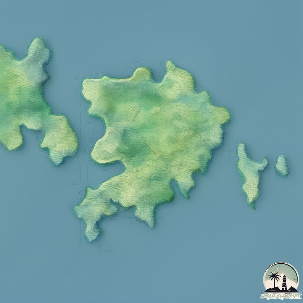
Geography and size of St. Bees
Size: 10.5 km²
Coastline: 22.5 km
Ocean: Pacific Ocean
Sea: Coral Sea
Continent: Oceania
St. Bees is a Medium Island spanning 11 km² with a coastline of 22 km.
Archipel: –
Tectonic Plate: Australia – A major tectonic plate covering Australia, New Zealand, and parts of the Indian and Pacific Oceans, known for its relative stability and occasional seismic activity.
The geographic heart of the island is pinpointed at these coordinates:
Latitude: -20.92207624 / Longitude: 149.44210367
Climate and weather of St. Bees
Climate Zone: Tropical
Climate Details: Tropical Savanna, Wet
Temperature: Hot
Climate Characteristics: Defined by distinct wet and dry seasons with high temperatures year-round. Pronounced rainfall occurs during the wet season, while the dry season is marked by drought.
Topography and nature of St. Bees
Timezone: UTC+10:00
Timezone places: Australia/Sydney
Max. Elevation: 279 m
Mean Elevation: 104 m
Vegetation: Evergreen Broadleaf Forest
Tree Coverage: 53%
The mean elevation is 104 m. The highest elevation on the island reaches approximately 279 meters above sea level. The island is characterized by Hills: Gently sloping landforms with rounded tops, having a maximum elevation between 200 and 500 meters. Hills contribute to a varied landscape on islands.
Dominating Vegetation: Evergreen Broadleaf Forest
Characterized by dense, lush canopies of broadleaf trees that retain their leaves year-round. These forests are typically found in tropical and subtropical regions and are known for their high biodiversity. St. Bees has a tree cover of 53 %.
Vegetation: 6 vegetation zones – Very Highly Diverse Island
Islands in this range are ecological powerhouses, showcasing a wide array of vegetation zones. Each zone, from lush rainforests to arid scrublands, coastal mangroves to mountainous regions, contributes to a complex and interdependent ecosystem. These islands are often hotspots of biodiversity, supporting numerous species and intricate ecological processes.
Infrastructure and Travelling to St. Bees
Does the island have a public airport? no.
There is no public and scheduled airport on St. Bees. The nearest airport is Mackay Airport, located 37 km away.
Does the island have a major port? no.
There are no major ports on St. Bees. The closest major port is MACKAY, approximately 30 km away.
The mean population of St. Bees is 1 per km². St. Bees is Gently Populated. The island belongs to Australia.
Continuing your journey, Scawfell is the next notable island, situated merely km away.
Australia is classified as Developed region: nonG7: Developed economies outside of the Group of Seven, characterized by high income and advanced economic structures. The level of income is High income: OECD.
News – Latest Updates and Headlines from St. Bees
Stay informed with the most recent news and important headlines from St. Bees. Here’s a roundup of the latest developments.
- Jersey pupils learn about bee conservation - BBC.comon 11 July 2024
Jersey pupils learn about bee conservation BBC.com
- Pretty seaside village named best dog-friendly place in all of the UK - The Mirroron 9 July 2024
Pretty seaside village named best dog-friendly place in all of the UK The Mirror
- Island and Southampton bands join forces on new fundraising cassette - Isle of Wight County Presson 13 June 2024
Island and Southampton bands join forces on new fundraising cassette Isle of Wight County Press
- A Buzz on the Island! Plans for new bee museum in Limerick - Limerick's Live 95on 20 May 2024
A Buzz on the Island! Plans for new bee museum in Limerick Limerick's Live 95
- Invasive yellow-legged hornet queen captured in Jasper County. How they kill honey bees - Hilton Head Island Packeton 4 April 2024
Invasive yellow-legged hornet queen captured in Jasper County. How they kill honey bees Hilton Head Island Packet
- The buzz on Big Island Bees - West Hawaii Todayon 16 March 2024
The buzz on Big Island Bees West Hawaii Today
- Looking back at our local villages throughout the years - News & Staron 17 February 2024
Looking back at our local villages throughout the years News & Star
- Expanding the known distribution of phascolartid gammaherpesvirus 1 in koalas to populations across Queensland and New South Wales - Nature.comon 12 January 2024
Expanding the known distribution of phascolartid gammaherpesvirus 1 in koalas to populations across Queensland and New South Wales Nature.com
- In this French seaside town, discover the places in ‘All the Light We Cannot See’ - National Geographicon 27 November 2023
In this French seaside town, discover the places in ‘All the Light We Cannot See’ National Geographic
- Hiker rescued from volcano crater on Caribbean Island - Loop News Caribbeanon 22 October 2023
Hiker rescued from volcano crater on Caribbean Island Loop News Caribbean
Please note: The data used here has been primarily extracted from satellite readings. Deviations from exact values may occur, particularly regarding the height of elevations and population density. Land area and coastline measurements refer to average values at mean high tide.