Afognak
Welcome to Afognak, a Continental island in the Gulf of Alaska, part of the majestic Pacific Ocean. This guide offers a comprehensive overview of what makes Afognak unique – from its geography and climate to its population, infrastructure, and beyond. Dive into the details:
- Geography and Size: Explore the island’s size and location.
- Climate and Weather: Weather patterns and temperature.
- Topography and Nature: Uncover the natural wonders of the island.
- Infrastructure and Travelling: Insights on reaching, staying, and making the most of your visit.
- News and Headlines: Latest News.
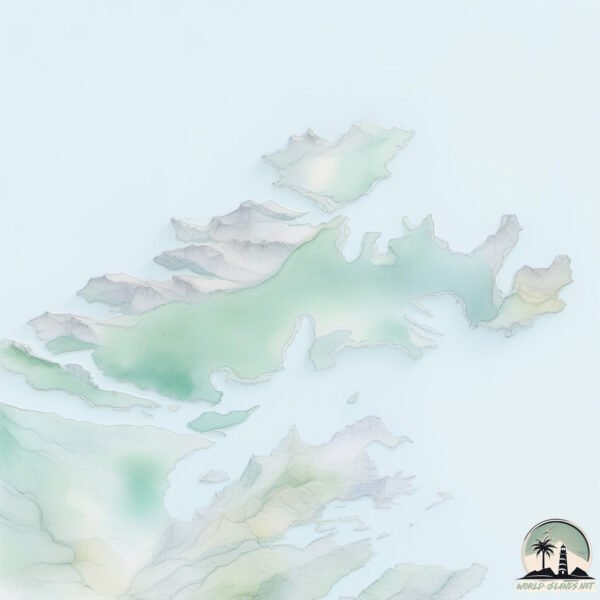
Geography and size of Afognak
Size: 1834 km²
Coastline: 1135 km
Ocean: Pacific Ocean
Sea: Gulf of Alaska
Continent: North America
Afognak is a Very Large Island spanning 1834 km² with a coastline of 1135 km.
Archipel: –
Tectonic Plate: North America – Covers North America and parts of the Atlantic and Arctic Oceans, characterized by diverse geological features and varying levels of seismic activity.
The geographic heart of the island is pinpointed at these coordinates:
Latitude: 58.23258361 / Longitude: -152.61520673
Climate and weather of Afognak
Climate Zone: Continental
Climate Details: Subarctic Climate
Temperature: Cold Summer
Climate Characteristics: Characterized by long, extremely cold winters and short, cool summers, often found in northern latitudes of North America and Eurasia.
Topography and nature of Afognak
Timezone: UTC-09:00
Timezone places: America/Anchorage
Max. Elevation: 607 m
Mean Elevation: 190 m
Vegetation: Deciduous Needleleaf Forest
Tree Coverage: 63%
The mean elevation is 190 m. The highest elevation on the island reaches approximately 607 meters above sea level. The island is characterized by Plateau: Elevated flatlands rising sharply above the surrounding area, with a maximum elevation over 500 meters but a mean elevation less than 300 meters, forming unique highland areas on islands.
Dominating Vegetation: Deciduous Needleleaf Forest
Consists of needleleaf trees that shed their needles annually. This type of forest is less common and can be found in certain cold, northern regions. Afognak has a tree cover of 63 %.
Vegetation: 11 vegetation zones – Exceptionally Diverse Island
Islands with more than ten vegetation zones are among the most ecologically rich and varied in the world. These islands are akin to miniature continents, boasting an incredible array of ecosystems. The sheer range of habitats, from high peaks to deep valleys, rainforests to deserts, creates a mosaic of life that is unparalleled. They are crucial for conservation and ecological studies.
Infrastructure and Travelling to Afognak
Does the island have a public airport? no.
There is no public and scheduled airport on Afognak. The nearest airport is Port Lions Airport, located 12 km away.
Does the island have a major port? no.
There are no major ports on Afognak. The closest major port is HOGG ISLAND, approximately 1 km away.
The mean population of Afognak is 0 per km². Afognak is Uninhabited. The island belongs to United States of America.
The name of the island resonates across different cultures and languages. Here is how it is known around the world: Arabic: جزيرة كودياك; German: Kodiak-Insel; Spanish: Isla Kodiak; French: Île Kodiak; Portuguese: Ilha Kodiak; Russian: Кадьяк; Chinese: 科迪亚克岛
Continuing your journey, Ban is the next notable island, situated merely km away.
Crazy Bear Story! (Afognak Island)


United States of America is classified as Developed region: G7: Group of Seven – Major advanced economies, including Canada, France, Germany, Italy, Japan, the United Kingdom, and the United States. The level of income is High income: OECD.
News – Latest Updates and Headlines from Afognak
Stay informed with the most recent news and important headlines from Afognak. Here’s a roundup of the latest developments.
Social Media Posts about Afognak
Please note: The data used here has been primarily extracted from satellite readings. Deviations from exact values may occur, particularly regarding the height of elevations and population density. Land area and coastline measurements refer to average values at mean high tide.