Bremangerlandet
Welcome to Bremangerlandet, a Temperate island in the Norwegian Sea, part of the majestic Arctic Ocean. This guide offers a comprehensive overview of what makes Bremangerlandet unique – from its geography and climate to its population, infrastructure, and beyond. Dive into the details:
- Geography and Size: Explore the island’s size and location.
- Climate and Weather: Weather patterns and temperature.
- Topography and Nature: Uncover the natural wonders of the island.
- Infrastructure and Travelling: Insights on reaching, staying, and making the most of your visit.
- News and Headlines: Latest News.
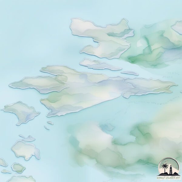
Geography and size of Bremangerlandet
Size: 150.8 km²
Coastline: 139.3 km
Ocean: Arctic Ocean
Sea: Norwegian Sea
Continent: Europe
Bremangerlandet is a Large Island spanning 151 km² with a coastline of 139 km.
Archipel: –
Tectonic Plate: New Hebrides – A small plate in the southwestern Pacific Ocean, responsible for the New Hebrides Trench and known for its complex interaction with the Australian Plate.
The geographic heart of the island is pinpointed at these coordinates:
Latitude: 61.84595253 / Longitude: 5.02862559
Climate and weather of Bremangerlandet
Climate Zone: Temperate
Climate Details: Temperate Oceanic Climate
Temperature: Warm Summer
Climate Characteristics: Known for its moderate year-round temperatures with ample rainfall and no dry season. Warm summers are characteristic.
Topography and nature of Bremangerlandet
Timezone: UTC+01:00
Timezone places: Europe/Paris
Max. Elevation: 814 m
Mean Elevation: 325 m
Vegetation: Herbaceous Cover
Tree Coverage: 33%
The mean elevation is 325 m. The highest elevation on the island reaches approximately 814 meters above sea level. The island is characterized by Mountains: High, steeply elevated landforms. Characterized by both a high maximum elevation (over 500 meters) and a high mean elevation, creating rugged, mountainous terrains on islands.
Dominating Vegetation: Herbaceous Cover
Comprising mainly of grasses, herbs, and ferns, these areas are common in prairies, meadows, and savannas, and can vary widely in species composition. Bremangerlandet has a tree cover of 33 %.
Vegetation: 11 vegetation zones – Exceptionally Diverse Island
Islands with more than ten vegetation zones are among the most ecologically rich and varied in the world. These islands are akin to miniature continents, boasting an incredible array of ecosystems. The sheer range of habitats, from high peaks to deep valleys, rainforests to deserts, creates a mosaic of life that is unparalleled. They are crucial for conservation and ecological studies.
Infrastructure and Travelling to Bremangerlandet
Does the island have a public airport? no.
There is no public and scheduled airport on Bremangerlandet. The nearest airport is Florø Airport, located 22 km away.
Does the island have a major port? no.
There are no major ports on Bremangerlandet. The closest major port is MALOY, approximately 6 km away.
The mean population of Bremangerlandet is 5 per km². Bremangerlandet is Gently Populated. The island belongs to Norway.
Continuing your journey, Froya is the next notable island, situated merely km away.
FJORDS NORWAY - Grotlesanden Beach at Grotle at Bremangerlandet


Norway is classified as Developed region: nonG7: Developed economies outside of the Group of Seven, characterized by high income and advanced economic structures. The level of income is High income: OECD.
News – Latest Updates and Headlines from Bremangerlandet
Stay informed with the most recent news and important headlines from Bremangerlandet. Here’s a roundup of the latest developments.
Please note: The data used here has been primarily extracted from satellite readings. Deviations from exact values may occur, particularly regarding the height of elevations and population density. Land area and coastline measurements refer to average values at mean high tide.