Chugul
Welcome to Chugul, a Polar island in the Bering Sea, part of the majestic Pacific Ocean. This guide offers a comprehensive overview of what makes Chugul unique – from its geography and climate to its population, infrastructure, and beyond. Dive into the details:
- Geography and Size: Explore the island’s size and location.
- Climate and Weather: Weather patterns and temperature.
- Topography and Nature: Uncover the natural wonders of the island.
- Infrastructure and Travelling: Insights on reaching, staying, and making the most of your visit.
- News and Headlines: Latest News.
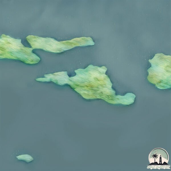
Geography and size of Chugul
Size: 17 km²
Coastline: 42.3 km
Ocean: Pacific Ocean
Sea: Bering Sea
Continent: North America
Chugul is a Medium Island spanning 17 km² with a coastline of 42 km.
Archipel: Aleutian Islands – A chain of islands stretching from Alaska to Russia, known for their rugged beauty, abundant wildlife, and volcanic activity.
Tectonic Plate: North America – Covers North America and parts of the Atlantic and Arctic Oceans, characterized by diverse geological features and varying levels of seismic activity.
The geographic heart of the island is pinpointed at these coordinates:
Latitude: 51.9382331 / Longitude: -175.81290075
Climate and weather of Chugul
Climate Zone: Polar
Climate Details: Tundra
Temperature: Cold
Climate Characteristics: The tundra climate features long, extremely cold winters and short, cool summers. Vegetation is limited to mosses, lichens, and small shrubs due to the low temperatures and short growing seasons. Biodiversity is low, but some specialized species thrive.
Topography and nature of Chugul
Timezone: UTC-10:00
Timezone places: Pacific/Honolulu
Max. Elevation: 366 m
Mean Elevation: 159 m
Vegetation: Herbaceous Cover
Tree Coverage: 40%
The mean elevation is 159 m. The highest elevation on the island reaches approximately 366 meters above sea level. The island is characterized by Hills: Gently sloping landforms with rounded tops, having a maximum elevation between 200 and 500 meters. Hills contribute to a varied landscape on islands.
Dominating Vegetation: Herbaceous Cover
Comprising mainly of grasses, herbs, and ferns, these areas are common in prairies, meadows, and savannas, and can vary widely in species composition. Chugul has a tree cover of 40 %.
Vegetation: 9 vegetation zones – Very Highly Diverse Island
Islands in this range are ecological powerhouses, showcasing a wide array of vegetation zones. Each zone, from lush rainforests to arid scrublands, coastal mangroves to mountainous regions, contributes to a complex and interdependent ecosystem. These islands are often hotspots of biodiversity, supporting numerous species and intricate ecological processes.
Infrastructure and Travelling to Chugul
Does the island have a public airport? no.
There is no public and scheduled airport on Chugul. The nearest airport is Adak Airport, located 85 km away.
Does the island have a major port? no.
There are no major ports on Chugul. The closest major port is ADAK NAVAL AIR STATION, approximately 84 km away.
The mean population of Chugul is 0 per km². Chugul is Uninhabited. The island belongs to United States of America.
Continuing your journey, Igitkin is the next notable island, situated merely km away.
Chugul hori


United States of America is classified as Developed region: G7: Group of Seven – Major advanced economies, including Canada, France, Germany, Italy, Japan, the United Kingdom, and the United States. The level of income is High income: OECD.
News – Latest Updates and Headlines from Chugul
Stay informed with the most recent news and important headlines from Chugul. Here’s a roundup of the latest developments.
Please note: The data used here has been primarily extracted from satellite readings. Deviations from exact values may occur, particularly regarding the height of elevations and population density. Land area and coastline measurements refer to average values at mean high tide.