Codfish
Welcome to Codfish, a Temperate island in the Tasman Sea, part of the majestic Pacific Ocean. This guide offers a comprehensive overview of what makes Codfish unique – from its geography and climate to its population, infrastructure, and beyond. Dive into the details:
- Geography and Size: Explore the island’s size and location.
- Climate and Weather: Weather patterns and temperature.
- Topography and Nature: Uncover the natural wonders of the island.
- Infrastructure and Travelling: Insights on reaching, staying, and making the most of your visit.
- News and Headlines: Latest News.
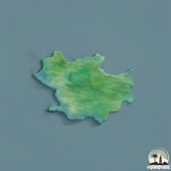
Geography and size of Codfish
Size: 15.6 km²
Coastline: 30.9 km
Ocean: Pacific Ocean
Sea: Tasman Sea
Continent: Oceania
Codfish is a Medium Island spanning 16 km² with a coastline of 31 km.
Archipel: Polynesia – A region of more than 1,000 islands in the central and southern Pacific Ocean, known for their diverse Polynesian cultures, stunning landscapes, and marine biodiversity.
Tectonic Plate: Pacific – The world’s largest tectonic plate, covering much of the Pacific Ocean, known for the Pacific Ring of Fire with extensive seismic and volcanic activity.
The geographic heart of the island is pinpointed at these coordinates:
Latitude: -46.77323108 / Longitude: 167.63129779
Climate and weather of Codfish
Climate Zone: Temperate
Climate Details: Temperate Oceanic Climate
Temperature: Warm Summer
Climate Characteristics: Known for its moderate year-round temperatures with ample rainfall and no dry season. Warm summers are characteristic.
Topography and nature of Codfish
Timezone: UTC+12:00
Timezone places: Pacific/Auckland
Max. Elevation: 228 m
Mean Elevation: 106 m
Vegetation: Evergreen Needleleaf Forest
Tree Coverage: 98%
The mean elevation is 106 m. The highest elevation on the island reaches approximately 228 meters above sea level. The island is characterized by Hills: Gently sloping landforms with rounded tops, having a maximum elevation between 200 and 500 meters. Hills contribute to a varied landscape on islands.
Dominating Vegetation: Evergreen Needleleaf Forest
Dominated by evergreen coniferous trees such as pines and firs, which retain their needle-like leaves throughout the year. These forests are often found in cooler climates. Codfish has a tree cover of 98 %.
Vegetation: 4 vegetation zones – Diverse Island
Four distinct vegetation zones mark these islands as ecologically diverse. They might feature varied landscapes such as forests, beaches, grasslands, and rocky areas. Such diversity reflects the island’s complex ecological interactions and varied habitats, which can support a rich array of wildlife and plant species.
Infrastructure and Travelling to Codfish
Does the island have a public airport? no.
There is no public and scheduled airport on Codfish. The nearest airport is Invercargill Airport, located 82 km away.
Does the island have a major port? no.
There are no major ports on Codfish. The closest major port is BLUFF HARBOR, approximately 77 km away.
The mean population of Codfish is per km². Codfish is . The island belongs to New Zealand.
Continuing your journey, Stewart is the next notable island, situated merely km away.
Codfish Island / Whenua Hou to Invercargill, MD520N


New Zealand is classified as Developed region: G7: Group of Seven – Major advanced economies, including Canada, France, Germany, Italy, Japan, the United Kingdom, and the United States. The level of income is High income: OECD.
News – Latest Updates and Headlines from Codfish
Stay informed with the most recent news and important headlines from Codfish. Here’s a roundup of the latest developments.
Please note: The data used here has been primarily extracted from satellite readings. Deviations from exact values may occur, particularly regarding the height of elevations and population density. Land area and coastline measurements refer to average values at mean high tide.