East Falkland
Welcome to East Falkland, a Temperate island in the South Atlantic Ocean, part of the majestic Atlantic Ocean. This guide offers a comprehensive overview of what makes East Falkland unique – from its geography and climate to its population, infrastructure, and beyond. Dive into the details:
- Geography and Size: Explore the island’s size and location.
- Climate and Weather: Weather patterns and temperature.
- Topography and Nature: Uncover the natural wonders of the island.
- Infrastructure and Travelling: Insights on reaching, staying, and making the most of your visit.
- News and Headlines: Latest News.
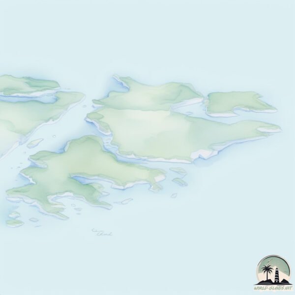
Geography and size of East Falkland
Size: 6502 km²
Coastline: 2947 km
Ocean: Atlantic Ocean
Sea: South Atlantic Ocean
Continent: South America
East Falkland is a Very Large Island spanning 6502 km² with a coastline of 2947 km.
Archipel: Falkland Islands – Located in the South Atlantic Ocean, this British Overseas Territory is known for its rugged terrain, biodiversity, and historical significance.
Tectonic Plate: South America – A major plate covering the South American continent and part of the Atlantic Ocean, known for the Andes mountain range and significant seismic and volcanic activity.
The geographic heart of the island is pinpointed at these coordinates:
Latitude: -51.74102998 / Longitude: -58.75417479
Climate and weather of East Falkland
Climate Zone: Temperate
Climate Details: Subpolar Oceanic Climate
Temperature: Cold Summer
Climate Characteristics: Predominantly cold with cool summers and no dry season. Often found in coastal areas at higher latitudes or on islands.
Topography and nature of East Falkland
Timezone: UTC-04:00
Timezone places: America/La_Paz
Max. Elevation: 644 m
Mean Elevation: 65 m
Vegetation: Herbaceous Cover
Tree Coverage: 18%
The mean elevation is 65 m. The highest elevation on the island reaches approximately 644 meters above sea level. The island is characterized by Plateau: Elevated flatlands rising sharply above the surrounding area, with a maximum elevation over 500 meters but a mean elevation less than 300 meters, forming unique highland areas on islands.
Dominating Vegetation: Herbaceous Cover
Comprising mainly of grasses, herbs, and ferns, these areas are common in prairies, meadows, and savannas, and can vary widely in species composition. East Falkland has a tree cover of 18 %.
Vegetation: 12 vegetation zones – Exceptionally Diverse Island
Islands with more than ten vegetation zones are among the most ecologically rich and varied in the world. These islands are akin to miniature continents, boasting an incredible array of ecosystems. The sheer range of habitats, from high peaks to deep valleys, rainforests to deserts, creates a mosaic of life that is unparalleled. They are crucial for conservation and ecological studies.
Infrastructure and Travelling to East Falkland
Does the island have a public airport? yes.
East Falkland has a public and scheduled airport. The following airports are located on this island: Mount Pleasant Airport, Port Stanley Airport.
Does the island have a major port? yes.
East Falkland is home to a major port. The following ports are situated on the island: STANLEY.
The mean population of East Falkland is 0 per km². East Falkland is Uninhabited. The island belongs to United Kingdom.
The name of the island resonates across different cultures and languages. Here is how it is known around the world: Arabic: جزيرة فوكلاند الشرقية; German: Ostfalkland; Spanish: Isla Soledad; French: Malouine orientale; Portuguese: Malvina Oriental; Russian: Восточный Фолкленд; Chinese: 索莱达岛
Continuing your journey, Great is the next notable island, situated merely km away.
United Kingdom is classified as Developed region: G7: Group of Seven – Major advanced economies, including Canada, France, Germany, Italy, Japan, the United Kingdom, and the United States. The level of income is High income: OECD.
News – Latest Updates and Headlines from East Falkland
Stay informed with the most recent news and important headlines from East Falkland. Here’s a roundup of the latest developments.
Social Media Posts about East Falkland
Please note: The data used here has been primarily extracted from satellite readings. Deviations from exact values may occur, particularly regarding the height of elevations and population density. Land area and coastline measurements refer to average values at mean high tide.