Ko Kut
Welcome to Ko Kut, a Tropical island in the Gulf of Thailand, part of the majestic Pacific Ocean. This guide offers a comprehensive overview of what makes Ko Kut unique – from its geography and climate to its population, infrastructure, and beyond. Dive into the details:
- Geography and Size: Explore the island’s size and location.
- Climate and Weather: Weather patterns and temperature.
- Topography and Nature: Uncover the natural wonders of the island.
- Infrastructure and Travelling: Insights on reaching, staying, and making the most of your visit.
- News and Headlines: Latest News.
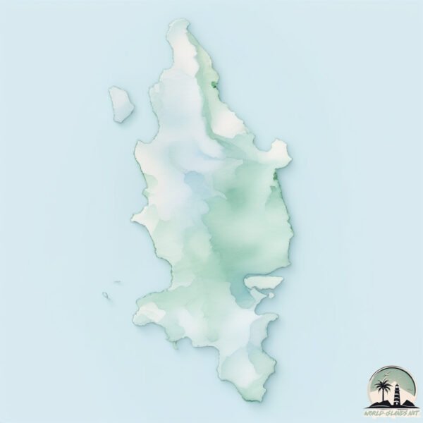
Geography and size of Ko Kut
Size: 112.1 km²
Coastline: 82.5 km
Ocean: Pacific Ocean
Sea: Gulf of Thailand
Continent: Asia
Ko Kut is a Large Island spanning 112 km² with a coastline of 82 km.
Archipel: –
Tectonic Plate: Sunda – Extends across Southeast Asia, encompassing parts of the Sunda Shelf, known for its interaction with the Australian Plate, contributing to volcanic activity in Indonesia.
The geographic heart of the island is pinpointed at these coordinates:
Latitude: 11.65717073 / Longitude: 102.5671691
Climate and weather of Ko Kut
Climate Zone: Tropical
Climate Details: Tropical Monsoon Climate
Temperature: Hot
Climate Characteristics: Characterized by heavy rainfall, high humidity, and uniformly high temperatures, but with a distinct short dry season. It features a seasonal reversal of prevailing wind directions.
Topography and nature of Ko Kut
Timezone: UTC+07:00
Timezone places: Asia/Jakarta
Max. Elevation: 255 m
Mean Elevation: 115 m
Vegetation: Evergreen Broadleaf Forest
Tree Coverage: 79%
The mean elevation is 115 m. The highest elevation on the island reaches approximately 255 meters above sea level. The island is characterized by Hills: Gently sloping landforms with rounded tops, having a maximum elevation between 200 and 500 meters. Hills contribute to a varied landscape on islands.
Dominating Vegetation: Evergreen Broadleaf Forest
Characterized by dense, lush canopies of broadleaf trees that retain their leaves year-round. These forests are typically found in tropical and subtropical regions and are known for their high biodiversity. Ko Kut has a tree cover of 79 %.
Vegetation: 7 vegetation zones – Very Highly Diverse Island
Islands in this range are ecological powerhouses, showcasing a wide array of vegetation zones. Each zone, from lush rainforests to arid scrublands, coastal mangroves to mountainous regions, contributes to a complex and interdependent ecosystem. These islands are often hotspots of biodiversity, supporting numerous species and intricate ecological processes.
Infrastructure and Travelling to Ko Kut
Does the island have a public airport? no.
There is no public and scheduled airport on Ko Kut. The nearest airport is Trat Airport, located 63 km away.
Does the island have a major port? no.
There are no major ports on Ko Kut. The closest major port is KAMPONG SAOM, approximately 144 km away.
The mean population of Ko Kut is 19 per km². Ko Kut is Gently Populated. The island belongs to Thailand.
Continuing your journey, Ko Mak is the next notable island, situated merely km away.
KOH KOOD is Thailand's BEST Paradise Island (MUST VISIT)


Thailand is classified as Emerging region: G20: Group of Twenty – Major economies comprising both developed and emerging countries, representing the world’s largest economies. The level of income is Upper middle income.
News – Latest Updates and Headlines from Ko Kut
Stay informed with the most recent news and important headlines from Ko Kut. Here’s a roundup of the latest developments.
- The Coral Gardeners guide to Koh Mak and Koh Kood - Financial Timeson 12 December 2025
The Coral Gardeners guide to Koh Mak and Koh Kood Financial Times
- 97 passengers rescued after Koh Kood ferry suffers hull breach - Nation Thailandon 20 November 2025
97 passengers rescued after Koh Kood ferry suffers hull breach Nation Thailand
- Tourist Boat Disaster Near Koh Kut: A Terrifying Hull Rupture Sparks Urgent Rescue Operation in Thailand - Travel And Tour Worldon 20 November 2025
Tourist Boat Disaster Near Koh Kut: A Terrifying Hull Rupture Sparks Urgent Rescue Operation in Thailand Travel And Tour World
- Thai Navy Rescues 92 From Damaged Tourist Ferry off Koh Kood - Khaosod Englishon 20 November 2025
Thai Navy Rescues 92 From Damaged Tourist Ferry off Koh Kood Khaosod English
- Koh Mak’s strict local rules shield the island from big investors and foreign encroachment - Nation Thailandon 16 November 2025
Koh Mak’s strict local rules shield the island from big investors and foreign encroachment Nation Thailand
- These 20 Thai Islands Will Change How You Vacation Forever - Travel2Nexton 10 November 2025
These 20 Thai Islands Will Change How You Vacation Forever Travel2Next
- Koh Chang, Thailand: New UK Travel Advisory Affects Koh Chang, What It Means for Your Upcoming Trip - Travel And Tour Worldon 14 October 2025
Koh Chang, Thailand: New UK Travel Advisory Affects Koh Chang, What It Means for Your Upcoming Trip Travel And Tour World
- Ecotourist paradise Ko Kut to deploy Candela hydrofoil electric ferries - Charged EVson 13 October 2025
Ecotourist paradise Ko Kut to deploy Candela hydrofoil electric ferries Charged EVs
- 10 secret Islands in Thailand you’ve probably never heard of - ynetnewson 23 September 2025
10 secret Islands in Thailand you’ve probably never heard of ynetnews
- Plans for 5.2 km road to improve military logistics on Ko Kut, near Thai-Cambodian border - Nation Thailandon 3 July 2025
Plans for 5.2 km road to improve military logistics on Ko Kut, near Thai-Cambodian border Nation Thailand
Please note: The data used here has been primarily extracted from satellite readings. Deviations from exact values may occur, particularly regarding the height of elevations and population density. Land area and coastline measurements refer to average values at mean high tide.