Ko Nang Kham
Welcome to Ko Nang Kham, a Tropical island in the Gulf of Thailand, part of the majestic Pacific Ocean. This guide offers a comprehensive overview of what makes Ko Nang Kham unique – from its geography and climate to its population, infrastructure, and beyond. Dive into the details:
- Geography and Size: Explore the island’s size and location.
- Climate and Weather: Weather patterns and temperature.
- Topography and Nature: Uncover the natural wonders of the island.
- Infrastructure and Travelling: Insights on reaching, staying, and making the most of your visit.
- News and Headlines: Latest News.
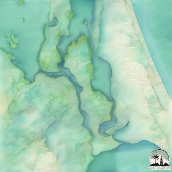
Geography and size of Ko Nang Kham
Size: 54 km²
Coastline: 53.5 km
Ocean: Pacific Ocean
Sea: Gulf of Thailand
Continent: Asia
Ko Nang Kham is a Medium Island spanning 54 km² with a coastline of 53 km.
Archipel: –
Tectonic Plate: North America – Covers North America and parts of the Atlantic and Arctic Oceans, characterized by diverse geological features and varying levels of seismic activity.
The geographic heart of the island is pinpointed at these coordinates:
Latitude: 7.33410341 / Longitude: 100.38916456
Climate and weather of Ko Nang Kham
Climate Zone: Tropical
Climate Details: Tropical Monsoon Climate
Temperature: Hot
Climate Characteristics: Characterized by heavy rainfall, high humidity, and uniformly high temperatures, but with a distinct short dry season. It features a seasonal reversal of prevailing wind directions.
Topography and nature of Ko Nang Kham
Timezone: UTC+07:00
Timezone places: Asia/Jakarta
Max. Elevation: 48 m
Mean Elevation: 8 m
Vegetation: Rice Paddy
Tree Coverage: 36%
The mean elevation is 8 m. The highest elevation on the island reaches approximately 48 meters above sea level. The island is characterized by Plains: Flat, low-lying lands characterized by a maximum elevation of up to 200 meters. On islands, plains are typically coastal lowlands or central flat areas.
Dominating Vegetation: Rice Paddy
Specifically designed for rice cultivation, these fields are flooded with water during the growing season. Paddy fields are a common sight in many parts of Asia. Ko Nang Kham has a tree cover of 36 %.
Vegetation: 10 vegetation zones – Very Highly Diverse Island
Islands in this range are ecological powerhouses, showcasing a wide array of vegetation zones. Each zone, from lush rainforests to arid scrublands, coastal mangroves to mountainous regions, contributes to a complex and interdependent ecosystem. These islands are often hotspots of biodiversity, supporting numerous species and intricate ecological processes.
Infrastructure and Travelling to Ko Nang Kham
Does the island have a public airport? no.
There is no public and scheduled airport on Ko Nang Kham. The nearest airport is Hat Yai International Airport, located 37 km away.
Does the island have a major port? no.
There are no major ports on Ko Nang Kham. The closest major port is SONGKHLA HARBOR, approximately 19 km away.
The mean population of Ko Nang Kham is 151 per km². Ko Nang Kham is Moderately Inhabited. The island belongs to Thailand.
Continuing your journey, Ko Mak is the next notable island, situated merely km away.
Koh Kham 🏝️🌴🌞 #KohKham #TropicalRetreat #IslandParadise #LuxuryTravel


Thailand is classified as Emerging region: G20: Group of Twenty – Major economies comprising both developed and emerging countries, representing the world’s largest economies. The level of income is Upper middle income.
News – Latest Updates and Headlines from Ko Nang Kham
Stay informed with the most recent news and important headlines from Ko Nang Kham. Here’s a roundup of the latest developments.
Please note: The data used here has been primarily extracted from satellite readings. Deviations from exact values may occur, particularly regarding the height of elevations and population density. Land area and coastline measurements refer to average values at mean high tide.