Mashabi
Welcome to Mashabi, a Dry island in the Red Sea, part of the majestic Indian Ocean. This guide offers a comprehensive overview of what makes Mashabi unique – from its geography and climate to its population, infrastructure, and beyond. Dive into the details:
- Geography and Size: Explore the island’s size and location.
- Climate and Weather: Weather patterns and temperature.
- Topography and Nature: Uncover the natural wonders of the island.
- Infrastructure and Travelling: Insights on reaching, staying, and making the most of your visit.
- News and Headlines: Latest News.
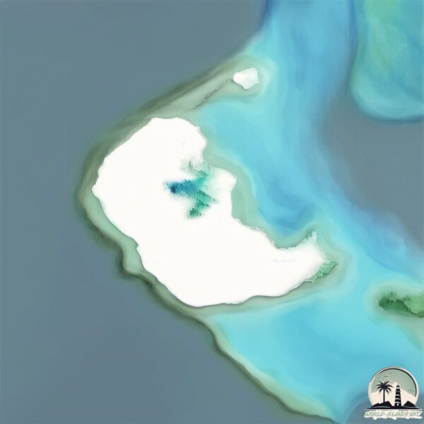
Geography and size of Mashabi
Size: 19 km²
Coastline: 21.2 km
Ocean: Indian Ocean
Sea: Red Sea
Continent: Asia
Mashabi is a Medium Island spanning 19 km² with a coastline of 21 km.
Archipel: –
Tectonic Plate: Arabia – A major tectonic plate covering the Arabian Peninsula and parts of the Middle East. The plate is primarily continental and known for its collision with the Eurasian Plate, leading to the uplift of the Zagros Mountains.
The geographic heart of the island is pinpointed at these coordinates:
Latitude: 25.63559718 / Longitude: 36.51026209
Climate and weather of Mashabi
Climate Zone: Dry
Climate Details: Hot Deserts Climate
Temperature: Hot
Climate Characteristics: Dominated by extremely hot temperatures, this climate is marked by minimal rainfall and barren landscapes. Nights often experience drastic temperature drops.
Topography and nature of Mashabi
Timezone: UTC+03:00
Timezone places: Asia/Riyadh
Max. Elevation: 4 m
Mean Elevation: 0 m
Vegetation: Sparse Vegetation
Tree Coverage: 1%
The mean elevation is 0 m. The highest elevation on the island reaches approximately 4 meters above sea level. The island is characterized by Plains: Flat, low-lying lands characterized by a maximum elevation of up to 200 meters. On islands, plains are typically coastal lowlands or central flat areas.
Dominating Vegetation: Sparse Vegetation
These regions have limited plant growth, typically due to extreme conditions like aridity or poor soils. Vegetation is scattered and consists of hardy plant species. Mashabi has a tree cover of 1 %.
Vegetation: 4 vegetation zones – Diverse Island
Four distinct vegetation zones mark these islands as ecologically diverse. They might feature varied landscapes such as forests, beaches, grasslands, and rocky areas. Such diversity reflects the island’s complex ecological interactions and varied habitats, which can support a rich array of wildlife and plant species.
Infrastructure and Travelling to Mashabi
Does the island have a public airport? no.
There is no public and scheduled airport on Mashabi. The nearest airport is Al Wajh Domestic Airport, located 60 km away.
Does the island have a major port? no.
There are no major ports on Mashabi. The closest major port is DUBA BULK PLANT TANKER TERMINAL, approximately 195 km away.
The mean population of Mashabi is 8 per km². Mashabi is Gently Populated. The island belongs to Saudi Arabia.
Continuing your journey, Umm Urumah is the next notable island, situated merely km away.
Masha and the Bear real house in 🇦🇿 #shorts #masha #trending #mashandbear #fyp #comment #like #🫶


Saudi Arabia is classified as Developed region: nonG7: Developed economies outside of the Group of Seven, characterized by high income and advanced economic structures. The level of income is High income: nonOECD.
News – Latest Updates and Headlines from Mashabi
Stay informed with the most recent news and important headlines from Mashabi. Here’s a roundup of the latest developments.
Please note: The data used here has been primarily extracted from satellite readings. Deviations from exact values may occur, particularly regarding the height of elevations and population density. Land area and coastline measurements refer to average values at mean high tide.