Mideyo
Welcome to Mideyo, a Temperate island in the Norwegian Sea, part of the majestic Arctic Ocean. This guide offers a comprehensive overview of what makes Mideyo unique – from its geography and climate to its population, infrastructure, and beyond. Dive into the details:
- Geography and Size: Explore the island’s size and location.
- Climate and Weather: Weather patterns and temperature.
- Topography and Nature: Uncover the natural wonders of the island.
- Infrastructure and Travelling: Insights on reaching, staying, and making the most of your visit.
- News and Headlines: Latest News.
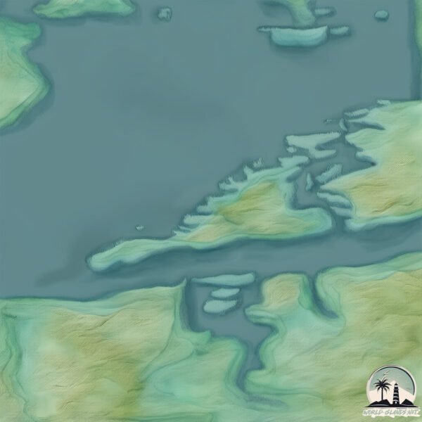
Geography and size of Mideyo
Size: 16.4 km²
Coastline: 33.6 km
Ocean: Arctic Ocean
Sea: Norwegian Sea
Continent: Europe
Mideyo is a Medium Island spanning 16 km² with a coastline of 34 km.
Archipel: –
Tectonic Plate: Eurasia – One of the world’s largest tectonic plates, the Eurasian Plate covers a significant portion of Europe and Asia. It’s characterized by diverse geological features, including the Ural Mountains, the European Plain, and the Himalayas formed from its collision with the Indian Plate.
The geographic heart of the island is pinpointed at these coordinates:
Latitude: 62.66828485 / Longitude: 6.60804414
Climate and weather of Mideyo
Climate Zone: Temperate
Climate Details: Temperate Oceanic Climate
Temperature: Warm Summer
Climate Characteristics: Known for its moderate year-round temperatures with ample rainfall and no dry season. Warm summers are characteristic.
Topography and nature of Mideyo
Timezone: UTC+01:00
Timezone places: Europe/Paris
Max. Elevation: 427 m
Mean Elevation: 145 m
Vegetation: Evergreen Broadleaf Forest
Tree Coverage: 85%
The mean elevation is 145 m. The highest elevation on the island reaches approximately 427 meters above sea level. The island is characterized by Hills: Gently sloping landforms with rounded tops, having a maximum elevation between 200 and 500 meters. Hills contribute to a varied landscape on islands.
Dominating Vegetation: Evergreen Broadleaf Forest
Characterized by dense, lush canopies of broadleaf trees that retain their leaves year-round. These forests are typically found in tropical and subtropical regions and are known for their high biodiversity. Mideyo has a tree cover of 85 %.
Vegetation: 8 vegetation zones – Very Highly Diverse Island
Islands in this range are ecological powerhouses, showcasing a wide array of vegetation zones. Each zone, from lush rainforests to arid scrublands, coastal mangroves to mountainous regions, contributes to a complex and interdependent ecosystem. These islands are often hotspots of biodiversity, supporting numerous species and intricate ecological processes.
Infrastructure and Travelling to Mideyo
Does the island have a public airport? no.
There is no public and scheduled airport on Mideyo. The nearest airport is Ålesund Airport, Vigra, located 45 km away.
Does the island have a major port? no.
There are no major ports on Mideyo. The closest major port is BUD, approximately 37 km away.
The mean population of Mideyo is 20 per km². Mideyo is Gently Populated. The island belongs to Norway.
Continuing your journey, Haroya is the next notable island, situated merely km away.
1986: ILE MOYENNE - Grimshaw's Private Island | Pebble Mill | Weird and Wonderful | BBC Archive


Norway is classified as Developed region: nonG7: Developed economies outside of the Group of Seven, characterized by high income and advanced economic structures. The level of income is High income: OECD.
News – Latest Updates and Headlines from Mideyo
Stay informed with the most recent news and important headlines from Mideyo. Here’s a roundup of the latest developments.
Please note: The data used here has been primarily extracted from satellite readings. Deviations from exact values may occur, particularly regarding the height of elevations and population density. Land area and coastline measurements refer to average values at mean high tide.