Miyake Jima
Welcome to Miyake Jima, a Temperate island in the Philippine Sea, part of the majestic Pacific Ocean. This guide offers a comprehensive overview of what makes Miyake Jima unique – from its geography and climate to its population, infrastructure, and beyond. Dive into the details:
- Geography and Size: Explore the island’s size and location.
- Climate and Weather: Weather patterns and temperature.
- Topography and Nature: Uncover the natural wonders of the island.
- Infrastructure and Travelling: Insights on reaching, staying, and making the most of your visit.
- News and Headlines: Latest News.
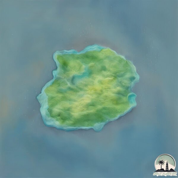
Geography and size of Miyake Jima
Size: 55.1 km²
Coastline: 39.4 km
Ocean: Pacific Ocean
Sea: Philippine Sea
Continent: Asia
Miyake Jima is a Medium Island spanning 55 km² with a coastline of 39 km.
Archipel: Nanpō Islands – An extension of the Japanese archipelago into the Pacific Ocean, known for their scenic beauty and diverse marine life.
Tectonic Plate: Amur – A minor tectonic plate in the region of the Amur River at the border of Russia and China, involved in complex interactions with the Pacific and Eurasian plates.
The geographic heart of the island is pinpointed at these coordinates:
Latitude: 34.08487773 / Longitude: 139.52095164
Climate and weather of Miyake Jima
Climate Zone: Temperate
Climate Details: Humid Subtropical Climate
Temperature: Hot Summer
Climate Characteristics: With continuous rainfall and hot summers, this climate is common in some coastal regions, supporting diverse vegetation.
Topography and nature of Miyake Jima
Timezone: UTC+09:00
Timezone places: Asia/Tokyo
Max. Elevation: 726 m
Mean Elevation: 252 m
Vegetation: Evergreen Needleleaf Forest
Tree Coverage: 54%
The mean elevation is 252 m. The highest elevation on the island reaches approximately 726 meters above sea level. The island is characterized by Plateau: Elevated flatlands rising sharply above the surrounding area, with a maximum elevation over 500 meters but a mean elevation less than 300 meters, forming unique highland areas on islands.
Dominating Vegetation: Evergreen Needleleaf Forest
Dominated by evergreen coniferous trees such as pines and firs, which retain their needle-like leaves throughout the year. These forests are often found in cooler climates. Miyake Jima has a tree cover of 54 %.
Vegetation: 11 vegetation zones – Exceptionally Diverse Island
Islands with more than ten vegetation zones are among the most ecologically rich and varied in the world. These islands are akin to miniature continents, boasting an incredible array of ecosystems. The sheer range of habitats, from high peaks to deep valleys, rainforests to deserts, creates a mosaic of life that is unparalleled. They are crucial for conservation and ecological studies.
Infrastructure and Travelling to Miyake Jima
Does the island have a public airport? yes.
Miyake Jima has a public and scheduled airport. The following airports are located on this island: Miyakejima Airport.
Does the island have a major port? no.
There are no major ports on Miyake Jima. The closest major port is SHIMODA KO, approximately 86 km away.
The mean population of Miyake Jima is 52 per km². Miyake Jima is Gently Populated. The island belongs to Japan.
Continuing your journey, Mikura-jima is the next notable island, situated merely km away.
Miyake-Jima: The Gas Mask Island


Japan is classified as Developed region: G7: Group of Seven – Major advanced economies, including Canada, France, Germany, Italy, Japan, the United Kingdom, and the United States. The level of income is High income: OECD.
News – Latest Updates and Headlines from Miyake Jima
Stay informed with the most recent news and important headlines from Miyake Jima. Here’s a roundup of the latest developments.
Please note: The data used here has been primarily extracted from satellite readings. Deviations from exact values may occur, particularly regarding the height of elevations and population density. Land area and coastline measurements refer to average values at mean high tide.