Moores Island
Welcome to Moores Island, a Polar island in the Labrador Sea, part of the majestic Atlantic Ocean. This guide offers a comprehensive overview of what makes Moores Island unique – from its geography and climate to its population, infrastructure, and beyond. Dive into the details:
- Geography and Size: Explore the island’s size and location.
- Climate and Weather: Weather patterns and temperature.
- Topography and Nature: Uncover the natural wonders of the island.
- Infrastructure and Travelling: Insights on reaching, staying, and making the most of your visit.
- News and Headlines: Latest News.
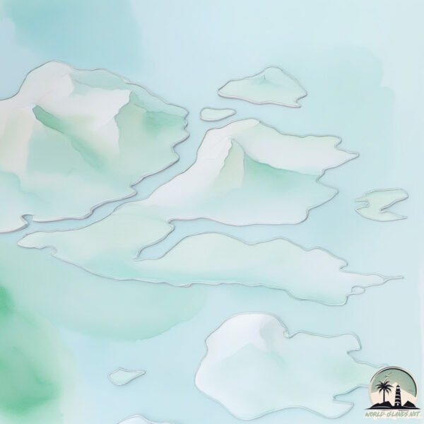
Geography and size of Moores Island
Size: 136.8 km²
Coastline: 117.4 km
Ocean: Atlantic Ocean
Sea: Labrador Sea
Continent: North America
Moores Island is a Large Island spanning 137 km² with a coastline of 117 km.
Archipel: –
Tectonic Plate: North America – Covers North America and parts of the Atlantic and Arctic Oceans, characterized by diverse geological features and varying levels of seismic activity.
The geographic heart of the island is pinpointed at these coordinates:
Latitude: 57.4589713 / Longitude: -61.75113315
Climate and weather of Moores Island
Climate Zone: Polar
Climate Details: Tundra
Temperature: Cold
Climate Characteristics: The tundra climate features long, extremely cold winters and short, cool summers. Vegetation is limited to mosses, lichens, and small shrubs due to the low temperatures and short growing seasons. Biodiversity is low, but some specialized species thrive.
Topography and nature of Moores Island
Timezone: UTC-04:00
Timezone places: America/La_Paz
Max. Elevation: 338 m
Mean Elevation: 107 m
Vegetation: Herbaceous Cover
Tree Coverage: 9%
The mean elevation is 107 m. The highest elevation on the island reaches approximately 338 meters above sea level. The island is characterized by Hills: Gently sloping landforms with rounded tops, having a maximum elevation between 200 and 500 meters. Hills contribute to a varied landscape on islands.
Dominating Vegetation: Herbaceous Cover
Comprising mainly of grasses, herbs, and ferns, these areas are common in prairies, meadows, and savannas, and can vary widely in species composition. Moores Island has a tree cover of 9 %.
Vegetation: 7 vegetation zones – Very Highly Diverse Island
Islands in this range are ecological powerhouses, showcasing a wide array of vegetation zones. Each zone, from lush rainforests to arid scrublands, coastal mangroves to mountainous regions, contributes to a complex and interdependent ecosystem. These islands are often hotspots of biodiversity, supporting numerous species and intricate ecological processes.
Infrastructure and Travelling to Moores Island
Does the island have a public airport? no.
There is no public and scheduled airport on Moores Island. The nearest airport is Nain Airport, located 93 km away.
Does the island have a major port? no.
There are no major ports on Moores Island. The closest major port is GOOSE BAY, approximately 471 km away.
The mean population of Moores Island is 0 per km². Moores Island is Uninhabited. The island belongs to Canada.
The name of the island resonates across different cultures and languages. Here is how it is known around the world: Arabic: لبرادور; German: Labrador; Spanish: Labrador; French: Labrador; Portuguese: Labrador; Russian: Лабрадор; Chinese: 拉布拉多
Continuing your journey, Iglusuaktalialuk Island is the next notable island, situated merely km away.
TRANSFORMATION TO MOORES ISLAND


Canada is classified as Developed region: G7: Group of Seven – Major advanced economies, including Canada, France, Germany, Italy, Japan, the United Kingdom, and the United States. The level of income is High income: OECD.
News – Latest Updates and Headlines from Moores Island
Stay informed with the most recent news and important headlines from Moores Island. Here’s a roundup of the latest developments.
Please note: The data used here has been primarily extracted from satellite readings. Deviations from exact values may occur, particularly regarding the height of elevations and population density. Land area and coastline measurements refer to average values at mean high tide.