
Morotai
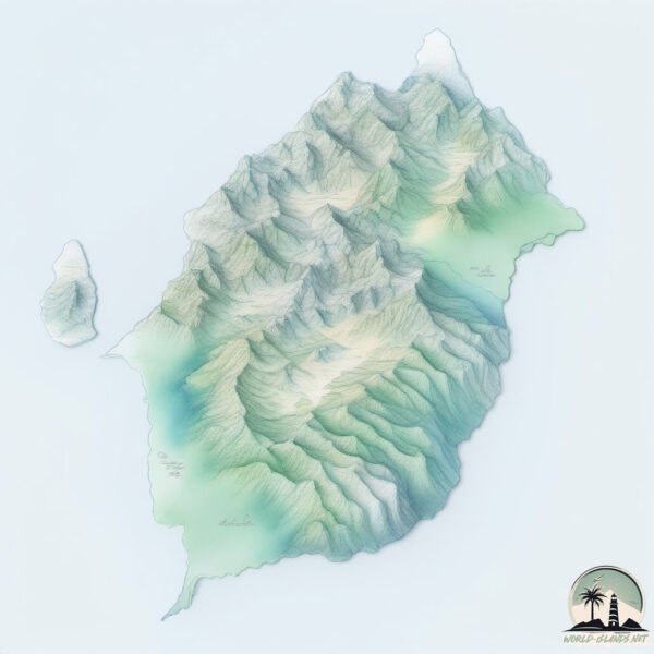
Welcome to Morotai, a Tropical island in the Molukka Sea, part of the majestic Pacific Ocean. This guide offers a comprehensive overview of what makes Morotai unique – from its geography and climate to its population, infrastructure, and beyond. Dive into the details:
- Geography and Size: Explore the island’s size and location.
- Climate and Weather: Weather patterns and temperature.
- Topography and Nature: Uncover the natural wonders of the island.
- Infrastructure and Travelling: Insights on reaching, staying, and making the most of your visit.
- News and Headlines: Latest News.
Geography and size of Morotai
Size: 2291 km²
Coastline: 263 km
Ocean: Pacific Ocean
Sea: Molukka Sea
Continent: Oceania
Morotai is a Very Large Island spanning 2291 km² with a coastline of 263 km.
Archipel: Melanesia – A subregion of Oceania in the southwestern Pacific Ocean, including countries like Fiji, Solomon Islands, and Vanuatu, known for their diverse cultures and languages.
Tectonic Plate: Sunda – Extends across Southeast Asia, encompassing parts of the Sunda Shelf, known for its interaction with the Australian Plate, contributing to volcanic activity in Indonesia.
The geographic heart of the island is pinpointed at these coordinates:
Latitude: 2.31652622 / Longitude: 128.45695795
Climate and weather of Morotai
Climate Zone: Tropical
Climate Details: Tropical Rainforest Climate
Temperature: Hot
Climate Characteristics: This climate is typified by heavy rainfall throughout the year, high humidity, and consistently high temperatures, leading to lush rainforests and rich biodiversity. Seasonal temperature variations are minimal.
Topography and nature of Morotai
Timezone: UTC+09:00
Timezone places: Asia/Tokyo
Max. Elevation: 1143 m
Mean Elevation: 284 m
Vegetation: Evergreen Broadleaf Forest
Tree Coverage: 75%
The mean elevation is 284 m. The highest elevation on the island reaches approximately 1143 meters above sea level. The island is characterized by Plateau: Elevated flatlands rising sharply above the surrounding area, with a maximum elevation over 500 meters but a mean elevation less than 300 meters, forming unique highland areas on islands.
Dominating Vegetation: Evergreen Broadleaf Forest
Characterized by dense, lush canopies of broadleaf trees that retain their leaves year-round. These forests are typically found in tropical and subtropical regions and are known for their high biodiversity. Morotai has a tree cover of 75 %.
Vegetation: 11 vegetation zones – Exceptionally Diverse Island
Islands with more than ten vegetation zones are among the most ecologically rich and varied in the world. These islands are akin to miniature continents, boasting an incredible array of ecosystems. The sheer range of habitats, from high peaks to deep valleys, rainforests to deserts, creates a mosaic of life that is unparalleled. They are crucial for conservation and ecological studies.
Infrastructure and Travelling to Morotai
Does the island have a public airport? no.
There is no public and scheduled airport on Morotai. The nearest airport is Buli Airport, located 119 km away.
Does the island have a major port? no.
There are no major ports on Morotai. The closest major port is TERNATE, approximately 165 km away.
The mean population of Morotai is 38 per km². Morotai is Gently Populated. The island belongs to Indonesia.
The name of the island resonates across different cultures and languages. Here is how it is known around the world: Arabic: هالماهيرا; German: Halmahera; Spanish: Halmahera; French: Halmahera; Portuguese: Halmaera; Russian: Хальмахера; Chinese: 哈马黑拉岛
Continuing your journey, Pulau Rau is the next notable island, situated merely km away.
Indonesia is classified as Emerging region: MIKT: Mexico, Indonesia, South Korea, and Turkey – Economies recognized for their development potential and emerging market status. The level of income is Lower middle income.
News – Latest Updates and Headlines from Morotai
Stay informed with the most recent news and important headlines from Morotai. Here’s a roundup of the latest developments.
- Light mag. 3.0 earthquake - Kabupaten Pulau Morotai, 26 km northeast of Tobelo, Indonesia, on Thursday, Oct 15, 2026, at 06:23 am (GMT +9) - Volcano Discoveryon 14 October 2026
Light mag. 3.0 earthquake - Kabupaten Pulau Morotai, 26 km northeast of Tobelo, Indonesia, on Thursday, Oct 15, 2026, at 06:23 am (GMT +9) Volcano Discovery
- Light mag. 3.8 earthquake - 53 km northeast of Daruba, Kabupaten Pulau Morotai, North Maluku, Indonesia, on Thursday, Oct 15, 2026, at 06:26 am (GMT +9) - Volcano Discoveryon 14 October 2026
Light mag. 3.8 earthquake - 53 km northeast of Daruba, Kabupaten Pulau Morotai, North Maluku, Indonesia, on Thursday, Oct 15, 2026, at 06:26 am (GMT +9) Volcano Discovery
- Indonesian training facility to bolster regional defense architecture - Indo-Pacific Defense FORUMon 28 April 2026
Indonesian training facility to bolster regional defense architecture Indo-Pacific Defense FORUM
- North Halmahera Has Got to Be Your Next Dive Destination - Diverneton 24 April 2026
North Halmahera Has Got to Be Your Next Dive Destination Divernet
- Indonesia Plans International Military Training Facility in Morotai - Jakarta Globeon 12 March 2026
Indonesia Plans International Military Training Facility in Morotai Jakarta Globe
- Indonesia, Australia to expand security cooperation with Japan, PNG - Al Jazeeraon 12 March 2026
Indonesia, Australia to expand security cooperation with Japan, PNG Al Jazeera
- Indonesia and Australia to expand security cooperation to include Japan, Papua New Guinea - Reuterson 12 March 2026
Indonesia and Australia to expand security cooperation to include Japan, Papua New Guinea Reuters
- Indonesia Floats International Military Training Facility in Morotai - Tempo.co Englishon 12 March 2026
Indonesia Floats International Military Training Facility in Morotai Tempo.co English
- Australia to turn WWII site on ‘valuable’ Indonesian island into training base - The Ageon 12 March 2026
Australia to turn WWII site on ‘valuable’ Indonesian island into training base The Age
- KKN-PPM UGM and Morotai Community Hold Rao Rayo Cultural Festival - Universitas Gadjah Madaon 26 February 2026
KKN-PPM UGM and Morotai Community Hold Rao Rayo Cultural Festival Universitas Gadjah Mada
Social Media Posts about Morotai

Please note: The data used here has been primarily extracted from satellite readings. Deviations from exact values may occur, particularly regarding the height of elevations and population density. Land area and coastline measurements refer to average values at mean high tide.