Tanega Shima
Welcome to Tanega Shima, a Temperate island in the Eastern China Sea, part of the majestic Pacific Ocean. This guide offers a comprehensive overview of what makes Tanega Shima unique – from its geography and climate to its population, infrastructure, and beyond. Dive into the details:
- Geography and Size: Explore the island’s size and location.
- Climate and Weather: Weather patterns and temperature.
- Topography and Nature: Uncover the natural wonders of the island.
- Infrastructure and Travelling: Insights on reaching, staying, and making the most of your visit.
- News and Headlines: Latest News.
Geography and size of Tanega Shima
Size: 447 km²
Coastline: 174.5 km
Ocean: Pacific Ocean
Sea: Eastern China Sea
Continent: Asia
Tanega Shima is a Large Island spanning 447 km² with a coastline of 175 km.
Archipel: Ryukyu Islands – A chain of Japanese islands stretching southwest from Kyushu to Taiwan, known for their unique Okinawan culture and subtropical climate.
Tectonic Plate: Okinawa – Located in the East China Sea, near the Ryukyu Islands and Taiwan, it’s involved in the subduction zone between the Philippine Sea Plate and the Eurasian Plate.
The geographic heart of the island is pinpointed at these coordinates:
Latitude: 30.5806434 / Longitude: 130.97485865
Climate and weather of Tanega Shima
Climate Zone: Temperate
Climate Details: Humid Subtropical Climate
Temperature: Hot Summer
Climate Characteristics: With continuous rainfall and hot summers, this climate is common in some coastal regions, supporting diverse vegetation.
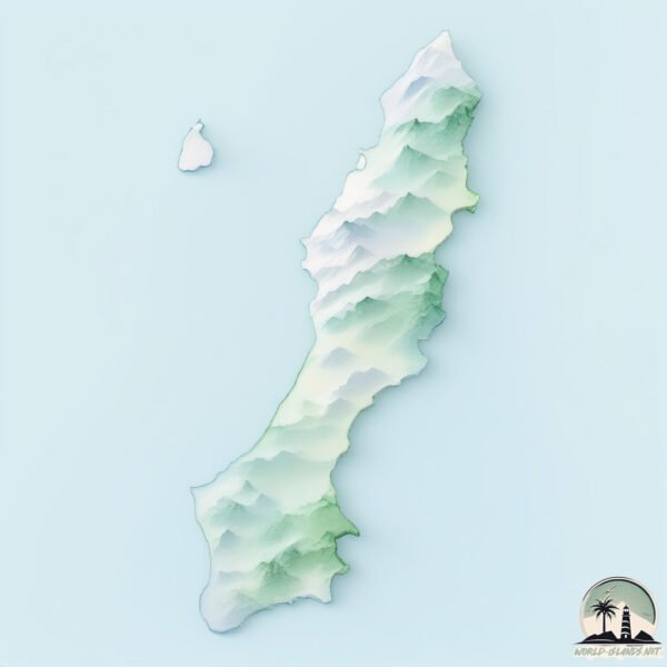
Topography and nature of Tanega Shima
Timezone: UTC+09:00
Timezone places: Asia/Tokyo
Max. Elevation: 258 m
Mean Elevation: 95 m
Vegetation: Evergreen Broadleaf Forest
Tree Coverage: 61%
The mean elevation is 95 m. The highest elevation on the island reaches approximately 258 meters above sea level. The island is characterized by Hills: Gently sloping landforms with rounded tops, having a maximum elevation between 200 and 500 meters. Hills contribute to a varied landscape on islands.
Dominating Vegetation: Evergreen Broadleaf Forest
Characterized by dense, lush canopies of broadleaf trees that retain their leaves year-round. These forests are typically found in tropical and subtropical regions and are known for their high biodiversity. Tanega Shima has a tree cover of 61 %.
Vegetation: 12 vegetation zones – Exceptionally Diverse Island
Islands with more than ten vegetation zones are among the most ecologically rich and varied in the world. These islands are akin to miniature continents, boasting an incredible array of ecosystems. The sheer range of habitats, from high peaks to deep valleys, rainforests to deserts, creates a mosaic of life that is unparalleled. They are crucial for conservation and ecological studies.
Infrastructure and Travelling to Tanega Shima
Does the island have a public airport? yes.
Tanega Shima has a public and scheduled airport. The following airports are located on this island: New Tanegashima Airport.
Does the island have a major port? no.
There are no major ports on Tanega Shima. The closest major port is SHIBUSHI WAN, approximately 70 km away.
The mean population of Tanega Shima is 66 per km². Tanega Shima is Gently Populated. The island belongs to Japan.
Continuing your journey, Yakushima is the next notable island, situated merely km away.
334 Tanegashima Island in Kagoshima Prefecture / Travels of Scenic Japan / Tabiator


Japan is classified as Developed region: G7: Group of Seven – Major advanced economies, including Canada, France, Germany, Italy, Japan, the United Kingdom, and the United States. The level of income is High income: OECD.
News – Latest Updates and Headlines from Tanega Shima
Stay informed with the most recent news and important headlines from Tanega Shima. Here’s a roundup of the latest developments.
Please note: The data used here has been primarily extracted from satellite readings. Deviations from exact values may occur, particularly regarding the height of elevations and population density. Land area and coastline measurements refer to average values at mean high tide.