Yangdo
Welcome to Yangdo, a Temperate island in the Japan Sea, part of the majestic Pacific Ocean. This guide offers a comprehensive overview of what makes Yangdo unique – from its geography and climate to its population, infrastructure, and beyond. Dive into the details:
- Geography and Size: Explore the island’s size and location.
- Climate and Weather: Weather patterns and temperature.
- Topography and Nature: Uncover the natural wonders of the island.
- Infrastructure and Travelling: Insights on reaching, staying, and making the most of your visit.
- News and Headlines: Latest News.
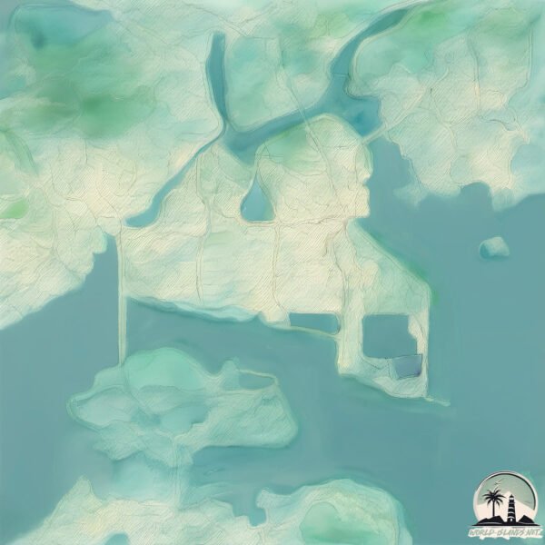
Geography and size of Yangdo
Size: 22.6 km²
Coastline: 41.1 km
Ocean: Pacific Ocean
Sea: Japan Sea
Continent: Asia
Yangdo is a Medium Island spanning 23 km² with a coastline of 41 km.
Archipel: –
Tectonic Plate: Amur – A minor tectonic plate in the region of the Amur River at the border of Russia and China, involved in complex interactions with the Pacific and Eurasian plates.
The geographic heart of the island is pinpointed at these coordinates:
Latitude: 34.92022022 / Longitude: 127.74276144
Climate and weather of Yangdo
Climate Zone: Temperate
Climate Details: Monsoon-Influenced Humid Subtropical Climate
Temperature: Hot Summer
Climate Characteristics: Known for hot, humid summers with significant monsoon rains, contrasted by mild, drier winters.
Topography and nature of Yangdo
Timezone: UTC+09:00
Timezone places: Asia/Tokyo
Max. Elevation: 19 m
Mean Elevation: 7 m
Vegetation: Sparse Vegetation
Tree Coverage: 60%
The mean elevation is 7 m. The highest elevation on the island reaches approximately 19 meters above sea level. The island is characterized by Plains: Flat, low-lying lands characterized by a maximum elevation of up to 200 meters. On islands, plains are typically coastal lowlands or central flat areas.
Dominating Vegetation: Sparse Vegetation
These regions have limited plant growth, typically due to extreme conditions like aridity or poor soils. Vegetation is scattered and consists of hardy plant species. Yangdo has a tree cover of 60 %.
Vegetation: 11 vegetation zones – Exceptionally Diverse Island
Islands with more than ten vegetation zones are among the most ecologically rich and varied in the world. These islands are akin to miniature continents, boasting an incredible array of ecosystems. The sheer range of habitats, from high peaks to deep valleys, rainforests to deserts, creates a mosaic of life that is unparalleled. They are crucial for conservation and ecological studies.
Infrastructure and Travelling to Yangdo
Does the island have a public airport? no.
There is no public and scheduled airport on Yangdo. The nearest airport is Yeosu Airport, located 12 km away.
Does the island have a major port? no.
There are no major ports on Yangdo. The closest major port is GWANGYANG HANG, approximately 4 km away.
The mean population of Yangdo is 318 per km². Yangdo is Moderately Inhabited. The island belongs to South Korea.
Continuing your journey, Myodo is the next notable island, situated merely km away.
북한 주민들 수만명피해! 양강도 난리났다!


South Korea is classified as Emerging region: MIKT: Mexico, Indonesia, South Korea, and Turkey – Economies recognized for their development potential and emerging market status. The level of income is High income: OECD.
News – Latest Updates and Headlines from Yangdo
Stay informed with the most recent news and important headlines from Yangdo. Here’s a roundup of the latest developments.
Please note: The data used here has been primarily extracted from satellite readings. Deviations from exact values may occur, particularly regarding the height of elevations and population density. Land area and coastline measurements refer to average values at mean high tide.