Allen Island
Welcome to Allen Island, a Polar island in the Davis Strait, part of the majestic Arctic Ocean. This guide offers a comprehensive overview of what makes Allen Island unique – from its geography and climate to its population, infrastructure, and beyond. Dive into the details:
- Geography and Size: Explore the island’s size and location.
- Climate and Weather: Weather patterns and temperature.
- Topography and Nature: Uncover the natural wonders of the island.
- Infrastructure and Travelling: Insights on reaching, staying, and making the most of your visit.
- News and Headlines: Latest News.
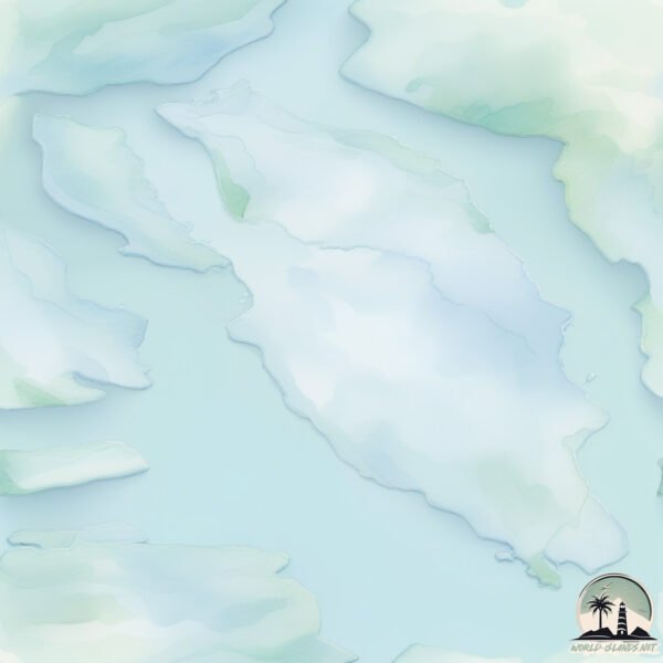
Geography and size of Allen Island
Size: 104.4 km²
Coastline: 86.2 km
Ocean: Arctic Ocean
Sea: Davis Strait
Continent: North America
Allen Island is a Large Island spanning 104 km² with a coastline of 86 km.
Archipel: Canadian Arctic Archipelago – A vast and remote region in northern Canada, consisting of a series of large and small islands known for their extreme Arctic environment and unique wildlife.
Tectonic Plate: North America – Covers North America and parts of the Atlantic and Arctic Oceans, characterized by diverse geological features and varying levels of seismic activity.
The geographic heart of the island is pinpointed at these coordinates:
Latitude: 63.482073 / Longitude: -64.92027578
Climate and weather of Allen Island
Climate Zone: Polar
Climate Details: Tundra
Temperature: Cold
Climate Characteristics: The tundra climate features long, extremely cold winters and short, cool summers. Vegetation is limited to mosses, lichens, and small shrubs due to the low temperatures and short growing seasons. Biodiversity is low, but some specialized species thrive.
Topography and nature of Allen Island
Timezone: UTC-05:00
Timezone places: America/New_York
Max. Elevation: 570 m
Mean Elevation: 266 m
Vegetation: Sparse Vegetation
Tree Coverage: 6%
The mean elevation is 266 m. The highest elevation on the island reaches approximately 570 meters above sea level. The island is characterized by Plateau: Elevated flatlands rising sharply above the surrounding area, with a maximum elevation over 500 meters but a mean elevation less than 300 meters, forming unique highland areas on islands.
Dominating Vegetation: Sparse Vegetation
These regions have limited plant growth, typically due to extreme conditions like aridity or poor soils. Vegetation is scattered and consists of hardy plant species. Allen Island has a tree cover of 6 %.
Vegetation: 4 vegetation zones – Diverse Island
Four distinct vegetation zones mark these islands as ecologically diverse. They might feature varied landscapes such as forests, beaches, grasslands, and rocky areas. Such diversity reflects the island’s complex ecological interactions and varied habitats, which can support a rich array of wildlife and plant species.
Infrastructure and Travelling to Allen Island
Does the island have a public airport? no.
There is no public and scheduled airport on Allen Island. The nearest airport is Pangnirtung Airport, located 297 km away.
Does the island have a major port? no.
There are no major ports on Allen Island. The closest major port is PANGNIRTUNG, approximately 297 km away.
The mean population of Allen Island is 0 per km². Allen Island is Uninhabited. The island belongs to Canada.
The name of the island resonates across different cultures and languages. Here is how it is known around the world: Arabic: بافين; German: Baffininsel; Spanish: Isla de Baffin; French: Île de Baffin; Portuguese: Ilha de Baffin; Russian: Баффинова Земля; Chinese: 巴芬島
Continuing your journey, Brevoort Island is the next notable island, situated merely km away.
Ugly Boy Becomes Handsome Overnight | Alan’s Universe


Canada is classified as Developed region: G7: Group of Seven – Major advanced economies, including Canada, France, Germany, Italy, Japan, the United Kingdom, and the United States. The level of income is High income: OECD.
News – Latest Updates and Headlines from Allen Island
Stay informed with the most recent news and important headlines from Allen Island. Here’s a roundup of the latest developments.
Please note: The data used here has been primarily extracted from satellite readings. Deviations from exact values may occur, particularly regarding the height of elevations and population density. Land area and coastline measurements refer to average values at mean high tide.