Alligator
Welcome to Alligator, a Tropical island in the Gulf of Guinea, part of the majestic Atlantic Ocean. This guide offers a comprehensive overview of what makes Alligator unique – from its geography and climate to its population, infrastructure, and beyond. Dive into the details:
- Geography and Size: Explore the island’s size and location.
- Climate and Weather: Weather patterns and temperature.
- Topography and Nature: Uncover the natural wonders of the island.
- Infrastructure and Travelling: Insights on reaching, staying, and making the most of your visit.
- News and Headlines: Latest News.
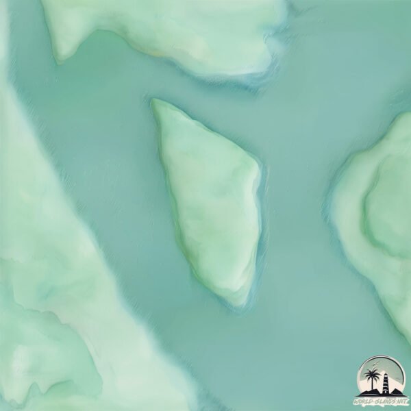
Geography and size of Alligator
Size: 2.544 km²
Coastline: 7.4 km
Ocean: Atlantic Ocean
Sea: Gulf of Guinea
Continent: Africa
Alligator is a Small Island spanning 2.5 km² with a coastline of 7.4 km.
Archipel: –
Tectonic Plate: Africa – One of the world’s largest tectonic plates, covering the African continent and parts of the surrounding oceans, known for its stability with some active rift zones.
The geographic heart of the island is pinpointed at these coordinates:
Latitude: 4.89963312 / Longitude: 8.25269542
Climate and weather of Alligator
Climate Zone: Tropical
Climate Details: Tropical Monsoon Climate
Temperature: Hot
Climate Characteristics: Characterized by heavy rainfall, high humidity, and uniformly high temperatures, but with a distinct short dry season. It features a seasonal reversal of prevailing wind directions.
Topography and nature of Alligator
Timezone: UTC+01:00
Timezone places: Europe/Paris
Max. Elevation: 8 m
Mean Elevation: 7 m
Vegetation: Wetland
Tree Coverage: 79%
The mean elevation is 7 m. The highest elevation on the island reaches approximately 8 meters above sea level. The island is characterized by Plains: Flat, low-lying lands characterized by a maximum elevation of up to 200 meters. On islands, plains are typically coastal lowlands or central flat areas.
Dominating Vegetation: Wetland
These areas are saturated with water, either permanently or seasonally, and support aquatic plants. Wetlands are important for biodiversity and water filtration. Alligator has a tree cover of 79 %.
Vegetation: 6 vegetation zones – Very Highly Diverse Island
Islands in this range are ecological powerhouses, showcasing a wide array of vegetation zones. Each zone, from lush rainforests to arid scrublands, coastal mangroves to mountainous regions, contributes to a complex and interdependent ecosystem. These islands are often hotspots of biodiversity, supporting numerous species and intricate ecological processes.
Infrastructure and Travelling to Alligator
Does the island have a public airport? no.
There is no public and scheduled airport on Alligator. The nearest airport is Margaret Ekpo International Airport, located 13 km away.
Does the island have a major port? no.
There are no major ports on Alligator. The closest major port is CALABAR, approximately 9 km away.
The mean population of Alligator is 3193 per km². Alligator is Densely Populated. The island belongs to Nigeria.
Continuing your journey, Akwabana Island is the next notable island, situated merely km away.
Best Beaches in Florida: Alligator Point, Florida: A Hidden Beach Paradise


Nigeria is classified as Emerging region: G20: Group of Twenty – Major economies comprising both developed and emerging countries, representing the world’s largest economies. The level of income is Lower middle income.
News – Latest Updates and Headlines from Alligator
Stay informed with the most recent news and important headlines from Alligator. Here’s a roundup of the latest developments.
Please note: The data used here has been primarily extracted from satellite readings. Deviations from exact values may occur, particularly regarding the height of elevations and population density. Land area and coastline measurements refer to average values at mean high tide.