Anatahan
Welcome to Anatahan, a Tropical island in the Philippine Sea, part of the majestic Pacific Ocean. This guide offers a comprehensive overview of what makes Anatahan unique – from its geography and climate to its population, infrastructure, and beyond. Dive into the details:
- Geography and Size: Explore the island’s size and location.
- Climate and Weather: Weather patterns and temperature.
- Topography and Nature: Uncover the natural wonders of the island.
- Infrastructure and Travelling: Insights on reaching, staying, and making the most of your visit.
- News and Headlines: Latest News.
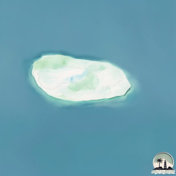
Geography and size of Anatahan
Size: 33.3 km²
Coastline: 26.9 km
Ocean: Pacific Ocean
Sea: Philippine Sea
Continent: Oceania
Anatahan is a Medium Island spanning 33 km² with a coastline of 27 km.
Archipel: Micronesia – A region in the western Pacific Ocean comprising thousands of small islands, known for their unique cultures, languages, and marine ecosystems.
Tectonic Plate: India – A major tectonic plate that initially moved northward at a rapid pace before colliding with the Eurasian Plate. This collision is responsible for the uplift of the Himalayas and the Tibetan Plateau.
The geographic heart of the island is pinpointed at these coordinates:
Latitude: 16.35213265 / Longitude: 145.6775458
Climate and weather of Anatahan
Climate Zone: Tropical
Climate Details: Tropical Rainforest Climate
Temperature: Hot
Climate Characteristics: This climate is typified by heavy rainfall throughout the year, high humidity, and consistently high temperatures, leading to lush rainforests and rich biodiversity. Seasonal temperature variations are minimal.
Topography and nature of Anatahan
Timezone: UTC+10:00
Timezone places: Australia/Sydney
Max. Elevation: 569 m
Mean Elevation: 267 m
Vegetation: Rocky Terrain
Tree Coverage: 15%
The mean elevation is 267 m. The highest elevation on the island reaches approximately 569 meters above sea level. The island is characterized by Plateau: Elevated flatlands rising sharply above the surrounding area, with a maximum elevation over 500 meters but a mean elevation less than 300 meters, forming unique highland areas on islands.
Dominating Vegetation: Rocky Terrain
Landscapes dominated by gravel, rock, and stone, with little to no vegetation. These areas are often found in mountainous regions or deserts. Anatahan has a tree cover of 15 %.
Vegetation: 14 vegetation zones – Exceptionally Diverse Island
Islands with more than ten vegetation zones are among the most ecologically rich and varied in the world. These islands are akin to miniature continents, boasting an incredible array of ecosystems. The sheer range of habitats, from high peaks to deep valleys, rainforests to deserts, creates a mosaic of life that is unparalleled. They are crucial for conservation and ecological studies.
Infrastructure and Travelling to Anatahan
Does the island have a public airport? no.
There is no public and scheduled airport on Anatahan. The nearest airport is Saipan International Airport, located 135 km away.
Does the island have a major port? no.
There are no major ports on Anatahan. The closest major port is SAIPAN, approximately 126 km away.
The mean population of Anatahan is 0 per km². Anatahan is Uninhabited. The island belongs to United States of America.
The name of the island resonates across different cultures and languages. Here is how it is known around the world: Arabic: أناتاهان; German: Anatahan; Spanish: Anatahan; French: Anatahan; Portuguese: Anatahan; Russian: Анатахан; Chinese: 阿纳塔汉岛
Continuing your journey, Saipan is the next notable island, situated merely km away.
The Anatahan Island Tragedy: 32 Men, One Woman, and a Fight for Survival | True Crime Documentary


United States of America is classified as Developed region: G7: Group of Seven – Major advanced economies, including Canada, France, Germany, Italy, Japan, the United Kingdom, and the United States. The level of income is High income: OECD.
News – Latest Updates and Headlines from Anatahan
Stay informed with the most recent news and important headlines from Anatahan. Here’s a roundup of the latest developments.
Please note: The data used here has been primarily extracted from satellite readings. Deviations from exact values may occur, particularly regarding the height of elevations and population density. Land area and coastline measurements refer to average values at mean high tide.