Astola
Welcome to Astola, a Dry island in the Arabian Sea, part of the majestic Indian Ocean. This guide offers a comprehensive overview of what makes Astola unique – from its geography and climate to its population, infrastructure, and beyond. Dive into the details:
- Geography and Size: Explore the island’s size and location.
- Climate and Weather: Weather patterns and temperature.
- Topography and Nature: Uncover the natural wonders of the island.
- Infrastructure and Travelling: Insights on reaching, staying, and making the most of your visit.
- News and Headlines: Latest News.
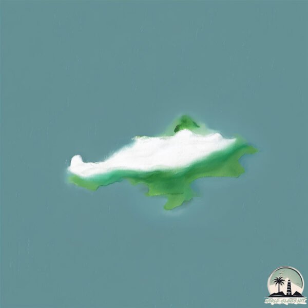
Geography and size of Astola
Size: 2.226 km²
Coastline: 8.8 km
Ocean: Indian Ocean
Sea: Arabian Sea
Continent: Asia
Astola is a Small Island spanning 2.2 km² with a coastline of 8.8 km.
Archipel: –
Tectonic Plate: Arabia – A major tectonic plate covering the Arabian Peninsula and parts of the Middle East. The plate is primarily continental and known for its collision with the Eurasian Plate, leading to the uplift of the Zagros Mountains.
The geographic heart of the island is pinpointed at these coordinates:
Latitude: 25.122103 / Longitude: 63.84772838
Climate and weather of Astola
Climate Zone: Dry
Climate Details: Hot Semi-Arid (Steppe) Climate
Temperature: Hot
Climate Characteristics: Features hot summers and mild to warm winters. Receives more rainfall than hot deserts but less than tropical savannas, leading to a somewhat more varied landscape.
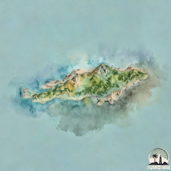
Topography and nature of Astola
Timezone: UTC+04:00
Timezone places: Asia/Dubai
Max. Elevation: 50 m
Mean Elevation: 31 m
Vegetation: Sparse Vegetation
Tree Coverage: 26%
The mean elevation is 31 m. The highest elevation on the island reaches approximately 50 meters above sea level. The island is characterized by Plains: Flat, low-lying lands characterized by a maximum elevation of up to 200 meters. On islands, plains are typically coastal lowlands or central flat areas.
Dominating Vegetation: Sparse Vegetation
These regions have limited plant growth, typically due to extreme conditions like aridity or poor soils. Vegetation is scattered and consists of hardy plant species. Astola has a tree cover of 26 %.
Vegetation: 2 vegetation zones – Low Diversity Island
Islands with two distinct vegetation zones offer slightly more ecological variety. These zones could be due to differences in elevation, moisture, or other environmental factors. While still limited in biodiversity, these islands may offer a contrast between the two zones, such as a coastline with mangroves and an inland area with grassland.
Infrastructure and Travelling to Astola
Does the island have a public airport? no.
There is no public and scheduled airport on Astola. The nearest airport is Pasni Airport, located 57 km away.
Does the island have a major port? no.
There are no major ports on Astola. The closest major port is GWADAR, approximately 170 km away.
The mean population of Astola is 13 per km². Astola is Gently Populated. The island belongs to India.
Continuing your journey, Bet Shankhodhār is the next notable island, situated merely km away.
India is classified as Emerging region: BRIC: Brazil, Russia, India, and China – Economies noted for their rapid growth and increasing influence on global affairs. The level of income is Lower middle income.
News – Latest Updates and Headlines from Astola
Stay informed with the most recent news and important headlines from Astola. Here’s a roundup of the latest developments.
Please note: The data used here has been primarily extracted from satellite readings. Deviations from exact values may occur, particularly regarding the height of elevations and population density. Land area and coastline measurements refer to average values at mean high tide.