Barren
Welcome to Barren, a Tropical island in the Andaman or Burma Sea, part of the majestic Indian Ocean. This guide offers a comprehensive overview of what makes Barren unique – from its geography and climate to its population, infrastructure, and beyond. Dive into the details:
- Geography and Size: Explore the island’s size and location.
- Climate and Weather: Weather patterns and temperature.
- Topography and Nature: Uncover the natural wonders of the island.
- Infrastructure and Travelling: Insights on reaching, staying, and making the most of your visit.
- News and Headlines: Latest News.
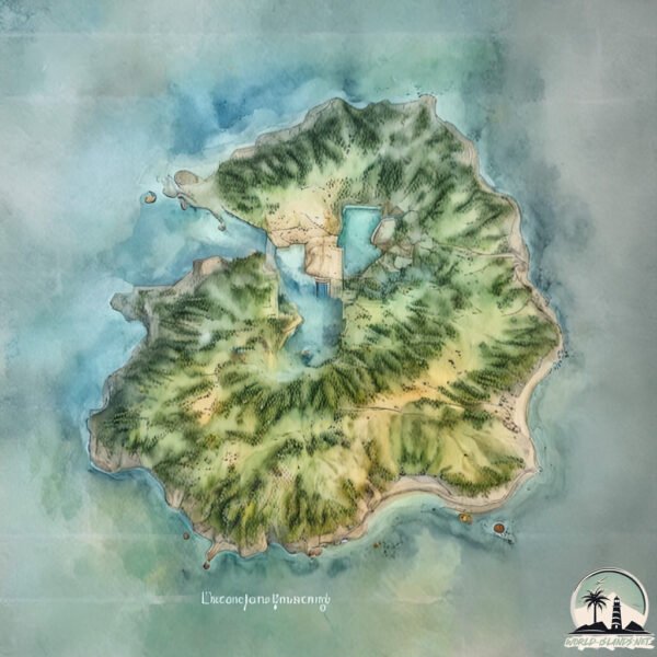
Geography and size of Barren
Size: 8.387 km²
Coastline: 13.3 km
Ocean: Indian Ocean
Sea: Andaman or Burma Sea
Continent: Asia
Barren is a Small Island spanning 8.4 km² with a coastline of 13.3 km.
Archipel: –
Tectonic Plate: Arabia – A major tectonic plate covering the Arabian Peninsula and parts of the Middle East. The plate is primarily continental and known for its collision with the Eurasian Plate, leading to the uplift of the Zagros Mountains.
The geographic heart of the island is pinpointed at these coordinates:
Latitude: 12.27967205 / Longitude: 93.86182853
Climate and weather of Barren
Climate Zone: Tropical
Climate Details: Tropical Monsoon Climate
Temperature: Hot
Climate Characteristics: Characterized by heavy rainfall, high humidity, and uniformly high temperatures, but with a distinct short dry season. It features a seasonal reversal of prevailing wind directions.
Topography and nature of Barren
Timezone: UTC+05:30
Timezone places:
Max. Elevation: 235 m
Mean Elevation: 159 m
Vegetation: Evergreen Needleleaf Forest
Tree Coverage: 62%
The mean elevation is 159 m. The highest elevation on the island reaches approximately 235 meters above sea level. The island is characterized by Hills: Gently sloping landforms with rounded tops, having a maximum elevation between 200 and 500 meters. Hills contribute to a varied landscape on islands.
Dominating Vegetation: Evergreen Needleleaf Forest
Dominated by evergreen coniferous trees such as pines and firs, which retain their needle-like leaves throughout the year. These forests are often found in cooler climates. Barren has a tree cover of 62 %.
Vegetation: 11 vegetation zones – Exceptionally Diverse Island
Islands with more than ten vegetation zones are among the most ecologically rich and varied in the world. These islands are akin to miniature continents, boasting an incredible array of ecosystems. The sheer range of habitats, from high peaks to deep valleys, rainforests to deserts, creates a mosaic of life that is unparalleled. They are crucial for conservation and ecological studies.
Infrastructure and Travelling to Barren
Does the island have a public airport? no.
There is no public and scheduled airport on Barren. The nearest airport is Veer Savarkar International Airport / INS Utkrosh, located 142 km away.
Does the island have a major port? no.
There are no major ports on Barren. The closest major port is PORT BLAIR, approximately 138 km away.
The mean population of Barren is 26 per km². Barren is Gently Populated. The island belongs to India.
Continuing your journey, Outram Island is the next notable island, situated merely km away.
India's Only Active Volcano Erupted, Barren Island Volcano


India is classified as Emerging region: BRIC: Brazil, Russia, India, and China – Economies noted for their rapid growth and increasing influence on global affairs. The level of income is Lower middle income.
News – Latest Updates and Headlines from Barren
Stay informed with the most recent news and important headlines from Barren. Here’s a roundup of the latest developments.
Please note: The data used here has been primarily extracted from satellite readings. Deviations from exact values may occur, particularly regarding the height of elevations and population density. Land area and coastline measurements refer to average values at mean high tide.