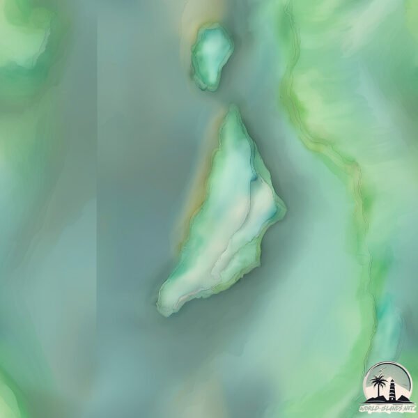
Bethany Island
Welcome to Bethany Island, a Tropical island in the North Atlantic Ocean, part of the majestic Atlantic Ocean. This guide offers a comprehensive overview of what makes Bethany Island unique – from its geography and climate to its population, infrastructure, and beyond. Dive into the details:
- Geography and Size: Explore the island’s size and location.
- Climate and Weather: Weather patterns and temperature.
- Topography and Nature: Uncover the natural wonders of the island.
- Infrastructure and Travelling: Insights on reaching, staying, and making the most of your visit.
- News and Headlines: Latest News.
Geography and size of Bethany Island
Size: 0.374 km²
Coastline: 4.1 km
Ocean: Atlantic Ocean
Sea: North Atlantic Ocean
Continent: South America
Bethany Island is a Tiny Island spanning 0.374 km² with a coastline of 4.1 km.
Archipel: –
Tectonic Plate: South America – A major plate covering the South American continent and part of the Atlantic Ocean, known for the Andes mountain range and significant seismic and volcanic activity.
The geographic heart of the island is pinpointed at these coordinates:
Latitude: 6.13593543 / Longitude: -58.56800472
Climate and weather of Bethany Island
Climate Zone: Tropical
Climate Details: Tropical Rainforest Climate
Temperature: Hot
Climate Characteristics: This climate is typified by heavy rainfall throughout the year, high humidity, and consistently high temperatures, leading to lush rainforests and rich biodiversity. Seasonal temperature variations are minimal.
Topography and nature of Bethany Island
Timezone: UTC-04:00
Timezone places: America/La_Paz
Max. Elevation: 34 m
Mean Elevation: 10 m
Vegetation: Open Woodland
Tree Coverage: 68%
The mean elevation is 10 m. The highest elevation on the island reaches approximately 34 meters above sea level. The island is characterized by Plains: Flat, low-lying lands characterized by a maximum elevation of up to 200 meters. On islands, plains are typically coastal lowlands or central flat areas.
Dominating Vegetation: Open Woodland
Characterized by sparsely distributed trees with open canopy allowing sunlight to penetrate, supporting grasses and shrubs underneath. Often found in drier or transitional environments. Bethany Island has a tree cover of 68 %.
Vegetation: 4 vegetation zones – Diverse Island
Four distinct vegetation zones mark these islands as ecologically diverse. They might feature varied landscapes such as forests, beaches, grasslands, and rocky areas. Such diversity reflects the island’s complex ecological interactions and varied habitats, which can support a rich array of wildlife and plant species.
Infrastructure and Travelling to Bethany Island
Does the island have a public airport? no.
There is no public and scheduled airport on Bethany Island. The nearest airport is Cheddi Jagan International Airport, located 53 km away.
Does the island have a major port? no.
There are no major ports on Bethany Island. The closest major port is LINDEN, approximately 33 km away.
The mean population of Bethany Island is 0 per km². Bethany Island is Uninhabited. The island belongs to Guyana.
Continuing your journey, Gluck Island is the next notable island, situated merely km away.
CBBC: Rocket's Island - Bethany's Diva Demands


Guyana is classified as Developing region: Regions characterized by lower income levels, with economies in the process of industrialization and modernization. The level of income is Lower middle income.
News – Latest Updates and Headlines from Bethany Island
Stay informed with the most recent news and important headlines from Bethany Island. Here’s a roundup of the latest developments.
Please note: The data used here has been primarily extracted from satellite readings. Deviations from exact values may occur, particularly regarding the height of elevations and population density. Land area and coastline measurements refer to average values at mean high tide.