Bonaire Island
Welcome to Bonaire Island, a Dry island in the Caribbean Sea, part of the majestic Atlantic Ocean. This guide offers a comprehensive overview of what makes Bonaire Island unique – from its geography and climate to its population, infrastructure, and beyond. Dive into the details:
- Geography and Size: Explore the island’s size and location.
- Climate and Weather: Weather patterns and temperature.
- Topography and Nature: Uncover the natural wonders of the island.
- Infrastructure and Travelling: Insights on reaching, staying, and making the most of your visit.
- News and Headlines: Latest News.
Geography and size of Bonaire Island
Size: 243.9 km²
Coastline: 133.6 km
Ocean: Atlantic Ocean
Sea: Caribbean Sea
Continent: North America
Bonaire Island is a Large Island spanning 244 km² with a coastline of 134 km.
Archipel: Lesser Antilles – A long arc of small islands in the Caribbean Sea, stretching from the Virgin Islands to Trinidad, known for their distinct cultures and tropical landscapes.
Tectonic Plate: Africa – One of the world’s largest tectonic plates, covering the African continent and parts of the surrounding oceans, known for its stability with some active rift zones.
The geographic heart of the island is pinpointed at these coordinates:
Latitude: 12.20006423 / Longitude: -68.29424789
Climate and weather of Bonaire Island
Climate Zone: Dry
Climate Details: Hot Semi-Arid (Steppe) Climate
Temperature: Hot
Climate Characteristics: Features hot summers and mild to warm winters. Receives more rainfall than hot deserts but less than tropical savannas, leading to a somewhat more varied landscape.
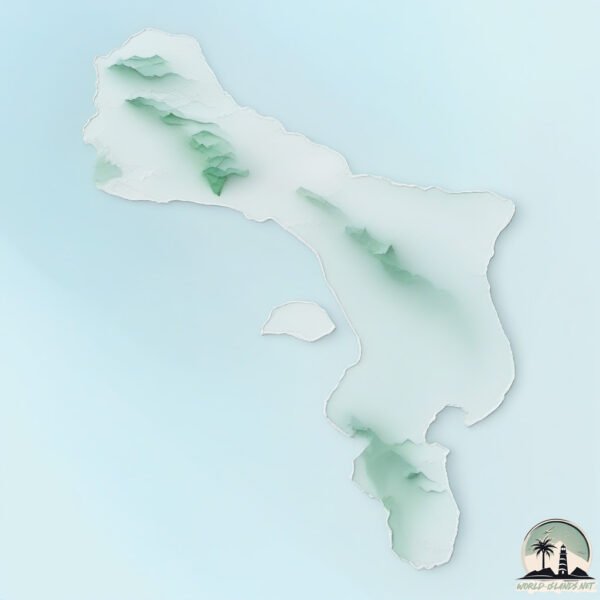
Topography and nature of Bonaire Island
Timezone: UTC-04:00
Timezone places: America/La_Paz
Max. Elevation: 110 m
Mean Elevation: 27 m
Vegetation: Herbaceous Cover
Tree Coverage: 22%
The mean elevation is 27 m. The highest elevation on the island reaches approximately 110 meters above sea level. The island is characterized by Plains: Flat, low-lying lands characterized by a maximum elevation of up to 200 meters. On islands, plains are typically coastal lowlands or central flat areas.
Dominating Vegetation: Herbaceous Cover
Comprising mainly of grasses, herbs, and ferns, these areas are common in prairies, meadows, and savannas, and can vary widely in species composition. Bonaire Island has a tree cover of 22 %.
Vegetation: 14 vegetation zones – Exceptionally Diverse Island
Islands with more than ten vegetation zones are among the most ecologically rich and varied in the world. These islands are akin to miniature continents, boasting an incredible array of ecosystems. The sheer range of habitats, from high peaks to deep valleys, rainforests to deserts, creates a mosaic of life that is unparalleled. They are crucial for conservation and ecological studies.
Infrastructure and Travelling to Bonaire Island
Does the island have a public airport? yes.
Bonaire Island has a public and scheduled airport. The following airports are located on this island: Flamingo International Airport.
Does the island have a major port? yes.
Bonaire Island is home to a major port. The following ports are situated on the island: .
The mean population of Bonaire Island is 90 per km². Bonaire Island is Gently Populated. The island belongs to Netherlands.
Continuing your journey, Curacao is the next notable island, situated merely km away.
BONAIRE Travel Guide - Top 10 Best Things To Do


Netherlands is classified as Developed region: nonG7: Developed economies outside of the Group of Seven, characterized by high income and advanced economic structures. The level of income is High income: OECD.
News – Latest Updates and Headlines from Bonaire Island
Stay informed with the most recent news and important headlines from Bonaire Island. Here’s a roundup of the latest developments.
Please note: The data used here has been primarily extracted from satellite readings. Deviations from exact values may occur, particularly regarding the height of elevations and population density. Land area and coastline measurements refer to average values at mean high tide.