Buffalo
Welcome to Buffalo, a Tropical island in the Bay of Bengal, part of the majestic Indian Ocean. This guide offers a comprehensive overview of what makes Buffalo unique – from its geography and climate to its population, infrastructure, and beyond. Dive into the details:
- Geography and Size: Explore the island’s size and location.
- Climate and Weather: Weather patterns and temperature.
- Topography and Nature: Uncover the natural wonders of the island.
- Infrastructure and Travelling: Insights on reaching, staying, and making the most of your visit.
- News and Headlines: Latest News.
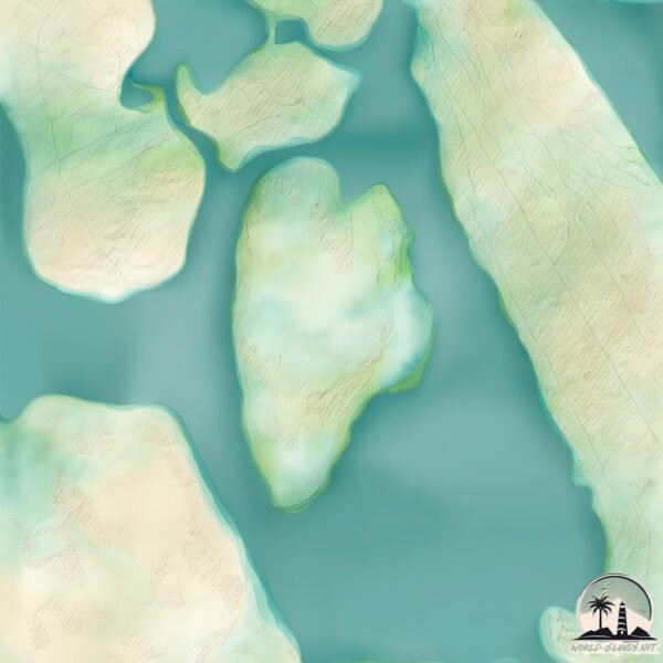
Geography and size of Buffalo
Size: 5.269 km²
Coastline: 10.2 km
Ocean: Indian Ocean
Sea: Bay of Bengal
Continent: Asia
Buffalo is a Small Island spanning 5.3 km² with a coastline of 10.2 km.
Archipel: –
Tectonic Plate: Burma – Also known as the Burma Plate, it’s a minor tectonic plate in Southeast Asia, largely covering Burma (Myanmar) and parts of the Indian Ocean. It’s involved in the subduction process under the Eurasian Plate, contributing to seismic activity in the region.
The geographic heart of the island is pinpointed at these coordinates:
Latitude: 7.68873366 / Longitude: 81.69856458
Climate and weather of Buffalo
Climate Zone: Tropical
Climate Details: Tropical Savanna, Wet
Temperature: Hot
Climate Characteristics: Defined by distinct wet and dry seasons with high temperatures year-round. Pronounced rainfall occurs during the wet season, while the dry season is marked by drought.
Topography and nature of Buffalo
Timezone: UTC+05:30
Timezone places: Asia/Kolkata
Max. Elevation: 5 m
Mean Elevation: 4 m
Vegetation: Herbaceous Cover
Tree Coverage: 39%
The mean elevation is 4 m. The highest elevation on the island reaches approximately 5 meters above sea level. The island is characterized by Plains: Flat, low-lying lands characterized by a maximum elevation of up to 200 meters. On islands, plains are typically coastal lowlands or central flat areas.
Dominating Vegetation: Herbaceous Cover
Comprising mainly of grasses, herbs, and ferns, these areas are common in prairies, meadows, and savannas, and can vary widely in species composition. Buffalo has a tree cover of 39 %.
Vegetation: 10 vegetation zones – Very Highly Diverse Island
Islands in this range are ecological powerhouses, showcasing a wide array of vegetation zones. Each zone, from lush rainforests to arid scrublands, coastal mangroves to mountainous regions, contributes to a complex and interdependent ecosystem. These islands are often hotspots of biodiversity, supporting numerous species and intricate ecological processes.
Infrastructure and Travelling to Buffalo
Does the island have a public airport? no.
There is no public and scheduled airport on Buffalo. The nearest airport is Batticaloa Airport, located 2 km away.
Does the island have a major port? no.
There are no major ports on Buffalo. The closest major port is TRINCOMALEE HARBOR, approximately 108 km away.
The mean population of Buffalo is 187 per km². Buffalo is Moderately Inhabited. The island belongs to Sri Lanka.
Continuing your journey, Sri Lanka is the next notable island, situated merely km away.
These GIANT Lions Hunt BUFFALOS | JRE featuring Forrest Galante


Sri Lanka is classified as Developing region: Regions characterized by lower income levels, with economies in the process of industrialization and modernization. The level of income is Lower middle income.
News – Latest Updates and Headlines from Buffalo
Stay informed with the most recent news and important headlines from Buffalo. Here’s a roundup of the latest developments.
Please note: The data used here has been primarily extracted from satellite readings. Deviations from exact values may occur, particularly regarding the height of elevations and population density. Land area and coastline measurements refer to average values at mean high tide.