Cayo Caoba
Welcome to Cayo Caoba, a Tropical island in the Caribbean Sea, part of the majestic Atlantic Ocean. This guide offers a comprehensive overview of what makes Cayo Caoba unique – from its geography and climate to its population, infrastructure, and beyond. Dive into the details:
- Geography and Size: Explore the island’s size and location.
- Climate and Weather: Weather patterns and temperature.
- Topography and Nature: Uncover the natural wonders of the island.
- Infrastructure and Travelling: Insights on reaching, staying, and making the most of your visit.
- News and Headlines: Latest News.
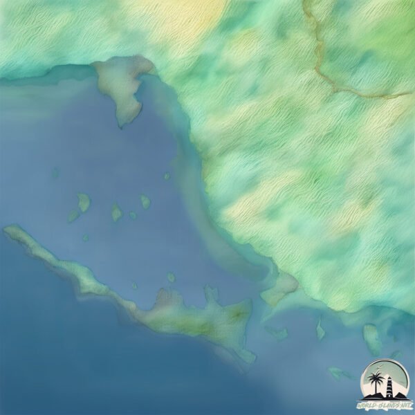
Geography and size of Cayo Caoba
Size: 0.459 km²
Coastline: 4.3 km
Ocean: Atlantic Ocean
Sea: Caribbean Sea
Continent: North America
Cayo Caoba is a Tiny Island spanning 0.459 km² with a coastline of 4.3 km.
Archipel: Greater Antilles – A major island group in the Caribbean, including Cuba, Jamaica, Hispaniola, and Puerto Rico, known for their rich history and diverse cultures.
Tectonic Plate: North America – Covers North America and parts of the Atlantic and Arctic Oceans, characterized by diverse geological features and varying levels of seismic activity.
The geographic heart of the island is pinpointed at these coordinates:
Latitude: 20.93377081 / Longitude: -78.40275196
Climate and weather of Cayo Caoba
Climate Zone: Tropical
Climate Details: Tropical Savanna, Wet
Temperature: Hot
Climate Characteristics: Defined by distinct wet and dry seasons with high temperatures year-round. Pronounced rainfall occurs during the wet season, while the dry season is marked by drought.
Topography and nature of Cayo Caoba
Timezone: UTC-05:00
Timezone places: America/New_York
Max. Elevation: -1 m
Mean Elevation: -3 m
Vegetation: Mangrove Forest
Tree Coverage: 63%
The mean elevation is -3 m. Remarkably, this unique island barely emerges above the sea level, showcasing nature’s fascinating interplay with the ocean. The island is characterized by Plains: Flat, low-lying lands characterized by a maximum elevation of up to 200 meters. On islands, plains are typically coastal lowlands or central flat areas.
Dominating Vegetation: Mangrove Forest
Found in coastal areas and river deltas, these unique wetland ecosystems are adapted to saline conditions and are crucial for coastal protection and biodiversity. Cayo Caoba has a tree cover of 63 %.
Vegetation: 1 vegetation zones – Minimal Diversity Island
These islands exhibit the most basic level of ecological diversity, often characterized by a single dominant vegetation type. This could be due to extreme environmental conditions, limited land area, or significant human impact. They represent unique ecosystems where specific species have adapted to thrive in these singular environments.
Infrastructure and Travelling to Cayo Caoba
Does the island have a public airport? no.
There is no public and scheduled airport on Cayo Caoba. The nearest airport is Maximo Gomez Airport, located 64 km away.
Does the island have a major port? no.
There are no major ports on Cayo Caoba. The closest major port is JUCARO, approximately 21 km away.
The mean population of Cayo Caoba is 31 per km². Cayo Caoba is Gently Populated. The island belongs to Cuba.
Continuing your journey, Cuba is the next notable island, situated merely km away.
Private Off-Grid Island Estate in Cayo Costa 🌴🚤 | Arrive by Boat Only


Cuba is classified as Emerging region: G20: Group of Twenty – Major economies comprising both developed and emerging countries, representing the world’s largest economies. The level of income is Upper middle income.
News – Latest Updates and Headlines from Cayo Caoba
Stay informed with the most recent news and important headlines from Cayo Caoba. Here’s a roundup of the latest developments.
Please note: The data used here has been primarily extracted from satellite readings. Deviations from exact values may occur, particularly regarding the height of elevations and population density. Land area and coastline measurements refer to average values at mean high tide.