Chell'mana
Welcome to Chell’mana, a Polar island in the Kara Sea, part of the majestic Arctic Ocean. This guide offers a comprehensive overview of what makes Chell’mana unique – from its geography and climate to its population, infrastructure, and beyond. Dive into the details:
- Geography and Size: Explore the island’s size and location.
- Climate and Weather: Weather patterns and temperature.
- Topography and Nature: Uncover the natural wonders of the island.
- Infrastructure and Travelling: Insights on reaching, staying, and making the most of your visit.
- News and Headlines: Latest News.
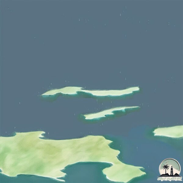
Geography and size of Chell’mana
Size: 4.714 km²
Coastline: 25.4 km
Ocean: Arctic Ocean
Sea: Kara Sea
Continent: Asia
Chell’mana is a Small Island spanning 4.7 km² with a coastline of 25.4 km.
Archipel: –
Tectonic Plate: Eurasia – One of the world’s largest tectonic plates, the Eurasian Plate covers a significant portion of Europe and Asia. It’s characterized by diverse geological features, including the Ural Mountains, the European Plain, and the Himalayas formed from its collision with the Indian Plate.
The geographic heart of the island is pinpointed at these coordinates:
Latitude: 74.87665178 / Longitude: 85.61210975
Climate and weather of Chell’mana
Climate Zone: Polar
Climate Details: Tundra
Temperature: Cold
Climate Characteristics: The tundra climate features long, extremely cold winters and short, cool summers. Vegetation is limited to mosses, lichens, and small shrubs due to the low temperatures and short growing seasons. Biodiversity is low, but some specialized species thrive.
Topography and nature of Chell’mana
Timezone: UTC+08:00
Timezone places: Australia/Perth
Max. Elevation: 2 m
Mean Elevation: -2 m
Vegetation: Sparse Vegetation
Tree Coverage: 71%
The mean elevation is -2 m. The highest elevation on the island reaches approximately 2 meters above sea level. The island is characterized by Plains: Flat, low-lying lands characterized by a maximum elevation of up to 200 meters. On islands, plains are typically coastal lowlands or central flat areas.
Dominating Vegetation: Sparse Vegetation
These regions have limited plant growth, typically due to extreme conditions like aridity or poor soils. Vegetation is scattered and consists of hardy plant species. Chell’mana has a tree cover of 71 %.
Vegetation: 3 vegetation zones – Moderately Diverse Island
These islands start to show a broader range of ecological niches. With three vegetation zones, they may offer a mix of ecosystems like coastal areas, inland woods, and perhaps a distinct wetland or dry area. This diversity supports a wider range of flora and fauna, making these islands more ecologically complex than those with minimal diversity.
Infrastructure and Travelling to Chell’mana
Does the island have a public airport? no.
There is no public and scheduled airport on Chell’mana. The nearest airport is Norilsk-Alykel Airport, located 645 km away.
Does the island have a major port? no.
There are no major ports on Chell’mana. The closest major port is PORT DIKSON, approximately 576 km away.
The mean population of Chell’mana is 0 per km². Chell’mana is Uninhabited. The island belongs to Russia.
Continuing your journey, Kruglyy is the next notable island, situated merely km away.
What A Welcome to Mana Island with Shell Lei 😍 Traditional Fijian Arrival #FijiTravel #ManaIsland


Russia is classified as Emerging region: BRIC: Brazil, Russia, India, and China – Economies noted for their rapid growth and increasing influence on global affairs. The level of income is Upper middle income.
News – Latest Updates and Headlines from Chell’mana
Stay informed with the most recent news and important headlines from Chell’mana. Here’s a roundup of the latest developments.
Please note: The data used here has been primarily extracted from satellite readings. Deviations from exact values may occur, particularly regarding the height of elevations and population density. Land area and coastline measurements refer to average values at mean high tide.