Daeundudo
Welcome to Daeundudo, a Temperate island in the Japan Sea, part of the majestic Pacific Ocean. This guide offers a comprehensive overview of what makes Daeundudo unique – from its geography and climate to its population, infrastructure, and beyond. Dive into the details:
- Geography and Size: Explore the island’s size and location.
- Climate and Weather: Weather patterns and temperature.
- Topography and Nature: Uncover the natural wonders of the island.
- Infrastructure and Travelling: Insights on reaching, staying, and making the most of your visit.
- News and Headlines: Latest News.
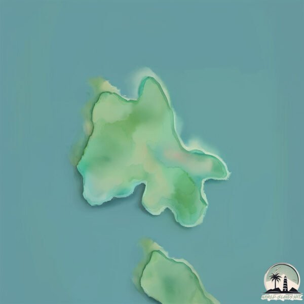
Geography and size of Daeundudo
Size: 0.582 km²
Coastline: 4.5 km
Ocean: Pacific Ocean
Sea: Japan Sea
Continent: Asia
Daeundudo is a Tiny Island spanning 0.582 km² with a coastline of 4.5 km.
Archipel: –
Tectonic Plate: Amur – A minor tectonic plate in the region of the Amur River at the border of Russia and China, involved in complex interactions with the Pacific and Eurasian plates.
The geographic heart of the island is pinpointed at these coordinates:
Latitude: 34.74396671 / Longitude: 127.56192497
Climate and weather of Daeundudo
Climate Zone: Temperate
Climate Details: Monsoon-Influenced Humid Subtropical Climate
Temperature: Hot Summer
Climate Characteristics: Known for hot, humid summers with significant monsoon rains, contrasted by mild, drier winters.
Topography and nature of Daeundudo
Timezone: UTC+09:00
Timezone places: Asia/Tokyo
Max. Elevation: 21 m
Mean Elevation: 18 m
Vegetation: Deciduous Broadleaf Forest
Tree Coverage: 85%
The mean elevation is 18 m. The highest elevation on the island reaches approximately 21 meters above sea level. The island is characterized by Plains: Flat, low-lying lands characterized by a maximum elevation of up to 200 meters. On islands, plains are typically coastal lowlands or central flat areas.
Dominating Vegetation: Deciduous Broadleaf Forest
Composed of broadleaf trees that shed their leaves seasonally. These forests are commonly found in temperate zones and experience distinct seasonal changes. Daeundudo has a tree cover of 85 %.
Vegetation: 3 vegetation zones – Moderately Diverse Island
These islands start to show a broader range of ecological niches. With three vegetation zones, they may offer a mix of ecosystems like coastal areas, inland woods, and perhaps a distinct wetland or dry area. This diversity supports a wider range of flora and fauna, making these islands more ecologically complex than those with minimal diversity.
Infrastructure and Travelling to Daeundudo
Does the island have a public airport? no.
There is no public and scheduled airport on Daeundudo. The nearest airport is Yeosu Airport, located 12 km away.
Does the island have a major port? no.
There are no major ports on Daeundudo. The closest major port is YOSU, approximately 20 km away.
The mean population of Daeundudo is 454 per km². Daeundudo is Moderately Inhabited. The island belongs to South Korea.
Continuing your journey, Kae-do is the next notable island, situated merely km away.
South Korea is classified as Emerging region: MIKT: Mexico, Indonesia, South Korea, and Turkey – Economies recognized for their development potential and emerging market status. The level of income is High income: OECD.
News – Latest Updates and Headlines from Daeundudo
Stay informed with the most recent news and important headlines from Daeundudo. Here’s a roundup of the latest developments.
Please note: The data used here has been primarily extracted from satellite readings. Deviations from exact values may occur, particularly regarding the height of elevations and population density. Land area and coastline measurements refer to average values at mean high tide.