Damo Shan
Welcome to Damo Shan, a Temperate island in the Eastern China Sea, part of the majestic Pacific Ocean. This guide offers a comprehensive overview of what makes Damo Shan unique – from its geography and climate to its population, infrastructure, and beyond. Dive into the details:
- Geography and Size: Explore the island’s size and location.
- Climate and Weather: Weather patterns and temperature.
- Topography and Nature: Uncover the natural wonders of the island.
- Infrastructure and Travelling: Insights on reaching, staying, and making the most of your visit.
- News and Headlines: Latest News.
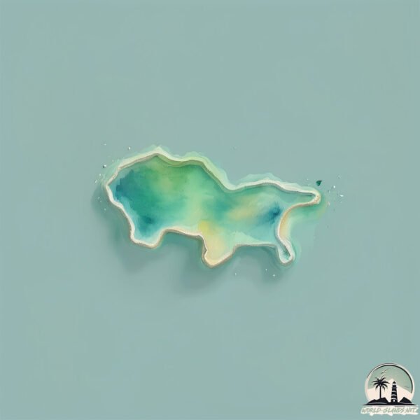
Geography and size of Damo Shan
Size: 0.943 km²
Coastline: 5.5 km
Ocean: Pacific Ocean
Sea: Eastern China Sea
Continent: Asia
Damo Shan is a Tiny Island spanning 0.943 km² with a coastline of 5.5 km.
Archipel: –
Tectonic Plate: Yangtze – A minor tectonic plate in East Asia, often considered a part of the Eurasian Plate. It’s primarily continental and covers the Yangtze River area in China, playing a significant role in the region’s geological stability.
The geographic heart of the island is pinpointed at these coordinates:
Latitude: 29.41060312 / Longitude: 122.00591652
Climate and weather of Damo Shan
Climate Zone: Temperate
Climate Details: Humid Subtropical Climate
Temperature: Hot Summer
Climate Characteristics: With continuous rainfall and hot summers, this climate is common in some coastal regions, supporting diverse vegetation.
Topography and nature of Damo Shan
Timezone: UTC+08:00
Timezone places: Australia/Perth
Max. Elevation: 50 m
Mean Elevation: 33 m
Vegetation: Evergreen Needleleaf Forest
Tree Coverage: 35%
The mean elevation is 33 m. The highest elevation on the island reaches approximately 50 meters above sea level. The island is characterized by Plains: Flat, low-lying lands characterized by a maximum elevation of up to 200 meters. On islands, plains are typically coastal lowlands or central flat areas.
Dominating Vegetation: Evergreen Needleleaf Forest
Dominated by evergreen coniferous trees such as pines and firs, which retain their needle-like leaves throughout the year. These forests are often found in cooler climates. Damo Shan has a tree cover of 35 %.
Vegetation: 2 vegetation zones – Low Diversity Island
Islands with two distinct vegetation zones offer slightly more ecological variety. These zones could be due to differences in elevation, moisture, or other environmental factors. While still limited in biodiversity, these islands may offer a contrast between the two zones, such as a coastline with mangroves and an inland area with grassland.
Infrastructure and Travelling to Damo Shan
Does the island have a public airport? no.
There is no public and scheduled airport on Damo Shan. The nearest airport is Zhoushan Putuoshan Airport, located 70 km away.
Does the island have a major port? no.
There are no major ports on Damo Shan. The closest major port is ZHOUSHAN, approximately 66 km away.
The mean population of Damo Shan is 602 per km². Damo Shan is Densely Populated. The island belongs to China.
Continuing your journey, Tantou Shan is the next notable island, situated merely km away.
pepesan and sheyyyn


China is classified as Emerging region: BRIC: Brazil, Russia, India, and China – Economies noted for their rapid growth and increasing influence on global affairs. The level of income is Upper middle income.
News – Latest Updates and Headlines from Damo Shan
Stay informed with the most recent news and important headlines from Damo Shan. Here’s a roundup of the latest developments.
Please note: The data used here has been primarily extracted from satellite readings. Deviations from exact values may occur, particularly regarding the height of elevations and population density. Land area and coastline measurements refer to average values at mean high tide.