Dark Tickle Island
Welcome to Dark Tickle Island, a Continental island in the Labrador Sea, part of the majestic Atlantic Ocean. This guide offers a comprehensive overview of what makes Dark Tickle Island unique – from its geography and climate to its population, infrastructure, and beyond. Dive into the details:
- Geography and Size: Explore the island’s size and location.
- Climate and Weather: Weather patterns and temperature.
- Topography and Nature: Uncover the natural wonders of the island.
- Infrastructure and Travelling: Insights on reaching, staying, and making the most of your visit.
- News and Headlines: Latest News.
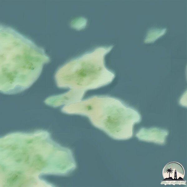
Geography and size of Dark Tickle Island
Size: 0.808 km²
Coastline: 5.7 km
Ocean: Atlantic Ocean
Sea: Labrador Sea
Continent: North America
Dark Tickle Island is a Tiny Island spanning 0.808 km² with a coastline of 5.7 km.
Archipel: –
Tectonic Plate: North America – Covers North America and parts of the Atlantic and Arctic Oceans, characterized by diverse geological features and varying levels of seismic activity.
The geographic heart of the island is pinpointed at these coordinates:
Latitude: 52.91872648 / Longitude: -55.83381104
Climate and weather of Dark Tickle Island
Climate Zone: Continental
Climate Details: Subarctic Climate
Temperature: Cold Summer
Climate Characteristics: Characterized by long, extremely cold winters and short, cool summers, often found in northern latitudes of North America and Eurasia.
Topography and nature of Dark Tickle Island
Timezone: UTC-03:30
Timezone places: America/St_Johns
Max. Elevation: 11 m
Mean Elevation: 9 m
Vegetation: Herbaceous Cover
Tree Coverage: 89%
The mean elevation is 9 m. The highest elevation on the island reaches approximately 11 meters above sea level. The island is characterized by Plains: Flat, low-lying lands characterized by a maximum elevation of up to 200 meters. On islands, plains are typically coastal lowlands or central flat areas.
Dominating Vegetation: Herbaceous Cover
Comprising mainly of grasses, herbs, and ferns, these areas are common in prairies, meadows, and savannas, and can vary widely in species composition. Dark Tickle Island has a tree cover of 89 %.
Vegetation: 3 vegetation zones – Moderately Diverse Island
These islands start to show a broader range of ecological niches. With three vegetation zones, they may offer a mix of ecosystems like coastal areas, inland woods, and perhaps a distinct wetland or dry area. This diversity supports a wider range of flora and fauna, making these islands more ecologically complex than those with minimal diversity.
Infrastructure and Travelling to Dark Tickle Island
Does the island have a public airport? no.
There is no public and scheduled airport on Dark Tickle Island. The nearest airport is Charlottetown Airport, located 34 km away.
Does the island have a major port? no.
There are no major ports on Dark Tickle Island. The closest major port is BLANC SABLON, approximately 220 km away.
The mean population of Dark Tickle Island is 0 per km². Dark Tickle Island is Uninhabited. The island belongs to Canada.
Continuing your journey, Stony Island is the next notable island, situated merely km away.
Dark Tickle Expeditions - View from Four Ears Island, St. Lunaire-Griquet, Feb 22, 2020


![We Just Have To Be Super Quiet [Sprunki Animation] #incredibox #sprunki #animation](https://i.ytimg.com/vi/LA1XFOtLw0I/mqdefault.jpg)


Canada is classified as Developed region: G7: Group of Seven – Major advanced economies, including Canada, France, Germany, Italy, Japan, the United Kingdom, and the United States. The level of income is High income: OECD.
News – Latest Updates and Headlines from Dark Tickle Island
Stay informed with the most recent news and important headlines from Dark Tickle Island. Here’s a roundup of the latest developments.
Please note: The data used here has been primarily extracted from satellite readings. Deviations from exact values may occur, particularly regarding the height of elevations and population density. Land area and coastline measurements refer to average values at mean high tide.