Dongbailian Shan
Welcome to Dongbailian Shan, a Temperate island in the Eastern China Sea, part of the majestic Pacific Ocean. This guide offers a comprehensive overview of what makes Dongbailian Shan unique – from its geography and climate to its population, infrastructure, and beyond. Dive into the details:
- Geography and Size: Explore the island’s size and location.
- Climate and Weather: Weather patterns and temperature.
- Topography and Nature: Uncover the natural wonders of the island.
- Infrastructure and Travelling: Insights on reaching, staying, and making the most of your visit.
- News and Headlines: Latest News.
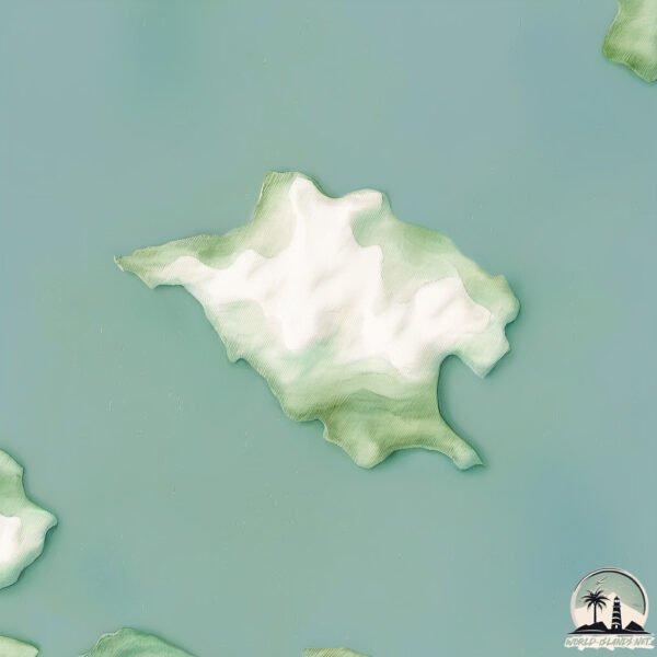
Geography and size of Dongbailian Shan
Size: 1.455 km²
Coastline: 8.3 km
Ocean: Pacific Ocean
Sea: Eastern China Sea
Continent: Asia
Dongbailian Shan is a Small Island spanning 1.5 km² with a coastline of 8.3 km.
Archipel: –
Tectonic Plate: Okinawa – Located in the East China Sea, near the Ryukyu Islands and Taiwan, it’s involved in the subduction zone between the Philippine Sea Plate and the Eurasian Plate.
The geographic heart of the island is pinpointed at these coordinates:
Latitude: 29.81494327 / Longitude: 122.18992554
Climate and weather of Dongbailian Shan
Climate Zone: Temperate
Climate Details: Humid Subtropical Climate
Temperature: Hot Summer
Climate Characteristics: With continuous rainfall and hot summers, this climate is common in some coastal regions, supporting diverse vegetation.
Topography and nature of Dongbailian Shan
Timezone: UTC+08:00
Timezone places: Australia/Perth
Max. Elevation: 13 m
Mean Elevation: 13 m
Vegetation: Sparse Vegetation
Tree Coverage: 92%
The mean elevation is 13 m. The highest elevation on the island reaches approximately 13 meters above sea level. The island is characterized by Plains: Flat, low-lying lands characterized by a maximum elevation of up to 200 meters. On islands, plains are typically coastal lowlands or central flat areas.
Dominating Vegetation: Sparse Vegetation
These regions have limited plant growth, typically due to extreme conditions like aridity or poor soils. Vegetation is scattered and consists of hardy plant species. Dongbailian Shan has a tree cover of 92 %.
Vegetation: 5 vegetation zones – Highly Diverse Island
With five different vegetation zones, these islands offer a rich tapestry of ecosystems. The variety could include dense forests, open meadows, wetlands, coastal zones, and more. This level of diversity supports an intricate web of life, with each zone playing a vital role in the overall ecological health and balance of the island.
Infrastructure and Travelling to Dongbailian Shan
Does the island have a public airport? no.
There is no public and scheduled airport on Dongbailian Shan. The nearest airport is Zhoushan Putuoshan Airport, located 23 km away.
Does the island have a major port? no.
There are no major ports on Dongbailian Shan. The closest major port is ZHOUSHAN, approximately 22 km away.
The mean population of Dongbailian Shan is 264 per km². Dongbailian Shan is Moderately Inhabited. The island belongs to China.
Continuing your journey, Mayi Dao is the next notable island, situated merely km away.
China is classified as Emerging region: BRIC: Brazil, Russia, India, and China – Economies noted for their rapid growth and increasing influence on global affairs. The level of income is Upper middle income.
News – Latest Updates and Headlines from Dongbailian Shan
Stay informed with the most recent news and important headlines from Dongbailian Shan. Here’s a roundup of the latest developments.
Please note: The data used here has been primarily extracted from satellite readings. Deviations from exact values may occur, particularly regarding the height of elevations and population density. Land area and coastline measurements refer to average values at mean high tide.