Dulfidol
Welcome to Dulfidol, a Dry island in the Red Sea, part of the majestic Indian Ocean. This guide offers a comprehensive overview of what makes Dulfidol unique – from its geography and climate to its population, infrastructure, and beyond. Dive into the details:
- Geography and Size: Explore the island’s size and location.
- Climate and Weather: Weather patterns and temperature.
- Topography and Nature: Uncover the natural wonders of the island.
- Infrastructure and Travelling: Insights on reaching, staying, and making the most of your visit.
- News and Headlines: Latest News.
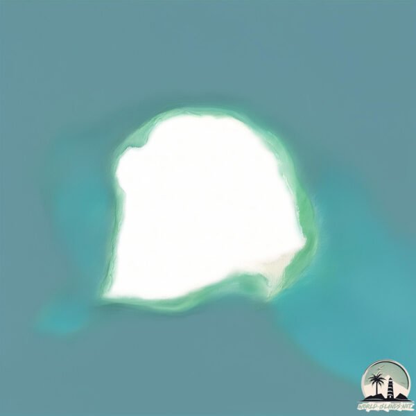
Geography and size of Dulfidol
Size: 6.754 km²
Coastline: 10.2 km
Ocean: Indian Ocean
Sea: Red Sea
Continent: Africa
Dulfidol is a Small Island spanning 6.8 km² with a coastline of 10.2 km.
Archipel: Dahlak Archipelago – Located in the Red Sea near Eritrea, known for their historical significance, coral reefs, and diverse marine life.
Tectonic Plate: Africa – One of the world’s largest tectonic plates, covering the African continent and parts of the surrounding oceans, known for its stability with some active rift zones.
The geographic heart of the island is pinpointed at these coordinates:
Latitude: 15.99162811 / Longitude: 40.29001778
Climate and weather of Dulfidol
Climate Zone: Dry
Climate Details: Hot Deserts Climate
Temperature: Hot
Climate Characteristics: Dominated by extremely hot temperatures, this climate is marked by minimal rainfall and barren landscapes. Nights often experience drastic temperature drops.
Topography and nature of Dulfidol
Timezone: UTC+03:00
Timezone places: Asia/Riyadh
Max. Elevation: 11 m
Mean Elevation: 6 m
Vegetation: Sparse Vegetation
Tree Coverage: 77%
The mean elevation is 6 m. The highest elevation on the island reaches approximately 11 meters above sea level. The island is characterized by Plains: Flat, low-lying lands characterized by a maximum elevation of up to 200 meters. On islands, plains are typically coastal lowlands or central flat areas.
Dominating Vegetation: Sparse Vegetation
These regions have limited plant growth, typically due to extreme conditions like aridity or poor soils. Vegetation is scattered and consists of hardy plant species. Dulfidol has a tree cover of 77 %.
Vegetation: 4 vegetation zones – Diverse Island
Four distinct vegetation zones mark these islands as ecologically diverse. They might feature varied landscapes such as forests, beaches, grasslands, and rocky areas. Such diversity reflects the island’s complex ecological interactions and varied habitats, which can support a rich array of wildlife and plant species.
Infrastructure and Travelling to Dulfidol
Does the island have a public airport? no.
There is no public and scheduled airport on Dulfidol. The nearest airport is Massawa International Airport, located 106 km away.
Does the island have a major port? no.
There are no major ports on Dulfidol. The closest major port is MITSIWA HARBOR, approximately 99 km away.
The mean population of Dulfidol is 5 per km². Dulfidol is Gently Populated. The island belongs to Eritrea.
Continuing your journey, Siem is the next notable island, situated merely km away.
The Secrets of Daufuskie Island, SC - The Perfect Day Trip


Eritrea is classified as Least developed region: Countries that exhibit the lowest indicators of socioeconomic development, with the lowest Human Development Index ratings. The level of income is Low income.
News – Latest Updates and Headlines from Dulfidol
Stay informed with the most recent news and important headlines from Dulfidol. Here’s a roundup of the latest developments.
Please note: The data used here has been primarily extracted from satellite readings. Deviations from exact values may occur, particularly regarding the height of elevations and population density. Land area and coastline measurements refer to average values at mean high tide.