East Chugach
Welcome to East Chugach, a Continental island in the Gulf of Alaska, part of the majestic Pacific Ocean. This guide offers a comprehensive overview of what makes East Chugach unique – from its geography and climate to its population, infrastructure, and beyond. Dive into the details:
- Geography and Size: Explore the island’s size and location.
- Climate and Weather: Weather patterns and temperature.
- Topography and Nature: Uncover the natural wonders of the island.
- Infrastructure and Travelling: Insights on reaching, staying, and making the most of your visit.
- News and Headlines: Latest News.
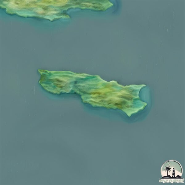
Geography and size of East Chugach
Size: 12.5 km²
Coastline: 33.5 km
Ocean: Pacific Ocean
Sea: Gulf of Alaska
Continent: North America
East Chugach is a Medium Island spanning 13 km² with a coastline of 33 km.
Archipel: –
Tectonic Plate: North America – Covers North America and parts of the Atlantic and Arctic Oceans, characterized by diverse geological features and varying levels of seismic activity.
The geographic heart of the island is pinpointed at these coordinates:
Latitude: 59.12788659 / Longitude: -151.47524568
Climate and weather of East Chugach
Climate Zone: Continental
Climate Details: Subarctic Climate
Temperature: Cold Summer
Climate Characteristics: Characterized by long, extremely cold winters and short, cool summers, often found in northern latitudes of North America and Eurasia.
Topography and nature of East Chugach
Timezone: UTC-09:00
Timezone places: America/Anchorage
Max. Elevation: 378 m
Mean Elevation: 167 m
Vegetation: Deciduous Needleleaf Forest
Tree Coverage: 94%
The mean elevation is 167 m. The highest elevation on the island reaches approximately 378 meters above sea level. The island is characterized by Hills: Gently sloping landforms with rounded tops, having a maximum elevation between 200 and 500 meters. Hills contribute to a varied landscape on islands.
Dominating Vegetation: Deciduous Needleleaf Forest
Consists of needleleaf trees that shed their needles annually. This type of forest is less common and can be found in certain cold, northern regions. East Chugach has a tree cover of 94 %.
Vegetation: 5 vegetation zones – Highly Diverse Island
With five different vegetation zones, these islands offer a rich tapestry of ecosystems. The variety could include dense forests, open meadows, wetlands, coastal zones, and more. This level of diversity supports an intricate web of life, with each zone playing a vital role in the overall ecological health and balance of the island.
Infrastructure and Travelling to East Chugach
Does the island have a public airport? no.
There is no public and scheduled airport on East Chugach. The nearest airport is Ouzinkie Airport, located 168 km away.
Does the island have a major port? no.
There are no major ports on East Chugach. The closest major port is SELDOVIA, approximately 39 km away.
The mean population of East Chugach is 0 per km². East Chugach is Uninhabited. The island belongs to United States of America.
Continuing your journey, Perl is the next notable island, situated merely km away.
Alaska's Chugach Mountains - seaplane flying


United States of America is classified as Developed region: G7: Group of Seven – Major advanced economies, including Canada, France, Germany, Italy, Japan, the United Kingdom, and the United States. The level of income is High income: OECD.
News – Latest Updates and Headlines from East Chugach
Stay informed with the most recent news and important headlines from East Chugach. Here’s a roundup of the latest developments.
Please note: The data used here has been primarily extracted from satellite readings. Deviations from exact values may occur, particularly regarding the height of elevations and population density. Land area and coastline measurements refer to average values at mean high tide.