Farallon de Pajaros
Welcome to Farallon de Pajaros, a Tropical island in the North Pacific Ocean, part of the majestic Pacific Ocean. This guide offers a comprehensive overview of what makes Farallon de Pajaros unique – from its geography and climate to its population, infrastructure, and beyond. Dive into the details:
- Geography and Size: Explore the island’s size and location.
- Climate and Weather: Weather patterns and temperature.
- Topography and Nature: Uncover the natural wonders of the island.
- Infrastructure and Travelling: Insights on reaching, staying, and making the most of your visit.
- News and Headlines: Latest News.
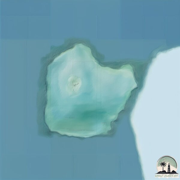
Geography and size of Farallon de Pajaros
Size: 2.306 km²
Coastline: 6.9 km
Ocean: Pacific Ocean
Sea: North Pacific Ocean
Continent: Oceania
Farallon de Pajaros is a Small Island spanning 2.3 km² with a coastline of 6.9 km.
Archipel: Micronesia – A region in the western Pacific Ocean comprising thousands of small islands, known for their unique cultures, languages, and marine ecosystems.
Tectonic Plate: Eurasia – One of the world’s largest tectonic plates, the Eurasian Plate covers a significant portion of Europe and Asia. It’s characterized by diverse geological features, including the Ural Mountains, the European Plain, and the Himalayas formed from its collision with the Indian Plate.
The geographic heart of the island is pinpointed at these coordinates:
Latitude: 20.5442976 / Longitude: 144.89356508
Climate and weather of Farallon de Pajaros
Climate Zone: Tropical
Climate Details: Tropical Rainforest Climate
Temperature: Hot
Climate Characteristics: This climate is typified by heavy rainfall throughout the year, high humidity, and consistently high temperatures, leading to lush rainforests and rich biodiversity. Seasonal temperature variations are minimal.
Topography and nature of Farallon de Pajaros
Timezone: UTC+10:00
Timezone places: Australia/Sydney
Max. Elevation: 140 m
Mean Elevation: 62 m
Vegetation: Sparse Vegetation
Tree Coverage: 26%
The mean elevation is 62 m. The highest elevation on the island reaches approximately 140 meters above sea level. The island is characterized by Plains: Flat, low-lying lands characterized by a maximum elevation of up to 200 meters. On islands, plains are typically coastal lowlands or central flat areas.
Dominating Vegetation: Sparse Vegetation
These regions have limited plant growth, typically due to extreme conditions like aridity or poor soils. Vegetation is scattered and consists of hardy plant species. Farallon de Pajaros has a tree cover of 26 %.
Vegetation: 3 vegetation zones – Moderately Diverse Island
These islands start to show a broader range of ecological niches. With three vegetation zones, they may offer a mix of ecosystems like coastal areas, inland woods, and perhaps a distinct wetland or dry area. This diversity supports a wider range of flora and fauna, making these islands more ecologically complex than those with minimal diversity.
Infrastructure and Travelling to Farallon de Pajaros
Does the island have a public airport? no.
There is no public and scheduled airport on Farallon de Pajaros. The nearest airport is Saipan International Airport, located 609 km away.
Does the island have a major port? no.
There are no major ports on Farallon de Pajaros. The closest major port is SAIPAN, approximately 599 km away.
The mean population of Farallon de Pajaros is 0 per km². Farallon de Pajaros is Uninhabited. The island belongs to United States of America.
Continuing your journey, Agrihan is the next notable island, situated merely km away.
Intro to the Mariana Islands: Farallon de Pajaros (Uracas)


United States of America is classified as Developed region: G7: Group of Seven – Major advanced economies, including Canada, France, Germany, Italy, Japan, the United Kingdom, and the United States. The level of income is High income: OECD.
News – Latest Updates and Headlines from Farallon de Pajaros
Stay informed with the most recent news and important headlines from Farallon de Pajaros. Here’s a roundup of the latest developments.
Please note: The data used here has been primarily extracted from satellite readings. Deviations from exact values may occur, particularly regarding the height of elevations and population density. Land area and coastline measurements refer to average values at mean high tide.