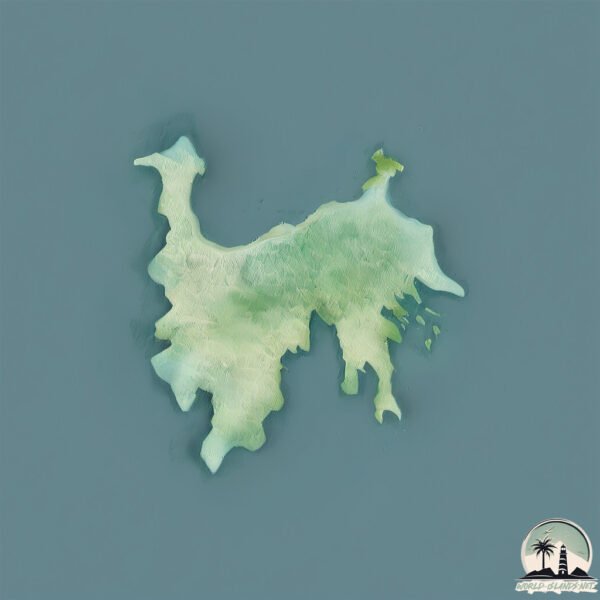
Gili Banta
Welcome to Gili Banta, a Tropical island in the Savu Sea, part of the majestic Pacific Ocean. This guide offers a comprehensive overview of what makes Gili Banta unique – from its geography and climate to its population, infrastructure, and beyond. Dive into the details:
- Geography and Size: Explore the island’s size and location.
- Climate and Weather: Weather patterns and temperature.
- Topography and Nature: Uncover the natural wonders of the island.
- Infrastructure and Travelling: Insights on reaching, staying, and making the most of your visit.
- News and Headlines: Latest News.
Geography and size of Gili Banta
Size: 25.9 km²
Coastline: 50.8 km
Ocean: Pacific Ocean
Sea: Savu Sea
Continent: Asia
Gili Banta is a Medium Island spanning 26 km² with a coastline of 51 km.
Archipel: Malay Archipelago – The world’s largest archipelago, located between mainland Southeast Asia and Australia, known for its immense biodiversity and cultural diversity.
Tectonic Plate: Australia – A major tectonic plate covering Australia, New Zealand, and parts of the Indian and Pacific Oceans, known for its relative stability and occasional seismic activity.
The geographic heart of the island is pinpointed at these coordinates:
Latitude: -8.43013393 / Longitude: 119.29487929
Climate and weather of Gili Banta
Climate Zone: Tropical
Climate Details: Tropical Savanna, Wet
Temperature: Hot
Climate Characteristics: Defined by distinct wet and dry seasons with high temperatures year-round. Pronounced rainfall occurs during the wet season, while the dry season is marked by drought.
Topography and nature of Gili Banta
Timezone: UTC+08:00
Timezone places: Australia/Perth
Max. Elevation: 241 m
Mean Elevation: 105 m
Vegetation: Agricultural Mosaic
Tree Coverage: 29%
The mean elevation is 105 m. The highest elevation on the island reaches approximately 241 meters above sea level. The island is characterized by Hills: Gently sloping landforms with rounded tops, having a maximum elevation between 200 and 500 meters. Hills contribute to a varied landscape on islands.
Dominating Vegetation: Agricultural Mosaic
A mix of cropland and natural vegetation, often seen in rural landscapes where agricultural fields are interspersed with patches of natural habitats. Gili Banta has a tree cover of 29 %.
Vegetation: 7 vegetation zones – Very Highly Diverse Island
Islands in this range are ecological powerhouses, showcasing a wide array of vegetation zones. Each zone, from lush rainforests to arid scrublands, coastal mangroves to mountainous regions, contributes to a complex and interdependent ecosystem. These islands are often hotspots of biodiversity, supporting numerous species and intricate ecological processes.
Infrastructure and Travelling to Gili Banta
Does the island have a public airport? no.
There is no public and scheduled airport on Gili Banta. The nearest airport is Komodo Airport, located 62 km away.
Does the island have a major port? no.
There are no major ports on Gili Banta. The closest major port is WAINGAPU, approximately 165 km away.
The mean population of Gili Banta is 116 per km². Gili Banta is Moderately Inhabited. The island belongs to Indonesia.
Continuing your journey, Komodo is the next notable island, situated merely km away.
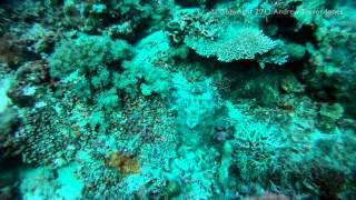
The beauty of ( private ) Gili Banta Island,both above and under water. Indah nya Pulau Gili Banta


Indonesia is classified as Emerging region: MIKT: Mexico, Indonesia, South Korea, and Turkey – Economies recognized for their development potential and emerging market status. The level of income is Lower middle income.
News – Latest Updates and Headlines from Gili Banta
Stay informed with the most recent news and important headlines from Gili Banta. Here’s a roundup of the latest developments.
Please note: The data used here has been primarily extracted from satellite readings. Deviations from exact values may occur, particularly regarding the height of elevations and population density. Land area and coastline measurements refer to average values at mean high tide.