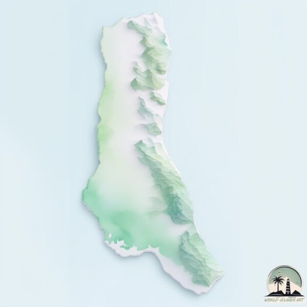
Grande Comore
Welcome to Grande Comore, a Tropical island in the Mozambique Channel, part of the majestic Indian Ocean. This guide offers a comprehensive overview of what makes Grande Comore unique – from its geography and climate to its population, infrastructure, and beyond. Dive into the details:
- Geography and Size: Explore the island’s size and location.
- Climate and Weather: Weather patterns and temperature.
- Topography and Nature: Uncover the natural wonders of the island.
- Infrastructure and Travelling: Insights on reaching, staying, and making the most of your visit.
- News and Headlines: Latest News.
Geography and size of Grande Comore
Size: 1019 km²
Coastline: 202 km
Ocean: Indian Ocean
Sea: Mozambique Channel
Continent: Africa
Grande Comore is a Very Large Island spanning 1019 km² with a coastline of 202 km.
Archipel: Comoros – Located in the Indian Ocean between Madagascar and Mozambique, these volcanic islands are known for their unique blend of African, Arabic, and French influences.
Tectonic Plate: Somalia – A large tectonic plate covering the Horn of Africa and parts of the Indian Ocean, known for the East African Rift where it’s splitting away from the African Plate.
The geographic heart of the island is pinpointed at these coordinates:
Latitude: -11.66254908 / Longitude: 43.35457086
Climate and weather of Grande Comore
Climate Zone: Tropical
Climate Details: Tropical Monsoon Climate
Temperature: Hot
Climate Characteristics: Characterized by heavy rainfall, high humidity, and uniformly high temperatures, but with a distinct short dry season. It features a seasonal reversal of prevailing wind directions.
Topography and nature of Grande Comore
Timezone: UTC+03:00
Timezone places: Asia/Riyadh
Max. Elevation: 2361 m Le Kartala
Mean Elevation: 599 m
Vegetation: Evergreen Broadleaf Forest
Tree Coverage: 57%
The mean elevation is 599 m. Dominating the island’s landscape, the majestic “Le Kartala” rises as the highest peak, soaring to impressive heights. The island is characterized by Mountains: High, steeply elevated landforms. Characterized by both a high maximum elevation (over 500 meters) and a high mean elevation, creating rugged, mountainous terrains on islands.
Dominating Vegetation: Evergreen Broadleaf Forest
Characterized by dense, lush canopies of broadleaf trees that retain their leaves year-round. These forests are typically found in tropical and subtropical regions and are known for their high biodiversity. Grande Comore has a tree cover of 57 %.
Vegetation: 12 vegetation zones – Exceptionally Diverse Island
Islands with more than ten vegetation zones are among the most ecologically rich and varied in the world. These islands are akin to miniature continents, boasting an incredible array of ecosystems. The sheer range of habitats, from high peaks to deep valleys, rainforests to deserts, creates a mosaic of life that is unparalleled. They are crucial for conservation and ecological studies.
Infrastructure and Travelling to Grande Comore
Does the island have a public airport? yes.
Grande Comore has a public and scheduled airport. The following airports are located on this island: Prince Said Ibrahim International Airport.
Does the island have a major port? yes.
Grande Comore is home to a major port. The following ports are situated on the island: .
The mean population of Grande Comore is 449 per km². Grande Comore is Moderately Inhabited. The island belongs to Comoros.
The name of the island resonates across different cultures and languages. Here is how it is known around the world: Arabic: القمر الكبرى; German: Grande Comore; Spanish: Gran Comora; French: Grande Comore; Portuguese: Grande Comore; Russian: Нгазиджа; Chinese: 大科摩罗岛
Continuing your journey, Mwali is the next notable island, situated merely km away.
GRANDE COMORE. COMOROS


Comoros is classified as Least developed region: Countries that exhibit the lowest indicators of socioeconomic development, with the lowest Human Development Index ratings. The level of income is Low income.
News – Latest Updates and Headlines from Grande Comore
Stay informed with the most recent news and important headlines from Grande Comore. Here’s a roundup of the latest developments.
Social Media Posts about Grande Comore
Please note: The data used here has been primarily extracted from satellite readings. Deviations from exact values may occur, particularly regarding the height of elevations and population density. Land area and coastline measurements refer to average values at mean high tide.