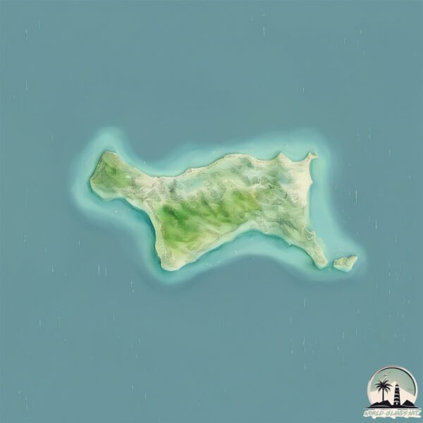
Welcome to Grant, a Tropical island in the Arafura Sea, part of the majestic Indian Ocean. This guide offers a comprehensive overview of what makes Grant unique – from its geography and climate to its population, infrastructure, and beyond. Dive into the details:
Geography and size of Grant
Size: 13 km²
Coastline: 26.9 km
Ocean: Indian Ocean
Sea: Arafura Sea
Continent: Asia
Grant is a Medium Island spanning 13 km² with a coastline of 27 km.
Archipel: –
Tectonic Plate: Australia – A major tectonic plate covering Australia, New Zealand, and parts of the Indian and Pacific Oceans, known for its relative stability and occasional seismic activity.
The geographic heart of the island is pinpointed at these coordinates:
Latitude: -11.15401415 / Longitude: 132.88928192
Climate and weather of Grant
Climate Zone: Tropical
Climate Details: Tropical Savanna, Wet
Temperature: Hot
Climate Characteristics: Defined by distinct wet and dry seasons with high temperatures year-round. Pronounced rainfall occurs during the wet season, while the dry season is marked by drought.
Topography and nature of Grant
Timezone: UTC+09:30
Timezone places: Australia/Adelaide
Max. Elevation: 22 m
Mean Elevation: 8 m
Vegetation: Open Woodland
Tree Coverage: 53%
The mean elevation is 8 m. The highest elevation on the island reaches approximately 22 meters above sea level. The island is characterized by Plains: Flat, low-lying lands characterized by a maximum elevation of up to 200 meters. On islands, plains are typically coastal lowlands or central flat areas.
Dominating Vegetation: Open Woodland
Characterized by sparsely distributed trees with open canopy allowing sunlight to penetrate, supporting grasses and shrubs underneath. Often found in drier or transitional environments. Grant has a tree cover of 53 %.
Vegetation: 9 vegetation zones – Very Highly Diverse Island
Islands in this range are ecological powerhouses, showcasing a wide array of vegetation zones. Each zone, from lush rainforests to arid scrublands, coastal mangroves to mountainous regions, contributes to a complex and interdependent ecosystem. These islands are often hotspots of biodiversity, supporting numerous species and intricate ecological processes.
Infrastructure and Travelling to Grant
Does the island have a public airport? no.
There is no public and scheduled airport on Grant. The nearest airport is Maningrida Airport, located 176 km away.
Does the island have a major port? no.
There are no major ports on Grant. The closest major port is DARWIN, approximately 267 km away.
The mean population of Grant is 0 per km². Grant is Uninhabited. The island belongs to Australia.
Continuing your journey, Croker is the next notable island, situated merely km away.
Ireland offering £72k grant for island life but what's the catch?
After a scheme to try to tempt people to move to some of Ireland's remoter islands generated headlines from the US to Australia, ...Ireland offering £72k grant for island life but what's the catch?
After a scheme to try to tempt people to move to some of Ireland's ...
After a scheme to try to tempt people to move to some of Ireland's remoter islands generated headlines from the US to Australia, ...
I Spent 100 Days Beating Ark The Island... Here's What Happened
This is the first video in my 7 part series to defeat all of Ark's ...
This is the first video in my 7 part series to defeat all of Ark's canon story maps within 1000 in game Ark days. (Including Lost ...
Touring The Mazaruni/Essequibo Rivers & Mr. Grant's Island Home
Discovering The Home Of The Guyanese-British vocalist and musician. ...
Discovering The Home Of The Guyanese-British vocalist and musician. His Beautiful Home is Centred On This Private Island 🙂 Hit ...
🌐The Ultimate Glamping Experience on Grant Island. Take the Ultimate Virtual Reality Tour
This Video is an Interactive Virtual Tour in 360 Virtual Reality. You ...
This Video is an Interactive Virtual Tour in 360 Virtual Reality. You can scroll around the video to view each of the images in 360 ...
Grant Island Announces Contest To Win A Free One Week Vacation Valued at $2500.
Enter to win a free week vacation at Grant Island on Brantingham Lake ...
Enter to win a free week vacation at Grant Island on Brantingham Lake in the Adirondacks of upstate NY. Entry is free.
A Dream Come Tru - Isla Grant (12 songs)
1 = Circle of gold 2 = A dream come true (4m25) 3 = Leave me the way ...
1 = Circle of gold 2 = A dream come true (4m25) 3 = Leave me the way that i am (8m00) 4 = Till the day that he met ...you (11m30) 5 ...[+] Show More Grant Island Adventure
Grant Island on Brantingham Lake in the Adirondacks of upstate NY has ...
Grant Island on Brantingham Lake in the Adirondacks of upstate NY has plenty of adventure to keep even the biggest adrenaline ...
This is The Stabbin Cabin on Grant Island
I Spent 100 Days In Ark Survival Ascended [The Island]
I spent 100 days on the island in Ark Survival Ascended. Here's what ...
I spent 100 days on the island in Ark Survival Ascended. Here's what happened. Become a channel member today!
Eddy Grant's floating house in Guyana
Famous singer Eddy Grant's isolated house on its own island #Guyana ...
Famous singer Eddy Grant's isolated house on its own island #Guyana #EddyGrant #Eddy #Grant #island #floating #house ...
I Spent 100 Days in Ark The Island... Here's What Happened
Make sure to download and play Warthunder for free today and get a ...
Make sure to download and play Warthunder for free today and get a massive bonus pack with vehicles, boosters and MORE!
Grant Island ATV Rentals Upstate NY - It's time to ride!
Grant Island Rentals is located in Upstate NY on Brantingham Lake and ...
Grant Island Rentals is located in Upstate NY on Brantingham Lake and is open for the 2023 season. Rent and drive right from the ...
Flamy Grant // I Think I See The Island (Lyric Video)
http://www.FlamyGrant.com A few months ago, my spouse turned to me and said, “Let's do it. Let's go to North Carolina.” For a long time ...
Grant Island Website Hero
Hero video for Grant Island cottages on Brantingham Lake, NY in the ...
Hero video for Grant Island cottages on Brantingham Lake, NY in the Adirondacks. Vacation rental host.
🌐Discover the Stabbin Cabin #:2 on Grant Island. Ultimate Virtual Reality Tour
This Video is an Interactive Virtual Tour in 360 Virtual Reality. You ...
This Video is an Interactive Virtual Tour in 360 Virtual Reality. You can scroll around the video to view each of the images in 360 ...
For Sale - 1 Grant Island, Grant Valkaria FL 32949
Enjoy a laidback island lifestyle. This custom-built Island paradise ...
Enjoy a laidback island lifestyle. This custom-built Island paradise is on Grant Island in the Indian River. The #1 Grant Island ...
👉Take a ride to Grant Island in Upstate NY. 📌Follow for daily amazing waterfront vacation rentals
This is Grant Island on Brantingham Lake, NY. See a full Virtual Tour ...
This is Grant Island on Brantingham Lake, NY. See a full Virtual Tour of Brantingham Lake and Grant Island here: Brantingham ...
Great Loop Route #40: Blind River, Ontario to East Grant Island, Ontario Canada | What Yacht To Do
Welcome to What Yacht To Do, a real life documentary of our great loop ...
Welcome to What Yacht To Do, a real life documentary of our great loop route. Today Rev and Sam are moving from Blind River, ...
The Stabbin Cabin on Grant Island Brantingham Lake. Follow for more of the best spots in the world.
Canoe Rentals on Brantingham Lake, NY with Grant Island Rentals
Canoeing on Brantingham Lake with Grant Island Rentals.
Canoeing on Brantingham Lake with Grant Island Rentals.
Daring snowmobile ride off of Grant Island
A warm afternoon melts the ice across Brantingham Lake and owner John ...
A warm afternoon melts the ice across Brantingham Lake and owner John Paul Pfeiffer is on Grant Island. Will he make it off with a ...
Daniel Grant Island Blessings | Search is Everything
Daniel Grant takes us on a journey to Bali checking out some of the ...
Daniel Grant takes us on a journey to Bali checking out some of the Islands hidden treasures.
Massive Rope Water Swing on Grant Island, Brantingham Lake, NY
Visit Grant Island via Virtual Tour on the website: ...
Visit Grant Island via Virtual Tour on the website:
http://www.grantisland.com Explore the entire island and cottages for rent as well as ...
Australia is classified as Developed region: nonG7: Developed economies outside of the Group of Seven, characterized by high income and advanced economic structures. The level of income is High income: OECD.
News – Latest Updates and Headlines from Grant
Stay informed with the most recent news and important headlines from Grant. Here’s a roundup of the latest developments.
Loading...
Please note: The data used here has been primarily extracted from satellite readings. Deviations from exact values may occur, particularly regarding the height of elevations and population density. Land area and coastline measurements refer to average values at mean high tide.


![I Spent 100 Days In Ark Survival Ascended [The Island]](https://i.ytimg.com/vi/bRkwJXGr8I0/mqdefault.jpg)