Haidana
Welcome to Haidana, a Tropical island in the Coral Sea, part of the majestic Pacific Ocean. This guide offers a comprehensive overview of what makes Haidana unique – from its geography and climate to its population, infrastructure, and beyond. Dive into the details:
- Geography and Size: Explore the island’s size and location.
- Climate and Weather: Weather patterns and temperature.
- Topography and Nature: Uncover the natural wonders of the island.
- Infrastructure and Travelling: Insights on reaching, staying, and making the most of your visit.
- News and Headlines: Latest News.
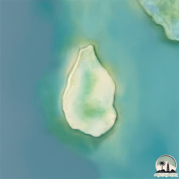
Geography and size of Haidana
Size: 2.031 km²
Coastline: 6.2 km
Ocean: Pacific Ocean
Sea: Coral Sea
Continent: Oceania
Haidana is a Small Island spanning 2 km² with a coastline of 6.2 km.
Archipel: Melanesia – A subregion of Oceania in the southwestern Pacific Ocean, including countries like Fiji, Solomon Islands, and Vanuatu, known for their diverse cultures and languages.
Tectonic Plate: Somalia – A large tectonic plate covering the Horn of Africa and parts of the Indian Ocean, known for the East African Rift where it’s splitting away from the African Plate.
The geographic heart of the island is pinpointed at these coordinates:
Latitude: -9.44471355 / Longitude: 147.03594832
Climate and weather of Haidana
Climate Zone: Tropical
Climate Details: Tropical Monsoon Climate
Temperature: Hot
Climate Characteristics: Characterized by heavy rainfall, high humidity, and uniformly high temperatures, but with a distinct short dry season. It features a seasonal reversal of prevailing wind directions.
Topography and nature of Haidana
Timezone: UTC+10:00
Timezone places: Australia/Sydney
Max. Elevation: 8 m
Mean Elevation: 6 m
Vegetation: Rice Paddy
Tree Coverage: 33%
The mean elevation is 6 m. The highest elevation on the island reaches approximately 8 meters above sea level. The island is characterized by Plains: Flat, low-lying lands characterized by a maximum elevation of up to 200 meters. On islands, plains are typically coastal lowlands or central flat areas.
Dominating Vegetation: Rice Paddy
Specifically designed for rice cultivation, these fields are flooded with water during the growing season. Paddy fields are a common sight in many parts of Asia. Haidana has a tree cover of 33 %.
Vegetation: 6 vegetation zones – Very Highly Diverse Island
Islands in this range are ecological powerhouses, showcasing a wide array of vegetation zones. Each zone, from lush rainforests to arid scrublands, coastal mangroves to mountainous regions, contributes to a complex and interdependent ecosystem. These islands are often hotspots of biodiversity, supporting numerous species and intricate ecological processes.
Infrastructure and Travelling to Haidana
Does the island have a public airport? no.
There is no public and scheduled airport on Haidana. The nearest airport is Port Moresby Jacksons International Airport, located 20 km away.
Does the island have a major port? no.
There are no major ports on Haidana. The closest major port is PORT MORESBY, approximately 10 km away.
The mean population of Haidana is 15 per km². Haidana is Gently Populated. The island belongs to Papua New Guinea.
Continuing your journey, Yule is the next notable island, situated merely km away.
Traveling to Haidana Island | Island of Origin | Epic Rugby Match


Papua New Guinea is classified as Developing region: Regions characterized by lower income levels, with economies in the process of industrialization and modernization. The level of income is Lower middle income.
News – Latest Updates and Headlines from Haidana
Stay informed with the most recent news and important headlines from Haidana. Here’s a roundup of the latest developments.
Please note: The data used here has been primarily extracted from satellite readings. Deviations from exact values may occur, particularly regarding the height of elevations and population density. Land area and coastline measurements refer to average values at mean high tide.