Harper Island
Welcome to Harper Island, a Continental island in the Labrador Sea, part of the majestic Atlantic Ocean. This guide offers a comprehensive overview of what makes Harper Island unique – from its geography and climate to its population, infrastructure, and beyond. Dive into the details:
- Geography and Size: Explore the island’s size and location.
- Climate and Weather: Weather patterns and temperature.
- Topography and Nature: Uncover the natural wonders of the island.
- Infrastructure and Travelling: Insights on reaching, staying, and making the most of your visit.
- News and Headlines: Latest News.
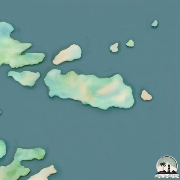
Geography and size of Harper Island
Size: 0.832 km²
Coastline: 4.4 km
Ocean: Atlantic Ocean
Sea: Labrador Sea
Continent: North America
Harper Island is a Tiny Island spanning 0.832 km² with a coastline of 4.4 km.
Archipel: –
Tectonic Plate: North America – Covers North America and parts of the Atlantic and Arctic Oceans, characterized by diverse geological features and varying levels of seismic activity.
The geographic heart of the island is pinpointed at these coordinates:
Latitude: 53.10116802 / Longitude: -55.75833201
Climate and weather of Harper Island
Climate Zone: Continental
Climate Details: Subarctic Climate
Temperature: Cold Summer
Climate Characteristics: Characterized by long, extremely cold winters and short, cool summers, often found in northern latitudes of North America and Eurasia.
Topography and nature of Harper Island
Timezone: UTC-03:30
Timezone places: America/St_Johns
Max. Elevation: 26 m
Mean Elevation: 16 m
Vegetation: Open Woodland
Tree Coverage: 46%
The mean elevation is 16 m. The highest elevation on the island reaches approximately 26 meters above sea level. The island is characterized by Plains: Flat, low-lying lands characterized by a maximum elevation of up to 200 meters. On islands, plains are typically coastal lowlands or central flat areas.
Dominating Vegetation: Open Woodland
Characterized by sparsely distributed trees with open canopy allowing sunlight to penetrate, supporting grasses and shrubs underneath. Often found in drier or transitional environments. Harper Island has a tree cover of 46 %.
Vegetation: 4 vegetation zones – Diverse Island
Four distinct vegetation zones mark these islands as ecologically diverse. They might feature varied landscapes such as forests, beaches, grasslands, and rocky areas. Such diversity reflects the island’s complex ecological interactions and varied habitats, which can support a rich array of wildlife and plant species.
Infrastructure and Travelling to Harper Island
Does the island have a public airport? no.
There is no public and scheduled airport on Harper Island. The nearest airport is Charlottetown Airport, located 53 km away.
Does the island have a major port? no.
There are no major ports on Harper Island. The closest major port is BLANC SABLON, approximately 241 km away.
The mean population of Harper Island is 0 per km². Harper Island is Uninhabited. The island belongs to Canada.
Continuing your journey, Hawke Island is the next notable island, situated merely km away.
Harper's Island - Trailer


Canada is classified as Developed region: G7: Group of Seven – Major advanced economies, including Canada, France, Germany, Italy, Japan, the United Kingdom, and the United States. The level of income is High income: OECD.
News – Latest Updates and Headlines from Harper Island
Stay informed with the most recent news and important headlines from Harper Island. Here’s a roundup of the latest developments.
Please note: The data used here has been primarily extracted from satellite readings. Deviations from exact values may occur, particularly regarding the height of elevations and population density. Land area and coastline measurements refer to average values at mean high tide.