Hascosay
Welcome to Hascosay, a Temperate island in the North Sea, part of the majestic Atlantic Ocean. This guide offers a comprehensive overview of what makes Hascosay unique – from its geography and climate to its population, infrastructure, and beyond. Dive into the details:
- Geography and Size: Explore the island’s size and location.
- Climate and Weather: Weather patterns and temperature.
- Topography and Nature: Uncover the natural wonders of the island.
- Infrastructure and Travelling: Insights on reaching, staying, and making the most of your visit.
- News and Headlines: Latest News.
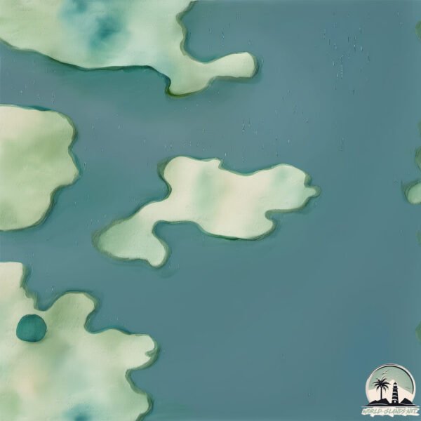
Geography and size of Hascosay
Size: 3.027 km²
Coastline: 10.3 km
Ocean: Atlantic Ocean
Sea: North Sea
Continent: Europe
Hascosay is a Small Island spanning 3 km² with a coastline of 10.3 km.
Archipel: Shetland Islands – Located northeast of mainland Scotland, these islands are known for their rugged terrain, unique cultural heritage, and abundant birdlife.
Tectonic Plate: North America – Covers North America and parts of the Atlantic and Arctic Oceans, characterized by diverse geological features and varying levels of seismic activity.
The geographic heart of the island is pinpointed at these coordinates:
Latitude: 60.60952302 / Longitude: -0.99026958
Climate and weather of Hascosay
Climate Zone: Temperate
Climate Details: Temperate Oceanic Climate
Temperature: Warm Summer
Climate Characteristics: Known for its moderate year-round temperatures with ample rainfall and no dry season. Warm summers are characteristic.
Topography and nature of Hascosay
Timezone: UTC±00:00
Timezone places: Europe/London
Max. Elevation: 70 m
Mean Elevation: 63 m
Vegetation: Open Woodland
Tree Coverage: 88%
The mean elevation is 63 m. The highest elevation on the island reaches approximately 70 meters above sea level. The island is characterized by Plains: Flat, low-lying lands characterized by a maximum elevation of up to 200 meters. On islands, plains are typically coastal lowlands or central flat areas.
Dominating Vegetation: Open Woodland
Characterized by sparsely distributed trees with open canopy allowing sunlight to penetrate, supporting grasses and shrubs underneath. Often found in drier or transitional environments. Hascosay has a tree cover of 88 %.
Vegetation: 8 vegetation zones – Very Highly Diverse Island
Islands in this range are ecological powerhouses, showcasing a wide array of vegetation zones. Each zone, from lush rainforests to arid scrublands, coastal mangroves to mountainous regions, contributes to a complex and interdependent ecosystem. These islands are often hotspots of biodiversity, supporting numerous species and intricate ecological processes.
Infrastructure and Travelling to Hascosay
Does the island have a public airport? no.
There is no public and scheduled airport on Hascosay. The nearest airport is Lerwick / Tingwall Airport, located 52 km away.
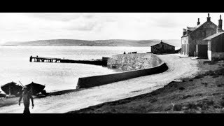
Does the island have a major port? no.
There are no major ports on Hascosay. The closest major port is SULLOM VOE, approximately 35 km away.
The mean population of Hascosay is 2 per km². Hascosay is Gently Populated. The island belongs to United Kingdom.
Continuing your journey, Yell is the next notable island, situated merely km away.
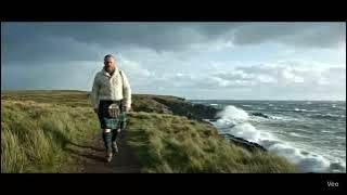
Scotsman Walking On Hascosay Island On History Visit To Orkney Islands Scotland

United Kingdom is classified as Developed region: G7: Group of Seven – Major advanced economies, including Canada, France, Germany, Italy, Japan, the United Kingdom, and the United States. The level of income is High income: OECD.
News – Latest Updates and Headlines from Hascosay
Stay informed with the most recent news and important headlines from Hascosay. Here’s a roundup of the latest developments.
Please note: The data used here has been primarily extracted from satellite readings. Deviations from exact values may occur, particularly regarding the height of elevations and population density. Land area and coastline measurements refer to average values at mean high tide.