Heybeliada
Welcome to Heybeliada, a Temperate island in the Sea of Marmara, part of the majestic Atlantic Ocean. This guide offers a comprehensive overview of what makes Heybeliada unique – from its geography and climate to its population, infrastructure, and beyond. Dive into the details:
- Geography and Size: Explore the island’s size and location.
- Climate and Weather: Weather patterns and temperature.
- Topography and Nature: Uncover the natural wonders of the island.
- Infrastructure and Travelling: Insights on reaching, staying, and making the most of your visit.
- News and Headlines: Latest News.
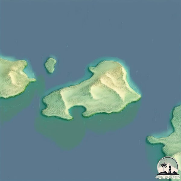
Geography and size of Heybeliada
Size: 2.582 km²
Coastline: 8.6 km
Ocean: Atlantic Ocean
Sea: Sea of Marmara
Continent: Asia
Heybeliada is a Small Island spanning 2.6 km² with a coastline of 8.6 km.
Archipel: –
Tectonic Plate: Eurasia – One of the world’s largest tectonic plates, the Eurasian Plate covers a significant portion of Europe and Asia. It’s characterized by diverse geological features, including the Ural Mountains, the European Plain, and the Himalayas formed from its collision with the Indian Plate.
The geographic heart of the island is pinpointed at these coordinates:
Latitude: 40.87502092 / Longitude: 29.09034145
Climate and weather of Heybeliada
Climate Zone: Temperate
Climate Details: Hot-Summer Mediterranean Climate
Temperature: Hot Summer
Climate Characteristics: Characterized by hot, dry summers and mild, wet winters, typical of coastal areas with abundant sunshine.
Topography and nature of Heybeliada
Timezone: UTC+02:00
Timezone places: Europe/Mariehamn
Max. Elevation: 43 m
Mean Elevation: 39 m
Vegetation: Evergreen Needleleaf Forest
Tree Coverage: 38%
The mean elevation is 39 m. The highest elevation on the island reaches approximately 43 meters above sea level. The island is characterized by Plains: Flat, low-lying lands characterized by a maximum elevation of up to 200 meters. On islands, plains are typically coastal lowlands or central flat areas.
Dominating Vegetation: Evergreen Needleleaf Forest
Dominated by evergreen coniferous trees such as pines and firs, which retain their needle-like leaves throughout the year. These forests are often found in cooler climates. Heybeliada has a tree cover of 38 %.
Vegetation: 5 vegetation zones – Highly Diverse Island
With five different vegetation zones, these islands offer a rich tapestry of ecosystems. The variety could include dense forests, open meadows, wetlands, coastal zones, and more. This level of diversity supports an intricate web of life, with each zone playing a vital role in the overall ecological health and balance of the island.
Infrastructure and Travelling to Heybeliada
Does the island have a public airport? no.
There is no public and scheduled airport on Heybeliada. The nearest airport is Istanbul Sabiha Gökçen International Airport, located 23 km away.
Does the island have a major port? no.
There are no major ports on Heybeliada. The closest major port is HAYDARPASA, approximately 15 km away.
The mean population of Heybeliada is 884 per km². Heybeliada is Densely Populated. The island belongs to Turkey.
Continuing your journey, Imrali Adasi is the next notable island, situated merely km away.
Heybeliada, Princes' Islands | A Peaceful Getaway in Istanbul #2


Turkey is classified as Emerging region: MIKT: Mexico, Indonesia, South Korea, and Turkey – Economies recognized for their development potential and emerging market status. The level of income is Upper middle income.
News – Latest Updates and Headlines from Heybeliada
Stay informed with the most recent news and important headlines from Heybeliada. Here’s a roundup of the latest developments.
Please note: The data used here has been primarily extracted from satellite readings. Deviations from exact values may occur, particularly regarding the height of elevations and population density. Land area and coastline measurements refer to average values at mean high tide.