Île Deblay
Welcome to Île Deblay, a Tropical island in the Gulf of Guinea, part of the majestic Atlantic Ocean. This guide offers a comprehensive overview of what makes Île Deblay unique – from its geography and climate to its population, infrastructure, and beyond. Dive into the details:
- Geography and Size: Explore the island’s size and location.
- Climate and Weather: Weather patterns and temperature.
- Topography and Nature: Uncover the natural wonders of the island.
- Infrastructure and Travelling: Insights on reaching, staying, and making the most of your visit.
- News and Headlines: Latest News.
Geography and size of Île Deblay
Size: 13.4 km²
Coastline: 17.9 km
Ocean: Atlantic Ocean
Sea: Gulf of Guinea
Continent: Africa
Île Deblay is a Medium Island spanning 13 km² with a coastline of 18 km.
Archipel: –
Tectonic Plate: South America – A major plate covering the South American continent and part of the Atlantic Ocean, known for the Andes mountain range and significant seismic and volcanic activity.
The geographic heart of the island is pinpointed at these coordinates:
Latitude: 5.19788745 / Longitude: -4.71633091
Climate and weather of Île Deblay
Climate Zone: Tropical
Climate Details: Tropical Savanna, Wet
Temperature: Hot
Climate Characteristics: Defined by distinct wet and dry seasons with high temperatures year-round. Pronounced rainfall occurs during the wet season, while the dry season is marked by drought.
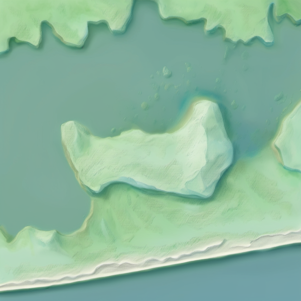
Topography and nature of Île Deblay
Timezone: UTC±00:00
Timezone places: Europe/Lisbon
Max. Elevation: 15 m
Mean Elevation: 9 m
Vegetation: Evergreen Broadleaf Forest
Tree Coverage: 65%
The mean elevation is 9 m. The highest elevation on the island reaches approximately 15 meters above sea level. The island is characterized by Plains: Flat, low-lying lands characterized by a maximum elevation of up to 200 meters. On islands, plains are typically coastal lowlands or central flat areas.
Dominating Vegetation: Evergreen Broadleaf Forest
Characterized by dense, lush canopies of broadleaf trees that retain their leaves year-round. These forests are typically found in tropical and subtropical regions and are known for their high biodiversity. Île Deblay has a tree cover of 65 %.
Vegetation: 7 vegetation zones – Very Highly Diverse Island
Islands in this range are ecological powerhouses, showcasing a wide array of vegetation zones. Each zone, from lush rainforests to arid scrublands, coastal mangroves to mountainous regions, contributes to a complex and interdependent ecosystem. These islands are often hotspots of biodiversity, supporting numerous species and intricate ecological processes.
Infrastructure and Travelling to Île Deblay
Does the island have a public airport? no.
There is no public and scheduled airport on Île Deblay. The nearest airport is Félix-Houphouët-Boigny International Airport, located 85 km away.
Does the island have a major port? no.
There are no major ports on Île Deblay. The closest major port is BAOBAB MARINE TERMINAL, approximately 29 km away.
The mean population of Île Deblay is 94 per km². Île Deblay is Gently Populated. The island belongs to Ivory Coast.
Continuing your journey, Île de Petit-Bassam is the next notable island, situated merely km away.
La Chasse au Trésor de l'île Deblay.


Ivory Coast is classified as Developing region: Regions characterized by lower income levels, with economies in the process of industrialization and modernization. The level of income is Lower middle income.
News – Latest Updates and Headlines from Île Deblay
Stay informed with the most recent news and important headlines from Île Deblay. Here’s a roundup of the latest developments.
Please note: The data used here has been primarily extracted from satellite readings. Deviations from exact values may occur, particularly regarding the height of elevations and population density. Land area and coastline measurements refer to average values at mean high tide.