Île Rachgoun
Welcome to Île Rachgoun, a Dry island in the Alboran Sea, part of the majestic Atlantic Ocean. This guide offers a comprehensive overview of what makes Île Rachgoun unique – from its geography and climate to its population, infrastructure, and beyond. Dive into the details:
- Geography and Size: Explore the island’s size and location.
- Climate and Weather: Weather patterns and temperature.
- Topography and Nature: Uncover the natural wonders of the island.
- Infrastructure and Travelling: Insights on reaching, staying, and making the most of your visit.
- News and Headlines: Latest News.
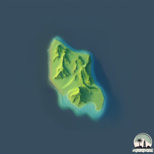
Geography and size of Île Rachgoun
Size: 0.229 km²
Coastline: 2.3 km
Ocean: Atlantic Ocean
Sea: Alboran Sea
Continent: Africa
Île Rachgoun is a Tiny Island spanning 0.229 km² with a coastline of 2.3 km.
Archipel: –
Tectonic Plate: Africa – One of the world’s largest tectonic plates, covering the African continent and parts of the surrounding oceans, known for its stability with some active rift zones.
The geographic heart of the island is pinpointed at these coordinates:
Latitude: 35.32162249 / Longitude: -1.47979452
Climate and weather of Île Rachgoun
Climate Zone: Dry
Climate Details: Hot Semi-Arid (Steppe) Climate
Temperature: Hot
Climate Characteristics: Features hot summers and mild to warm winters. Receives more rainfall than hot deserts but less than tropical savannas, leading to a somewhat more varied landscape.
Topography and nature of Île Rachgoun
Timezone: UTC+01:00
Timezone places: Europe/Paris
Max. Elevation: 5 m
Mean Elevation: 4 m
Vegetation: Open Woodland
Tree Coverage: 84%
The mean elevation is 4 m. The highest elevation on the island reaches approximately 5 meters above sea level. The island is characterized by Plains: Flat, low-lying lands characterized by a maximum elevation of up to 200 meters. On islands, plains are typically coastal lowlands or central flat areas.
Dominating Vegetation: Open Woodland
Characterized by sparsely distributed trees with open canopy allowing sunlight to penetrate, supporting grasses and shrubs underneath. Often found in drier or transitional environments. Île Rachgoun has a tree cover of 84 %.
Vegetation: 1 vegetation zones – Minimal Diversity Island
These islands exhibit the most basic level of ecological diversity, often characterized by a single dominant vegetation type. This could be due to extreme environmental conditions, limited land area, or significant human impact. They represent unique ecosystems where specific species have adapted to thrive in these singular environments.
Infrastructure and Travelling to Île Rachgoun
Does the island have a public airport? no.
There is no public and scheduled airport on Île Rachgoun. The nearest airport is Zenata – Messali El Hadj Airport, located 34 km away.
Does the island have a major port? no.
There are no major ports on Île Rachgoun. The closest major port is BENI SAF, approximately 11 km away.
The mean population of Île Rachgoun is 718 per km². Île Rachgoun is Densely Populated. The island belongs to Algeria.
Continuing your journey, Isla de Formentera is the next notable island, situated merely km away.
Algeria is classified as Developing region: Regions characterized by lower income levels, with economies in the process of industrialization and modernization. The level of income is Upper middle income.
News – Latest Updates and Headlines from Île Rachgoun
Stay informed with the most recent news and important headlines from Île Rachgoun. Here’s a roundup of the latest developments.
Please note: The data used here has been primarily extracted from satellite readings. Deviations from exact values may occur, particularly regarding the height of elevations and population density. Land area and coastline measurements refer to average values at mean high tide.