Ilha Cajari
Welcome to Ilha Cajari, a Tropical island in the South Atlantic Ocean, part of the majestic Atlantic Ocean. This guide offers a comprehensive overview of what makes Ilha Cajari unique – from its geography and climate to its population, infrastructure, and beyond. Dive into the details:
- Geography and Size: Explore the island’s size and location.
- Climate and Weather: Weather patterns and temperature.
- Topography and Nature: Uncover the natural wonders of the island.
- Infrastructure and Travelling: Insights on reaching, staying, and making the most of your visit.
- News and Headlines: Latest News.
Geography and size of Ilha Cajari
Size: 7.8 km²
Coastline: 16.8 km
Ocean: Atlantic Ocean
Sea: South Atlantic Ocean
Continent: South America
Ilha Cajari is a Small Island spanning 7.8 km² with a coastline of 16.8 km.
Archipel: –
Tectonic Plate: South America – A major plate covering the South American continent and part of the Atlantic Ocean, known for the Andes mountain range and significant seismic and volcanic activity.
The geographic heart of the island is pinpointed at these coordinates:
Latitude: -0.75480865 / Longitude: -51.67733952
Climate and weather of Ilha Cajari
Climate Zone: Tropical
Climate Details: Tropical Monsoon Climate
Temperature: Hot
Climate Characteristics: Characterized by heavy rainfall, high humidity, and uniformly high temperatures, but with a distinct short dry season. It features a seasonal reversal of prevailing wind directions.
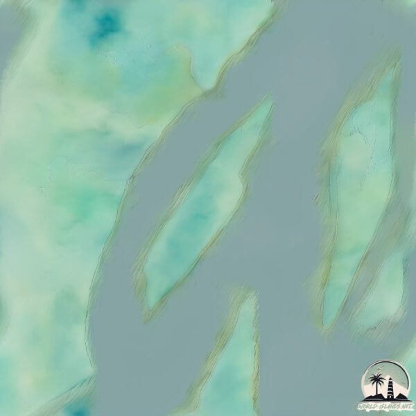
Topography and nature of Ilha Cajari
Timezone: UTC-03:00
Timezone places: America/Sao_Paulo
Max. Elevation: 25 m
Mean Elevation: 18 m
Vegetation: Wetland
Tree Coverage: 74%
The mean elevation is 18 m. The highest elevation on the island reaches approximately 25 meters above sea level. The island is characterized by Plains: Flat, low-lying lands characterized by a maximum elevation of up to 200 meters. On islands, plains are typically coastal lowlands or central flat areas.
Dominating Vegetation: Wetland
These areas are saturated with water, either permanently or seasonally, and support aquatic plants. Wetlands are important for biodiversity and water filtration. Ilha Cajari has a tree cover of 74 %.
Vegetation: 5 vegetation zones – Highly Diverse Island
With five different vegetation zones, these islands offer a rich tapestry of ecosystems. The variety could include dense forests, open meadows, wetlands, coastal zones, and more. This level of diversity supports an intricate web of life, with each zone playing a vital role in the overall ecological health and balance of the island.
Infrastructure and Travelling to Ilha Cajari
Does the island have a public airport? no.
There is no public and scheduled airport on Ilha Cajari. The nearest airport is Monte Dourado – Serra do Areão Airport, located 102 km away.
Does the island have a major port? no.
There are no major ports on Ilha Cajari. The closest major port is PORTO SANTANA, approximately 92 km away.
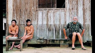
The mean population of Ilha Cajari is 1 per km². Ilha Cajari is Gently Populated. The island belongs to Brazil.
Continuing your journey, Ilha Grande de Gurupá is the next notable island, situated merely km away.
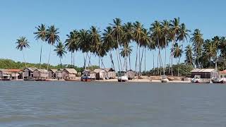
ILHA DOS ARUANS - VITÓRIA DO JARI ❤ UM POUCO DA COMUNIDADE INSCREVA-SE NO CLARO QUE É NOTÍCIAS


Brazil is classified as Emerging region: BRIC: Brazil, Russia, India, and China – Economies noted for their rapid growth and increasing influence on global affairs. The level of income is Upper middle income.
News – Latest Updates and Headlines from Ilha Cajari
Stay informed with the most recent news and important headlines from Ilha Cajari. Here’s a roundup of the latest developments.
Please note: The data used here has been primarily extracted from satellite readings. Deviations from exact values may occur, particularly regarding the height of elevations and population density. Land area and coastline measurements refer to average values at mean high tide.