Irene
Welcome to Irene, a Polar island in the South Pacific Ocean, part of the majestic Pacific Ocean. This guide offers a comprehensive overview of what makes Irene unique – from its geography and climate to its population, infrastructure, and beyond. Dive into the details:
- Geography and Size: Explore the island’s size and location.
- Climate and Weather: Weather patterns and temperature.
- Topography and Nature: Uncover the natural wonders of the island.
- Infrastructure and Travelling: Insights on reaching, staying, and making the most of your visit.
- News and Headlines: Latest News.
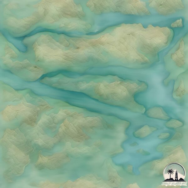
Geography and size of Irene
Size: 19.4 km²
Coastline: 28.8 km
Ocean: Pacific Ocean
Sea: South Pacific Ocean
Continent: South America
Irene is a Medium Island spanning 19 km² with a coastline of 29 km.
Archipel: –
Tectonic Plate: South America – A major plate covering the South American continent and part of the Atlantic Ocean, known for the Andes mountain range and significant seismic and volcanic activity.
The geographic heart of the island is pinpointed at these coordinates:
Latitude: -47.79055397 / Longitude: -74.07408647
Climate and weather of Irene
Climate Zone: Polar
Climate Details: Tundra
Temperature: Cold
Climate Characteristics: The tundra climate features long, extremely cold winters and short, cool summers. Vegetation is limited to mosses, lichens, and small shrubs due to the low temperatures and short growing seasons. Biodiversity is low, but some specialized species thrive.
Topography and nature of Irene
Timezone: UTC-04:00
Timezone places: America/La_Paz
Max. Elevation: 741 m
Mean Elevation: 284 m
Vegetation: Evergreen Broadleaf Forest
Tree Coverage: 69%
The mean elevation is 284 m. The highest elevation on the island reaches approximately 741 meters above sea level. The island is characterized by Plateau: Elevated flatlands rising sharply above the surrounding area, with a maximum elevation over 500 meters but a mean elevation less than 300 meters, forming unique highland areas on islands.
Dominating Vegetation: Evergreen Broadleaf Forest
Characterized by dense, lush canopies of broadleaf trees that retain their leaves year-round. These forests are typically found in tropical and subtropical regions and are known for their high biodiversity. Irene has a tree cover of 69 %.
Vegetation: 6 vegetation zones – Very Highly Diverse Island
Islands in this range are ecological powerhouses, showcasing a wide array of vegetation zones. Each zone, from lush rainforests to arid scrublands, coastal mangroves to mountainous regions, contributes to a complex and interdependent ecosystem. These islands are often hotspots of biodiversity, supporting numerous species and intricate ecological processes.
Infrastructure and Travelling to Irene
Does the island have a public airport? no.
There is no public and scheduled airport on Irene. The nearest airport is Balmaceda Airport, located 332 km away.
Does the island have a major port? no.
There are no major ports on Irene. The closest major port is PUERTO CHACABUCO, approximately 290 km away.
The mean population of Irene is 0 per km². Irene is Uninhabited. The island belongs to Chile.
Continuing your journey, Merino Jarpa is the next notable island, situated merely km away.
| THERE GOES MY BABYYYY | #aphmauedit #aphmau #minecraftmovie #jessica #shorts #fyp


![Irene Apartments Agios Gordios Corfu island [HD]](https://i.ytimg.com/vi/ZvdP-D27eDE/mqdefault.jpg)


Chile is classified as Emerging region: G20: Group of Twenty – Major economies comprising both developed and emerging countries, representing the world’s largest economies. The level of income is Upper middle income.
News – Latest Updates and Headlines from Irene
Stay informed with the most recent news and important headlines from Irene. Here’s a roundup of the latest developments.
Please note: The data used here has been primarily extracted from satellite readings. Deviations from exact values may occur, particularly regarding the height of elevations and population density. Land area and coastline measurements refer to average values at mean high tide.