Isla de La Aguja
Welcome to Isla de La Aguja, a Tropical island in the Caribbean Sea, part of the majestic Atlantic Ocean. This guide offers a comprehensive overview of what makes Isla de La Aguja unique – from its geography and climate to its population, infrastructure, and beyond. Dive into the details:
- Geography and Size: Explore the island’s size and location.
- Climate and Weather: Weather patterns and temperature.
- Topography and Nature: Uncover the natural wonders of the island.
- Infrastructure and Travelling: Insights on reaching, staying, and making the most of your visit.
- News and Headlines: Latest News.
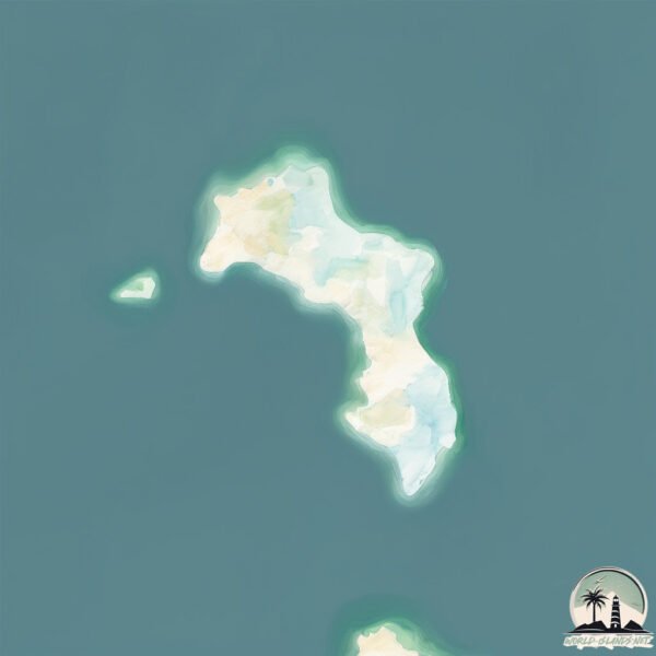
Geography and size of Isla de La Aguja
Size: 0.609 km²
Coastline: 4.6 km
Ocean: Atlantic Ocean
Sea: Caribbean Sea
Continent: South America
Isla de La Aguja is a Tiny Island spanning 0.609 km² with a coastline of 4.6 km.
Archipel: –
Tectonic Plate: North Andes – Located in South America, covering Colombia, Ecuador, and part of Venezuela, it is known for its seismic activity due to interactions with the South American Plate.
The geographic heart of the island is pinpointed at these coordinates:
Latitude: 11.31717594 / Longitude: -74.19449945
Climate and weather of Isla de La Aguja
Climate Zone: Tropical
Climate Details: Tropical Savanna, Wet
Temperature: Hot
Climate Characteristics: Defined by distinct wet and dry seasons with high temperatures year-round. Pronounced rainfall occurs during the wet season, while the dry season is marked by drought.
Topography and nature of Isla de La Aguja
Timezone: UTC-05:00
Timezone places: America/New_York
Max. Elevation: 26 m
Mean Elevation: 17 m
Vegetation: Shrubland
Tree Coverage: 85%
The mean elevation is 17 m. The highest elevation on the island reaches approximately 26 meters above sea level. The island is characterized by Plains: Flat, low-lying lands characterized by a maximum elevation of up to 200 meters. On islands, plains are typically coastal lowlands or central flat areas.
Dominating Vegetation: Shrubland
Dominated by shrubs and small bushes, these areas are typical in dry, rocky, or sandy environments, as well as in regions with poor soil fertility. Isla de La Aguja has a tree cover of 85 %.
Vegetation: 3 vegetation zones – Moderately Diverse Island
These islands start to show a broader range of ecological niches. With three vegetation zones, they may offer a mix of ecosystems like coastal areas, inland woods, and perhaps a distinct wetland or dry area. This diversity supports a wider range of flora and fauna, making these islands more ecologically complex than those with minimal diversity.
Infrastructure and Travelling to Isla de La Aguja
Does the island have a public airport? no.
There is no public and scheduled airport on Isla de La Aguja. The nearest airport is Simón Bolívar International Airport, located 22 km away.
Does the island have a major port? no.
There are no major ports on Isla de La Aguja. The closest major port is SANTA MARTA, approximately 7 km away.
The mean population of Isla de La Aguja is 282 per km². Isla de La Aguja is Moderately Inhabited. The island belongs to Colombia.
Continuing your journey, Isla Tierra Bomba is the next notable island, situated merely km away.
Isla Aguja - Guna Yala (San Blas) - Panamá


Colombia is classified as Developing region: Regions characterized by lower income levels, with economies in the process of industrialization and modernization. The level of income is Upper middle income.
News – Latest Updates and Headlines from Isla de La Aguja
Stay informed with the most recent news and important headlines from Isla de La Aguja. Here’s a roundup of the latest developments.
Please note: The data used here has been primarily extracted from satellite readings. Deviations from exact values may occur, particularly regarding the height of elevations and population density. Land area and coastline measurements refer to average values at mean high tide.