Isla de Providencia
Welcome to Isla de Providencia, a Tropical island in the Caribbean Sea, part of the majestic Atlantic Ocean. This guide offers a comprehensive overview of what makes Isla de Providencia unique – from its geography and climate to its population, infrastructure, and beyond. Dive into the details:
- Geography and Size: Explore the island’s size and location.
- Climate and Weather: Weather patterns and temperature.
- Topography and Nature: Uncover the natural wonders of the island.
- Infrastructure and Travelling: Insights on reaching, staying, and making the most of your visit.
- News and Headlines: Latest News.
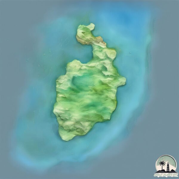
Geography and size of Isla de Providencia
Size: 20.9 km²
Coastline: 23.9 km
Ocean: Atlantic Ocean
Sea: Caribbean Sea
Continent: North America
Isla de Providencia is a Medium Island spanning 21 km² with a coastline of 24 km.
Archipel: –
Tectonic Plate: Caribbean – Covering the Caribbean Sea and surrounding regions, this plate is bordered by the North American Plate and the South American Plate. Known for seismic activity, including earthquakes and volcanic eruptions, and features like the Puerto Rico Trench.
The geographic heart of the island is pinpointed at these coordinates:
Latitude: 13.35120255 / Longitude: -81.37358067
Climate and weather of Isla de Providencia
Climate Zone: Tropical
Climate Details: Tropical Monsoon Climate
Temperature: Hot
Climate Characteristics: Characterized by heavy rainfall, high humidity, and uniformly high temperatures, but with a distinct short dry season. It features a seasonal reversal of prevailing wind directions.
Topography and nature of Isla de Providencia
Timezone: UTC-05:00
Timezone places: America/New_York
Max. Elevation: 251 m
Mean Elevation: 90 m
Vegetation: Evergreen Broadleaf Forest
Tree Coverage: 68%
The mean elevation is 90 m. The highest elevation on the island reaches approximately 251 meters above sea level. The island is characterized by Hills: Gently sloping landforms with rounded tops, having a maximum elevation between 200 and 500 meters. Hills contribute to a varied landscape on islands.
Dominating Vegetation: Evergreen Broadleaf Forest
Characterized by dense, lush canopies of broadleaf trees that retain their leaves year-round. These forests are typically found in tropical and subtropical regions and are known for their high biodiversity. Isla de Providencia has a tree cover of 68 %.
Vegetation: 10 vegetation zones – Very Highly Diverse Island
Islands in this range are ecological powerhouses, showcasing a wide array of vegetation zones. Each zone, from lush rainforests to arid scrublands, coastal mangroves to mountainous regions, contributes to a complex and interdependent ecosystem. These islands are often hotspots of biodiversity, supporting numerous species and intricate ecological processes.
Infrastructure and Travelling to Isla de Providencia
Does the island have a public airport? yes.
Isla de Providencia has a public and scheduled airport. The following airports are located on this island: El Embrujo Airport.
Does the island have a major port? no.
There are no major ports on Isla de Providencia. The closest major port is PUERTO CABEZAS, approximately 233 km away.
The mean population of Isla de Providencia is 278 per km². Isla de Providencia is Moderately Inhabited. The island belongs to Colombia.
Continuing your journey, Isla de San Andrés is the next notable island, situated merely km away.
Island Stories: Old Providence, Colombia - BBC News


Colombia is classified as Developing region: Regions characterized by lower income levels, with economies in the process of industrialization and modernization. The level of income is Upper middle income.
News – Latest Updates and Headlines from Isla de Providencia
Stay informed with the most recent news and important headlines from Isla de Providencia. Here’s a roundup of the latest developments.
Please note: The data used here has been primarily extracted from satellite readings. Deviations from exact values may occur, particularly regarding the height of elevations and population density. Land area and coastline measurements refer to average values at mean high tide.