Isla Huáscar
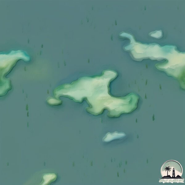
Welcome to Isla Huáscar, a Polar island in the South Pacific Ocean, part of the majestic Pacific Ocean. This guide offers a comprehensive overview of what makes Isla Huáscar unique – from its geography and climate to its population, infrastructure, and beyond. Dive into the details:
- Geography and Size: Explore the island’s size and location.
- Climate and Weather: Weather patterns and temperature.
- Topography and Nature: Uncover the natural wonders of the island.
- Infrastructure and Travelling: Insights on reaching, staying, and making the most of your visit.
- News and Headlines: Latest News.
Geography and size of Isla Huáscar
Size: 0.559 km²
Coastline: 4.9 km
Ocean: Pacific Ocean
Sea: South Pacific Ocean
Continent: South America
Isla Huáscar is a Tiny Island spanning 0.559 km² with a coastline of 4.9 km.
Archipel: –
Tectonic Plate: South America – A major plate covering the South American continent and part of the Atlantic Ocean, known for the Andes mountain range and significant seismic and volcanic activity.
The geographic heart of the island is pinpointed at these coordinates:
Latitude: -52.40121525 / Longitude: -74.24142319
Climate and weather of Isla Huáscar
Climate Zone: Polar
Climate Details: Tundra
Temperature: Cold
Climate Characteristics: The tundra climate features long, extremely cold winters and short, cool summers. Vegetation is limited to mosses, lichens, and small shrubs due to the low temperatures and short growing seasons. Biodiversity is low, but some specialized species thrive.
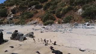
Topography and nature of Isla Huáscar
Timezone: UTC-04:00
Timezone places: America/La_Paz
Max. Elevation: 12 m
Mean Elevation: 9 m
Vegetation: Herbaceous Cover
Tree Coverage: 54%
The mean elevation is 9 m. The highest elevation on the island reaches approximately 12 meters above sea level. The island is characterized by Plains: Flat, low-lying lands characterized by a maximum elevation of up to 200 meters. On islands, plains are typically coastal lowlands or central flat areas.
Dominating Vegetation: Herbaceous Cover
Comprising mainly of grasses, herbs, and ferns, these areas are common in prairies, meadows, and savannas, and can vary widely in species composition. Isla Huáscar has a tree cover of 54 %.
Vegetation: 2 vegetation zones – Low Diversity Island
Islands with two distinct vegetation zones offer slightly more ecological variety. These zones could be due to differences in elevation, moisture, or other environmental factors. While still limited in biodiversity, these islands may offer a contrast between the two zones, such as a coastline with mangroves and an inland area with grassland.
Infrastructure and Travelling to Isla Huáscar
Does the island have a public airport? no.
There is no public and scheduled airport on Isla Huáscar. The nearest airport is Lieutenant Julio Gallardo Airport, located 206 km away.
Does the island have a major port? no.
There are no major ports on Isla Huáscar. The closest major port is PUERTO NATALES, approximately 200 km away.
The mean population of Isla Huáscar is 1 per km². Isla Huáscar is Uninhabited. The island belongs to Chile.
Continuing your journey, Rosas is the next notable island, situated merely km away.
Lost Civilizations | Collapses and Ancient Ruins


Chile is classified as Emerging region: G20: Group of Twenty – Major economies comprising both developed and emerging countries, representing the world’s largest economies. The level of income is Upper middle income.
News – Latest Updates and Headlines from Isla Huáscar
Stay informed with the most recent news and important headlines from Isla Huáscar. Here’s a roundup of the latest developments.
Please note: The data used here has been primarily extracted from satellite readings. Deviations from exact values may occur, particularly regarding the height of elevations and population density. Land area and coastline measurements refer to average values at mean high tide.