Jolly Islet
Welcome to Jolly Islet, a Tropical island in the Arafura Sea, part of the majestic Indian Ocean. This guide offers a comprehensive overview of what makes Jolly Islet unique – from its geography and climate to its population, infrastructure, and beyond. Dive into the details:
- Geography and Size: Explore the island’s size and location.
- Climate and Weather: Weather patterns and temperature.
- Topography and Nature: Uncover the natural wonders of the island.
- Infrastructure and Travelling: Insights on reaching, staying, and making the most of your visit.
- News and Headlines: Latest News.
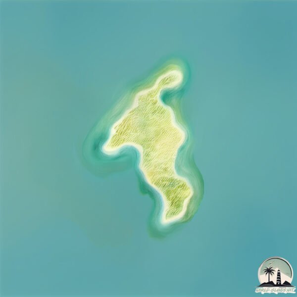
Geography and size of Jolly Islet
Size: 1.065 km²
Coastline: 6.1 km
Ocean: Indian Ocean
Sea: Arafura Sea
Continent: Oceania
Jolly Islet is a Small Island spanning 1.1 km² with a coastline of 6.1 km.
Archipel: –
Tectonic Plate: New Hebrides – A small plate in the southwestern Pacific Ocean, responsible for the New Hebrides Trench and known for its complex interaction with the Australian Plate.
The geographic heart of the island is pinpointed at these coordinates:
Latitude: -15.76815512 / Longitude: 136.94560854
Climate and weather of Jolly Islet
Climate Zone: Tropical
Climate Details: Tropical Savanna, Wet
Temperature: Hot
Climate Characteristics: Defined by distinct wet and dry seasons with high temperatures year-round. Pronounced rainfall occurs during the wet season, while the dry season is marked by drought.
Topography and nature of Jolly Islet
Timezone: UTC+09:30
Timezone places: Australia/Adelaide
Max. Elevation: 4 m
Mean Elevation: 3 m
Vegetation: Open Woodland
Tree Coverage: 31%
The mean elevation is 3 m. The highest elevation on the island reaches approximately 4 meters above sea level. The island is characterized by Plains: Flat, low-lying lands characterized by a maximum elevation of up to 200 meters. On islands, plains are typically coastal lowlands or central flat areas.
Dominating Vegetation: Open Woodland
Characterized by sparsely distributed trees with open canopy allowing sunlight to penetrate, supporting grasses and shrubs underneath. Often found in drier or transitional environments. Jolly Islet has a tree cover of 31 %.
Vegetation: 1 vegetation zones – Minimal Diversity Island
These islands exhibit the most basic level of ecological diversity, often characterized by a single dominant vegetation type. This could be due to extreme environmental conditions, limited land area, or significant human impact. They represent unique ecosystems where specific species have adapted to thrive in these singular environments.
Infrastructure and Travelling to Jolly Islet
Does the island have a public airport? no.
There is no public and scheduled airport on Jolly Islet. The nearest airport is McArthur River Mine Airport, located 121 km away.
Does the island have a major port? no.
There are no major ports on Jolly Islet. The closest major port is MILNER BAY, approximately 218 km away.
The mean population of Jolly Islet is 0 per km². Jolly Islet is Uninhabited. The island belongs to Australia.
Continuing your journey, Vanderlin is the next notable island, situated merely km away.
Jolly island prediction 1 - Kiccop


Australia is classified as Developed region: nonG7: Developed economies outside of the Group of Seven, characterized by high income and advanced economic structures. The level of income is High income: OECD.
News – Latest Updates and Headlines from Jolly Islet
Stay informed with the most recent news and important headlines from Jolly Islet. Here’s a roundup of the latest developments.
Please note: The data used here has been primarily extracted from satellite readings. Deviations from exact values may occur, particularly regarding the height of elevations and population density. Land area and coastline measurements refer to average values at mean high tide.