Jumundo
Welcome to Jumundo, a Continental island in the Yellow Sea, part of the majestic Pacific Ocean. This guide offers a comprehensive overview of what makes Jumundo unique – from its geography and climate to its population, infrastructure, and beyond. Dive into the details:
- Geography and Size: Explore the island’s size and location.
- Climate and Weather: Weather patterns and temperature.
- Topography and Nature: Uncover the natural wonders of the island.
- Infrastructure and Travelling: Insights on reaching, staying, and making the most of your visit.
- News and Headlines: Latest News.
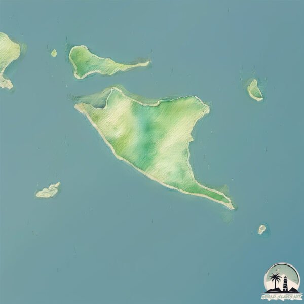
Geography and size of Jumundo
Size: 4.575 km²
Coastline: 15.7 km
Ocean: Pacific Ocean
Sea: Yellow Sea
Continent: Asia
Jumundo is a Small Island spanning 4.6 km² with a coastline of 15.7 km.
Archipel: –
Tectonic Plate: Eurasia – One of the world’s largest tectonic plates, the Eurasian Plate covers a significant portion of Europe and Asia. It’s characterized by diverse geological features, including the Ural Mountains, the European Plain, and the Himalayas formed from its collision with the Indian Plate.
The geographic heart of the island is pinpointed at these coordinates:
Latitude: 37.64370027 / Longitude: 126.24267014
Climate and weather of Jumundo
Climate Zone: Continental
Climate Details: Monsoon-Influenced Hot-Summer Humid Continental Climate
Temperature: Hot Summer
Climate Characteristics: Hot summers with monsoon rains, contrasting with dry, cold winters. Typical of east Asian continental edges.
Topography and nature of Jumundo
Timezone: UTC+09:00
Timezone places: Asia/Tokyo
Max. Elevation: 51 m
Mean Elevation: 28 m
Vegetation: Agricultural Mosaic
Tree Coverage: 54%
The mean elevation is 28 m. The highest elevation on the island reaches approximately 51 meters above sea level. The island is characterized by Plains: Flat, low-lying lands characterized by a maximum elevation of up to 200 meters. On islands, plains are typically coastal lowlands or central flat areas.
Dominating Vegetation: Agricultural Mosaic
A mix of cropland and natural vegetation, often seen in rural landscapes where agricultural fields are interspersed with patches of natural habitats. Jumundo has a tree cover of 54 %.
Vegetation: 9 vegetation zones – Very Highly Diverse Island
Islands in this range are ecological powerhouses, showcasing a wide array of vegetation zones. Each zone, from lush rainforests to arid scrublands, coastal mangroves to mountainous regions, contributes to a complex and interdependent ecosystem. These islands are often hotspots of biodiversity, supporting numerous species and intricate ecological processes.
Infrastructure and Travelling to Jumundo
Does the island have a public airport? no.
There is no public and scheduled airport on Jumundo. The nearest airport is Incheon International Airport, located 27 km away.
Does the island have a major port? no.
There are no major ports on Jumundo. The closest major port is INCHON, approximately 43 km away.
The mean population of Jumundo is 126 per km². Jumundo is Moderately Inhabited. The island belongs to South Korea.
Continuing your journey, Seongmodo is the next notable island, situated merely km away.
주문도의 손맛은 끝내주었다!!!


South Korea is classified as Emerging region: MIKT: Mexico, Indonesia, South Korea, and Turkey – Economies recognized for their development potential and emerging market status. The level of income is High income: OECD.
News – Latest Updates and Headlines from Jumundo
Stay informed with the most recent news and important headlines from Jumundo. Here’s a roundup of the latest developments.
Please note: The data used here has been primarily extracted from satellite readings. Deviations from exact values may occur, particularly regarding the height of elevations and population density. Land area and coastline measurements refer to average values at mean high tide.