Kagen
Welcome to Kagen, a Continental island in the Norwegian Sea, part of the majestic Arctic Ocean. This guide offers a comprehensive overview of what makes Kagen unique – from its geography and climate to its population, infrastructure, and beyond. Dive into the details:
- Geography and Size: Explore the island’s size and location.
- Climate and Weather: Weather patterns and temperature.
- Topography and Nature: Uncover the natural wonders of the island.
- Infrastructure and Travelling: Insights on reaching, staying, and making the most of your visit.
- News and Headlines: Latest News.
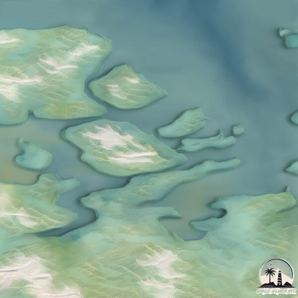
Geography and size of Kagen
Size: 86.4 km²
Coastline: 57.1 km
Ocean: Arctic Ocean
Sea: Norwegian Sea
Continent: Europe
Kagen is a Medium Island spanning 86 km² with a coastline of 57 km.
Archipel: –
Tectonic Plate: Eurasia – One of the world’s largest tectonic plates, the Eurasian Plate covers a significant portion of Europe and Asia. It’s characterized by diverse geological features, including the Ural Mountains, the European Plain, and the Himalayas formed from its collision with the Indian Plate.
The geographic heart of the island is pinpointed at these coordinates:
Latitude: 69.98100565 / Longitude: 20.84903459
Climate and weather of Kagen
Climate Zone: Continental
Climate Details: Subarctic Climate
Temperature: Cold Summer
Climate Characteristics: Characterized by long, extremely cold winters and short, cool summers, often found in northern latitudes of North America and Eurasia.
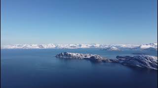
Topography and nature of Kagen
Timezone: UTC+01:00
Timezone places: Europe/Paris
Max. Elevation: 1083 m
Mean Elevation: 394 m
Vegetation: Sparse Vegetation
Tree Coverage: 65%
The mean elevation is 394 m. The highest elevation on the island reaches approximately 1083 meters above sea level. The island is characterized by Mountains: High, steeply elevated landforms. Characterized by both a high maximum elevation (over 500 meters) and a high mean elevation, creating rugged, mountainous terrains on islands.
Dominating Vegetation: Sparse Vegetation
These regions have limited plant growth, typically due to extreme conditions like aridity or poor soils. Vegetation is scattered and consists of hardy plant species. Kagen has a tree cover of 65 %.
Vegetation: 9 vegetation zones – Very Highly Diverse Island
Islands in this range are ecological powerhouses, showcasing a wide array of vegetation zones. Each zone, from lush rainforests to arid scrublands, coastal mangroves to mountainous regions, contributes to a complex and interdependent ecosystem. These islands are often hotspots of biodiversity, supporting numerous species and intricate ecological processes.
Infrastructure and Travelling to Kagen
Does the island have a public airport? no.
There is no public and scheduled airport on Kagen. The nearest airport is Sørkjosen Airport, located 17 km away.
Does the island have a major port? no.
There are no major ports on Kagen. The closest major port is SORVAER, approximately 124 km away.
The mean population of Kagen is 6 per km². Kagen is Gently Populated. The island belongs to Norway.
Continuing your journey, Skjervoya is the next notable island, situated merely km away.
Kagen: Stop Renard Island construction


Norway is classified as Developed region: nonG7: Developed economies outside of the Group of Seven, characterized by high income and advanced economic structures. The level of income is High income: OECD.
News – Latest Updates and Headlines from Kagen
Stay informed with the most recent news and important headlines from Kagen. Here’s a roundup of the latest developments.
Please note: The data used here has been primarily extracted from satellite readings. Deviations from exact values may occur, particularly regarding the height of elevations and population density. Land area and coastline measurements refer to average values at mean high tide.