Kaji Shima

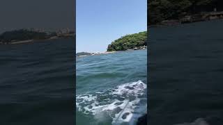
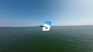
Welcome to Kaji Shima, a Temperate island in the Seto Naikai or Inland Sea, part of the majestic Pacific Ocean. This guide offers a comprehensive overview of what makes Kaji Shima unique – from its geography and climate to its population, infrastructure, and beyond. Dive into the details:
- Geography and Size: Explore the island’s size and location.
- Climate and Weather: Weather patterns and temperature.
- Topography and Nature: Uncover the natural wonders of the island.
- Infrastructure and Travelling: Insights on reaching, staying, and making the most of your visit.
- News and Headlines: Latest News.
Geography and size of Kaji Shima
Size: 0.241 km²
Coastline: 2.4 km
Ocean: Pacific Ocean
Sea: Seto Naikai or Inland Sea
Continent: Asia
Kaji Shima is a Tiny Island spanning 0.241 km² with a coastline of 2.4 km.
Archipel: Japan – An East Asian archipelago comprising four main islands and numerous smaller ones, known for its rich history, technological advances, and distinct culture.
Tectonic Plate: Amur – A minor tectonic plate in the region of the Amur River at the border of Russia and China, involved in complex interactions with the Pacific and Eurasian plates.
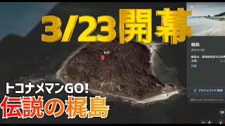
The geographic heart of the island is pinpointed at these coordinates:
Latitude: 34.12166885 / Longitude: 133.15800604
Climate and weather of Kaji Shima
Climate Zone: Temperate
Climate Details: Humid Subtropical Climate
Temperature: Hot Summer
Climate Characteristics: With continuous rainfall and hot summers, this climate is common in some coastal regions, supporting diverse vegetation.
Topography and nature of Kaji Shima
Timezone: UTC+09:00
Timezone places: Asia/Tokyo
Max. Elevation: 2 m
Mean Elevation: 1 m
Vegetation: Evergreen Broadleaf Forest
Tree Coverage: 79%
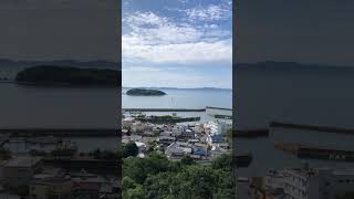
The mean elevation is 1 m. The highest elevation on the island reaches approximately 2 meters above sea level. The island is characterized by Plains: Flat, low-lying lands characterized by a maximum elevation of up to 200 meters. On islands, plains are typically coastal lowlands or central flat areas.
Dominating Vegetation: Evergreen Broadleaf Forest
Characterized by dense, lush canopies of broadleaf trees that retain their leaves year-round. These forests are typically found in tropical and subtropical regions and are known for their high biodiversity. Kaji Shima has a tree cover of 79 %.
Vegetation: 2 vegetation zones – Low Diversity Island
Islands with two distinct vegetation zones offer slightly more ecological variety. These zones could be due to differences in elevation, moisture, or other environmental factors. While still limited in biodiversity, these islands may offer a contrast between the two zones, such as a coastline with mangroves and an inland area with grassland.
Infrastructure and Travelling to Kaji Shima
Does the island have a public airport? no.
There is no public and scheduled airport on Kaji Shima. The nearest airport is Hiroshima Airport, located 44 km away.
Does the island have a major port? no.
There are no major ports on Kaji Shima. The closest major port is IMABARI KO, approximately 17 km away.
The mean population of Kaji Shima is 373 per km². Kaji Shima is Moderately Inhabited. The island belongs to Japan.
Continuing your journey, Hakata Jima is the next notable island, situated merely km away.
Keemokazi’s family and their dates 😳


Japan is classified as Developed region: G7: Group of Seven – Major advanced economies, including Canada, France, Germany, Italy, Japan, the United Kingdom, and the United States. The level of income is High income: OECD.
News – Latest Updates and Headlines from Kaji Shima
Stay informed with the most recent news and important headlines from Kaji Shima. Here’s a roundup of the latest developments.
Please note: The data used here has been primarily extracted from satellite readings. Deviations from exact values may occur, particularly regarding the height of elevations and population density. Land area and coastline measurements refer to average values at mean high tide.